Please login or click here to join.
Forgot Password? Click Here to reset pasword
Located in Northumberland, Corbridge is a historic market town with Roman connections. It features charming streets, historic buildings, and the Corbridge Roman Town archaeological site...
Historic market town where for centuries the sheep and cattle farmers of Northumberland gathered for the Tuesday market beside Hexham Abbey...
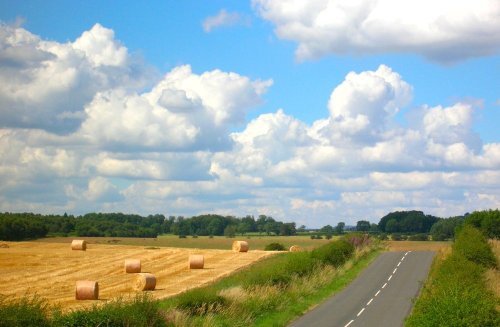
The village of Wall lies in the high uplands of Northumberland in spacious countryside bordered by the rivers South Tyne and North Tyne, close to Chester's Fort on historic Hadrian's Wall...
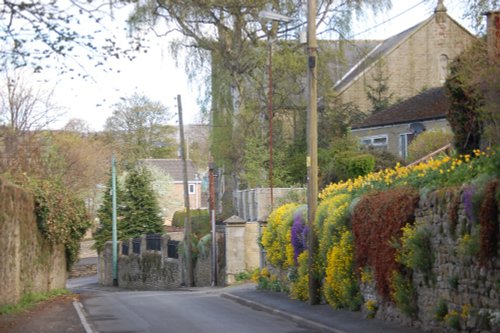
Chollerford is a delightful village destination. It is a popular base for tourists visiting Hadrian's Wall and Chester Fort. The region is also popular with keen fishermen, with.....
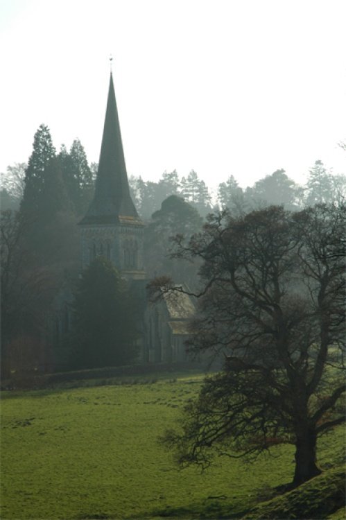
Blanchland is a small picturesque village nestled beside the river in the Derwent Valley within the North Pennines Area Of Outstanding Natural Beauty. It is surrounded by.....
This is an historic village, it took its name from a Baron de Bolam in the 13th century...
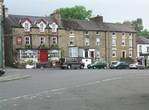
This picturesque Northumberland village enjoys a lovely location in the fine hill and dale countryside of the beautiful East Allen Valley...
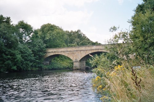
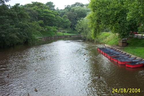
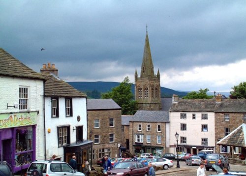
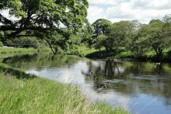
The market town of Bellingham sits on one of Northumberland's prettiest stretches of water, the north bank of the River North Tyne...
This is a picturesque village lying amongst sprawling open countryside criss crossed by dancing streams, tributaries of the River West Allen...
This important City was known as Pons Aelii in Roman times; the Romans built the first bridge over the River Tyne, it was guarded by a Roman fort which was replaced by a castle.....
In this gentle setting the village, with its scattering of 18th-century properties around a picturesque village green, is the perfect example of English village life...
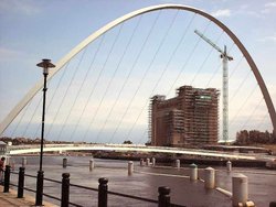
The urban sprawl of Gateshead rises majestically skywards in a seemingly endless mixture of concrete and glass. Gateshead stretches for almost 13 miles along the banks of the River Tyne...
Beamish is famous for its lovely open-air museum which so vividly brings to life how the folk of the region lived at the turn of the 20th century...
This is a lovely, bustling little town is set amidst the charm of Weardale, it is almost entirely built of stone particularly around the old Market Square, dominated by a fine stone cross...
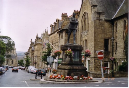
Hidden in the spacious Northumberland countryside where centuries ago the towns and villages of this vast region were the scene of border raids and skirmishes, lies the busy market town of Morpeth...
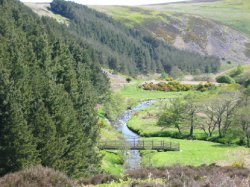
This is a lovely village lying on the edge of the North Pennines in an area of great scenic beauty. It is a wild and beautiful landscape dotted only by scattered farms with meadows full of grazing sheep and cattle...
Nestling beside the sparkling River Nent, Nenthead lies on Alston Moor, in a lonely remote North Pennine Area of Outstanding Natural Beauty, between the pleasant market town of Alston and the Killhope lead mining museum...
At a height of over 1,000 feet in the far reaches of the Pennines, this is one of England's highest market towns. Alston is a lively bustling place of steeply rising narrow.....
..
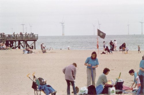
This is the town that is famous for the 1930's "Hunger March" caused by the intense poverty that followed the closing of the Charles Palmer shipyard. The last of the surviving marchers, Cornelius Whalen died in 2003 at the age of 93...
..
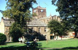
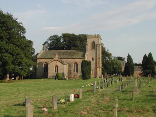
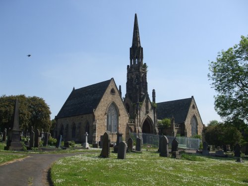
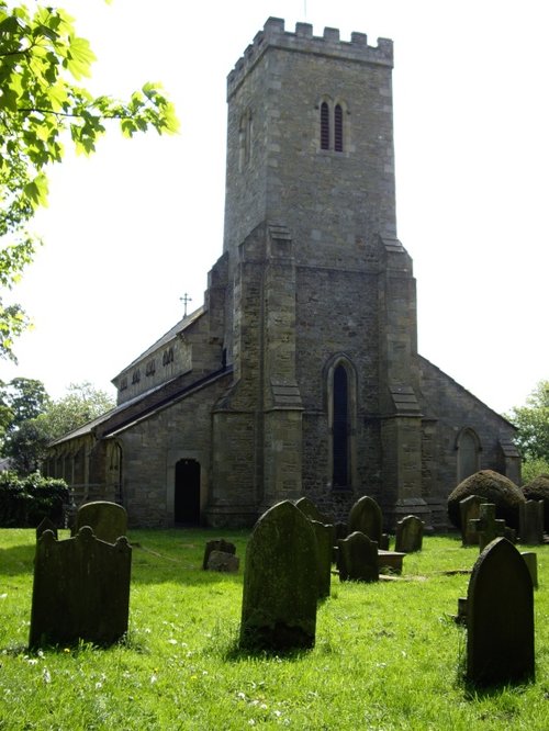
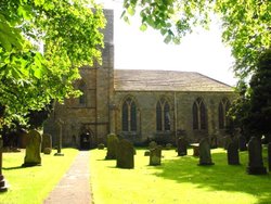
Hexham Abbey is a refoundation of a church which stood on this spot in the year 675, it survived until 821, later the town was.....
..
..
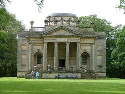
The dramatic gardens of the Belsay Hall estate are listed Grade I in the Register of Parks and Gardens. They surround a superb.....
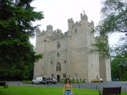
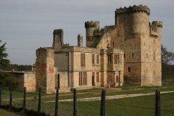
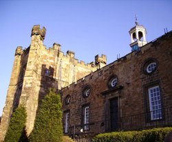
Built in 1350, during the reign of Edward III, the castle has retained its architectural integrity and is regarded as one of the.....
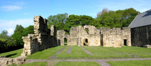
Blanchland Abbey was founded as a priory in 1165 by Walter de Bolbec II, and became an abbey in the late 13th century. The.....
Bolam Lake Country Park occupies a lovely landscape amidst rich Northumbrian countryside. It has lovely watery areas enriched.....
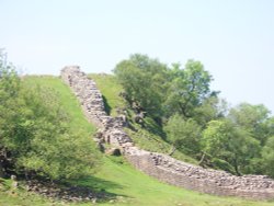
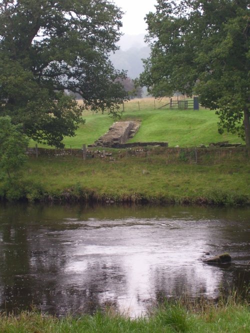
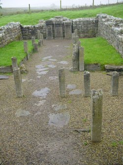
Wild and evocative remains of the Roman Empire's most northerly defences, with panoramic views. Roman barracks and some of the.....
Gibside is famous for the sedate historic estate set at the heart of the outstandingly beautiful Derwent Valley. The estate was.....
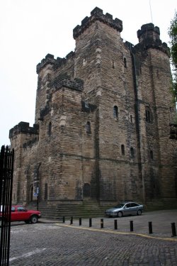
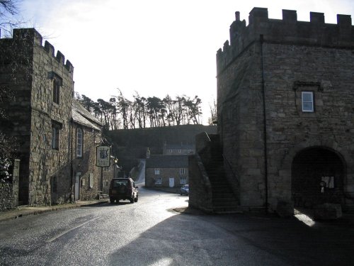
On returning from a raid into Scotland, Robert Curthose, eldest son of William the Conqueror built a castle calling it his `New.....
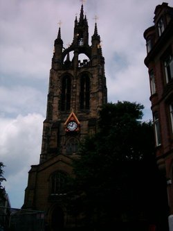
The magnificent cathedral church of St. Nicholas has stood at the heart of Newcastle for many centuries. Its superb lantern.....
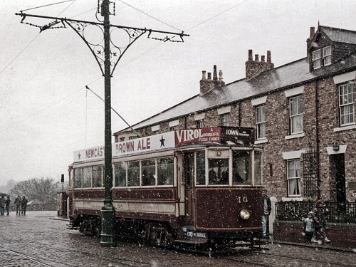
Beamish Museum lies in a basin of stunning countryside covering over three hundred acres. This is no ordinary museum, but an.....

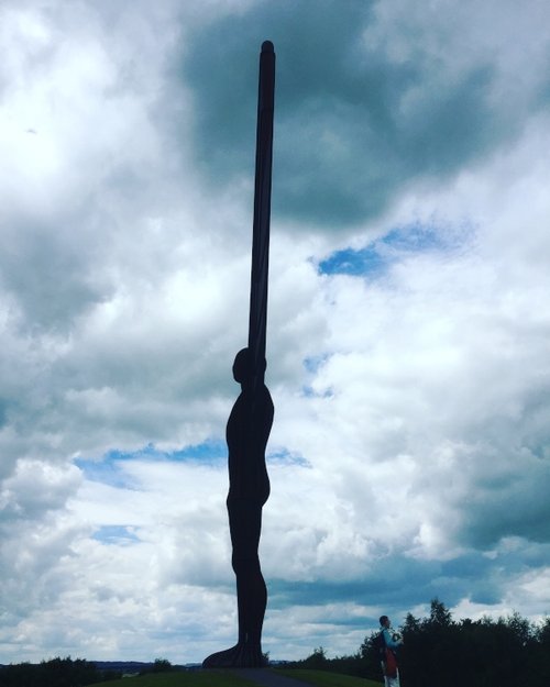
Britain's largest sculpture, The Angel of the North weighs in at 208 tonnes and stands 20 metres high. It was based on artist.....
The Baltic Centre is a new £46m art gallery on the banks of the Tyne and is the latest evidence of the area's growing cultural.....
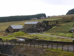
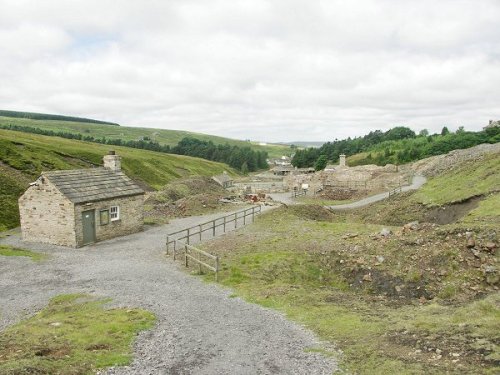
Killhope Lead Mining Museum keeps alive the counties lead mining traditions. This is a fully restored site of a working mine.....
This lovely scenic valley lies between the town of Bishop Auckland, seat of princes of the church and the charming market town of.....
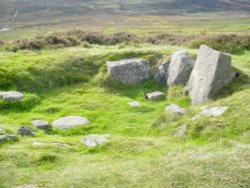
Ancient cup-and-ring marked outcrop and Iron Age hillfort in Northumberland National Park..
The Northumberland National Park is surely Northumberland's special blessing. It is an area of wild, desolate moorland and dark,.....
..
Follow PicturesOfEngland.com on social media and help share the beauty of England....