Pictures of England

Search:

Historic Towns & Picturesque Villages

Hemsby beach, Norfolk

Hemsby

in the county of Norfolk

Maryport Harbour

Maryport

a Seaside Town in the county of Cumbria

Isle of Man - Peel, Harbour Mouth and Beach

Peel

in the county of Isle of Man

Pictures of Garrigill

in the county of Cumbria

About Garrigill

This delightful place can be found on the banks of the South Tyne River, it is also on the route of the arduous Pennine Way surrounded by numerous beauty spots.

The village has a spacious village green, around which are clusters of solid stone houses and cottages. One of its oldest buildings is the village pub dating to the 17th-century when it was a coaching inn. Many of its old features are retained including its beautiful flag-stone floor and fireplace. The village has a general store and a tiny church dedicated to St.John which was built in 1790 to replace an earlier church. A stone walled churchyard gives shelter to graves dating back to late in the 16th-century. The interior has Rolls of Honour painted by local artists.

In the 18th-century the London Lead Mining Company were important to the livelihood of the community, and the Quaker Company built cottages for its workers, some of these are now used as holiday cottages.

Here in this picturesque remote valley the only traffic jams you are likely to come across are those caused by sheep and cattle being moved from meadow to meadow. It is after all famous walking country so visitors find little to mar it timeless charm and tranquillity, save for walkers and cyclists.

Recommended towns & villages near Garrigill

Miners Arms, Nenthead, Cumbria

Nenthead (14 Pictures) a Picturesque Village in the county of Cumbria

(2.6 miles, 4.2 km, direction NE of Garrigill)

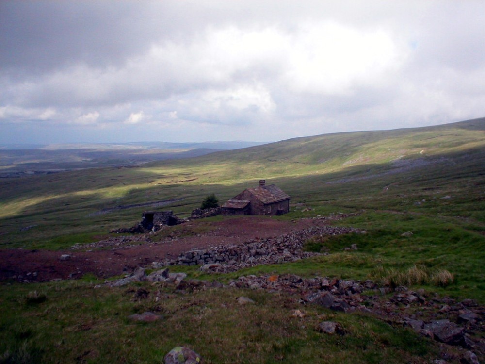
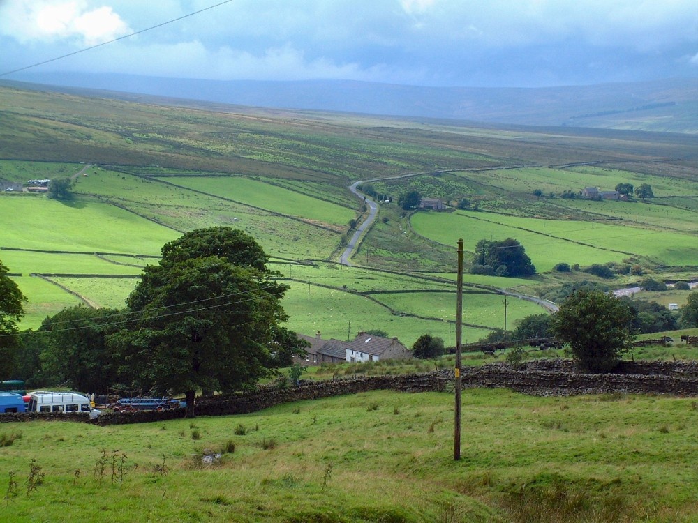
Nestling beside the sparkling River Nent, Nenthead lies on Alston Moor, in a lonely remote North Pennine Area of Outstanding Natural Beauty, between the pleasant market town of Alston and the Killhope lead mining museum...

Alston, Cumbria

Alston (32 Pictures) a Historic Market Town in the county of Cumbria

(3.5 miles, 5.7 km, direction NW of Garrigill)

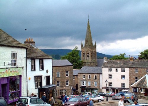
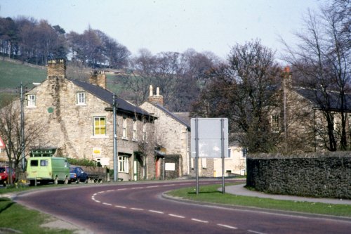
At a height of over 1,000 feet in the far reaches of the Pennines, this is one of England's highest market towns. Alston is a lively bustling place of steeply rising narrow.....

The Church at Whitfield, Northumberland

Whitfield (2 Pictures) a Picturesque Village in the county of Northumberland

(10.6 miles, 17.1 km, direction N of Garrigill)

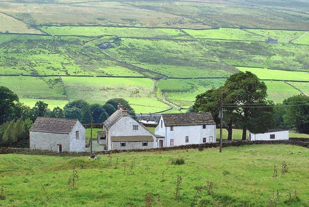
This is a picturesque village lying amongst sprawling open countryside criss crossed by dancing streams, tributaries of the River West Allen...

High Force, Englands highest waterfall. On the River Tees, Upper Teesdale, Co.Durham.

Forest-in-Teesdale (30 Pictures) in the county of County Durham

(10.7 miles, 17.2 km, direction SE of Garrigill)

It's landscape, possessed of a wild untamed beauty, highlighted by the meandering River Tees, has a few ancient farmhouses and old stone cottages...

Allendale village, Northumberland

Allendale Town (23 Pictures) a Picturesque Village in the county of Northumberland

(10.7 miles, 17.3 km, direction NE of Garrigill)

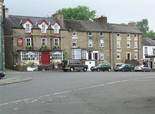
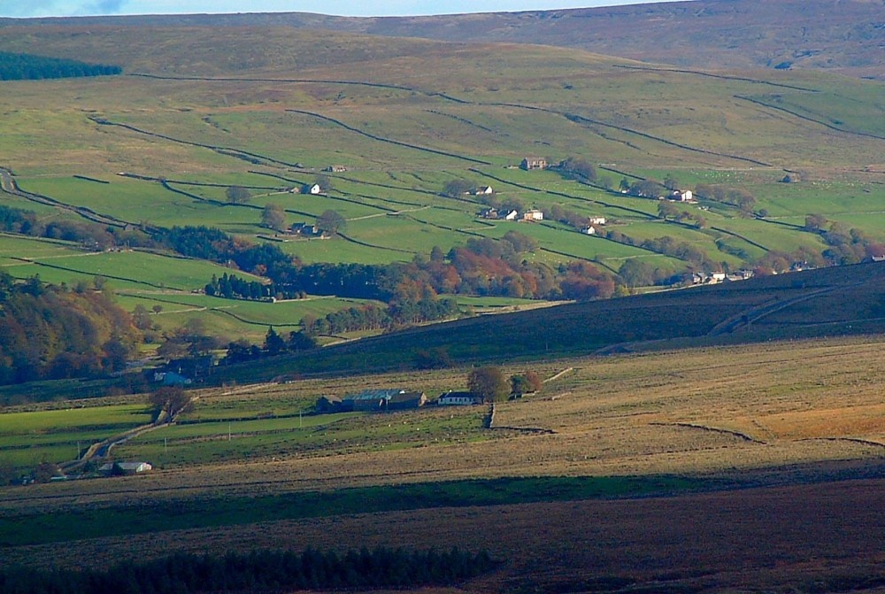
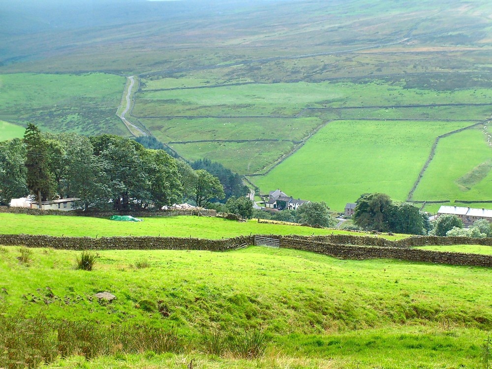
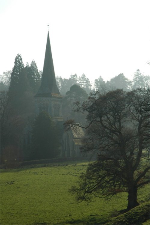
This picturesque Northumberland village enjoys a lovely location in the fine hill and dale countryside of the beautiful East Allen Valley...

All towns & villages in Cumbria
Complete A to Z of towns & villages in England

Nearby attractions..

Killhope Lead Mining Museum high in Upper Weardale. A desolate but magical place.

Killhope Lead Mining Museum (7 Pictures)

(4.9 miles, 7.9 km, direction E)

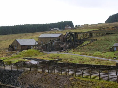
Killhope Lead Mining Museum keeps alive the counties lead mining traditions. This is a fully restored site of a working mine.....

Frosterly in Weardale, County Durham

Weardale (20 Pictures)

(9.9 miles, 15.8 km, direction E)

This lovely scenic valley lies between the town of Bishop Auckland, seat of princes of the church and the charming market town of.....

Long Meg & her Daughters (Maughanby Circle)- near Penrith, Cumbria

Long Meg & her Daughters (14 Pictures)

(11.1 miles, 17.9 km, direction W)

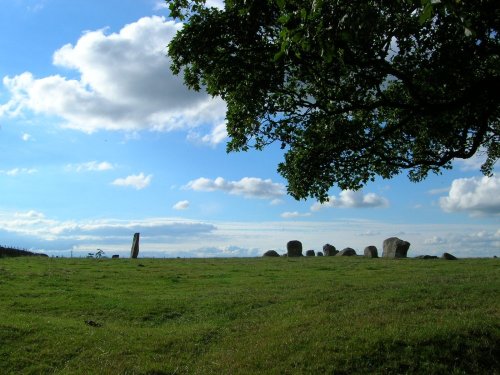
The 12 foot high mass of sandstone known as Long Meg can be found close to a circle of smaller "daughter" stones in a spectacular.....

High Force, Englands highest waterfall. On the River Tees, Upper Teesdale, Co.Durham.

High Force (56 Pictures)

(11.7 miles, 18.8 km, direction SE)

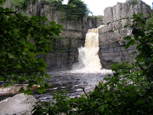
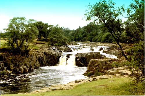
This is the Tees most spectacular offering, it is also England's highest waterfall. The best time to see High Force is just.....

Langley Castle Hotel, Tynedale, Northumberland

Langley Castle (3 Pictures)

(14.3 miles, 23.0 km, direction NE)

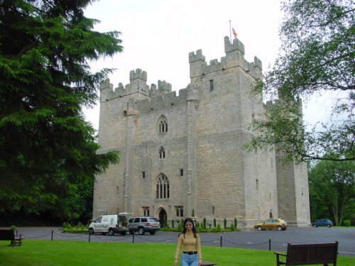
Built in 1350, during the reign of Edward III, the castle has retained its architectural integrity and is regarded as one of the.....

Blanchland Abbey, Northumberland

Blanchland Abbey (1 Pictures)

(14.9 miles, 24.0 km, direction E)

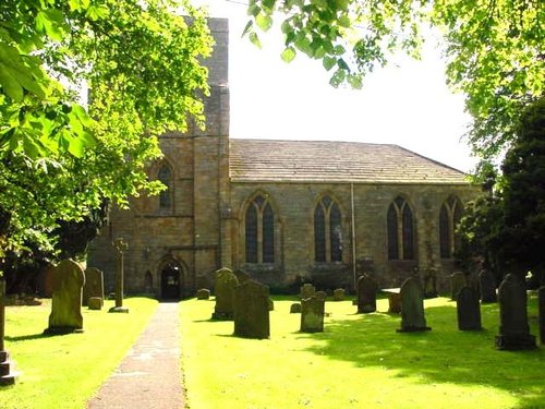
Blanchland Abbey was founded as a priory in 1165 by Walter de Bolbec II, and became an abbey in the late 13th century. The.....

Brougham Castle, Penrith, Cumbria

Brougham Castle (12 Pictures)

(15.3 miles, 24.6 km, direction SW)

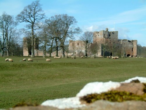
Coming Soon. Can you tell us about Brougham Castle? broughamcastle@picturesofengland.com..


All attractions in Garrigill
All attractions in Cumbria
Complete A to Z of attractions in England