Pictures of England

Search:

Historic Towns & Picturesque Villages


Pictures of Charlton

in the county of Northumberland
No picture available

About Charlton

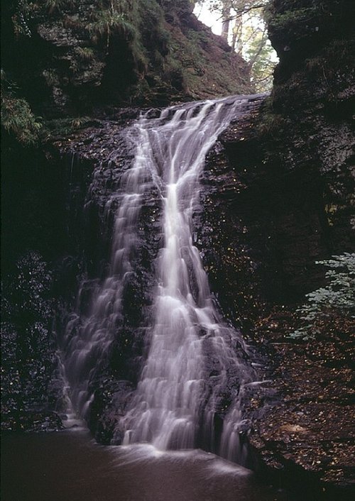
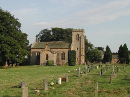
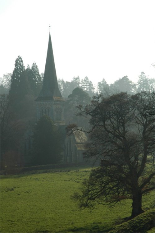
If you would like to add a description of Charlton, please use our Charlton forum here. To upload your Charlton photography and create your very own 'Pictures of England Gallery', click here or here to join the site and become part of the Pictures of England community, or simply see below for nearby recommended towns, attractions, and Charlton accommodation.

Recommended towns & villages near Charlton

A picture of Bellingham

Bellingham (7 Pictures) a Historic Market Town in the county of Northumberland

(1.8 miles, 2.8 km, direction SE of Charlton)

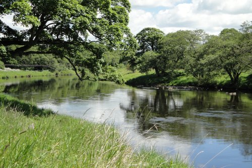
The market town of Bellingham sits on one of Northumberland's prettiest stretches of water, the north bank of the River North Tyne...

St.Michael's Church in the village of WALL in the county of NORTHUMBERLAND - August 2003

Wall (1 Pictures) a Picturesque Village in the county of Northumberland

(11.7 miles, 18.9 km, direction SE of Charlton)

The village of Wall lies in the high uplands of Northumberland in spacious countryside bordered by the rivers South Tyne and North Tyne, close to Chester's Fort on historic Hadrian's Wall...

Keilder Water

Kielder (57 Pictures) in the county of Northumberland

(12.9 miles, 20.8 km, direction NW of Charlton)

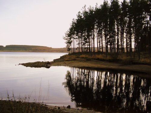
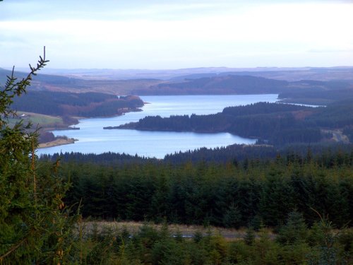
This small historic village lies at the northernmost edge of Kielder Water, it takes its name from the Kielder Burn the stream that links with the Deadwater Burn to form the North Tyne River...

A view of Hexham in Northumberland. Fog over the River Tyne.

Hexham (35 Pictures) a Historic Market Town in the county of Northumberland

(14.7 miles, 23.6 km, direction SE of Charlton)

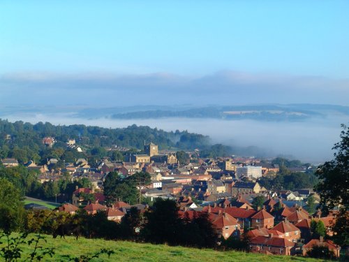
Historic market town where for centuries the sheep and cattle farmers of Northumberland gathered for the Tuesday market beside Hexham Abbey...

The Church at Whitfield, Northumberland

Whitfield (2 Pictures) a Picturesque Village in the county of Northumberland

(16.8 miles, 27.0 km, direction S of Charlton)

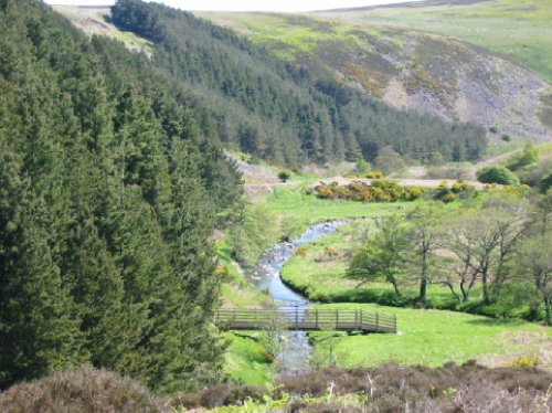
This is a picturesque village lying amongst sprawling open countryside criss crossed by dancing streams, tributaries of the River West Allen...

All towns & villages in Northumberland
Complete A to Z of towns & villages in England

Nearby attractions..

A picture of Kielder Water

Kielder Water (27 Pictures)

(8.1 miles, 13.0 km, direction W)

..

A picture of Redesdale

Redesdale (1 Pictures)

(8.8 miles, 14.2 km, direction N)

..

A Walk in the Cheviots, Northumberland

Northumberland National Park (63 Pictures)

(8.9 miles, 14.3 km, direction N)

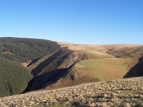
The Northumberland National Park is surely Northumberland's special blessing. It is an area of wild, desolate moorland and dark,.....

Ravens Crag and the Allerhope Burn, The Cheviot Hills, Northumberland.

The Cheviot Hills (12 Pictures)

(8.9 miles, 14.3 km, direction N)

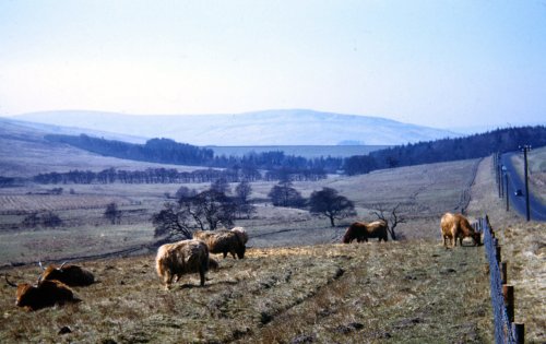
The clearly defined peaks of the glorious Cheviot Hills dominate the western side of the border territory as it juts boldly out.....

Mithraeum temple near Brocolitia roman fort Milecastle

Carrawburgh Roman Fort (Brocolitia) (2 Pictures)

(9.4 miles, 15.1 km, direction S)

..

Hadrian's Wall

Hadrian's Wall & Housesteads Fort (36 Pictures)

(10.2 miles, 16.4 km, direction S)

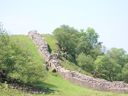
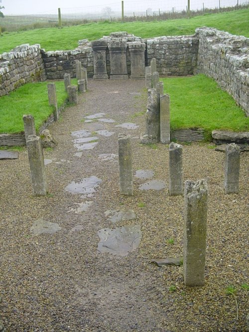
Wild and evocative remains of the Roman Empire's most northerly defences, with panoramic views. Roman barracks and some of the.....

The River North Tyne

Chesters Roman Fort (Cilvrnvm) (71 Pictures)

(10.9 miles, 17.5 km, direction SE)

..


All attractions in Charlton
All attractions in Northumberland
Complete A to Z of attractions in England