Please login or click here to join.
Forgot Password? Click Here to reset pasword
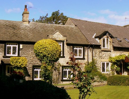
If you would like to add a description of Moorfield, please use our Moorfield forum here. To upload your Moorfield photography and create your very own 'Pictures of England Gallery', click here or here to join the site and become part of the Pictures of England community, or simply see below for nearby recommended towns, attractions, and Moorfield accommodation.
Marple has many splendid canal features from the past, these include a flight of 16 locks and a three arched aqueduct which takes the Peak Forest canal over the River Goyt...
Chapel is a well preserved, picturesque place. It has a lovely old church dating back to the 14th-century which stands on the spot of an earlier church built by foresters a century or so before...
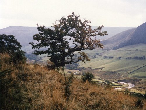
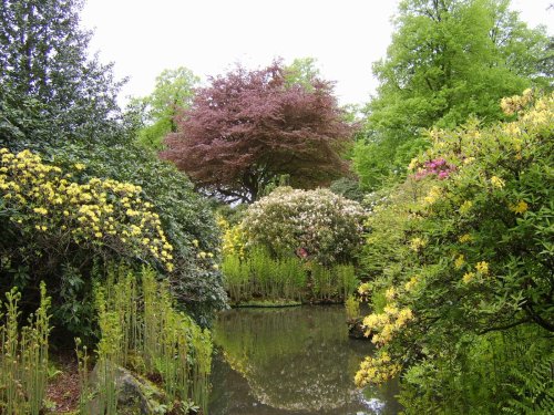
An attractive small town in the High Peak district of Derbyshire...
Audenshaw is a suburb of Greater Manchester. It is probably best known for its reservoirs and the busy waters of the Ashton canal, beside which visitors can see clusters of delightful canal-side properties...
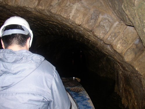
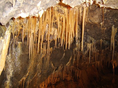
Castleton is one of the Jewels of the Peak District. It is a famous centre for caverns where you will find four of the countries most famous show caves. It is also the home of.....
Alport Castles refers to a striking natural feature in the Peak District National Park, Derbyshire, England. Despite its name,.....
..
..
Set amidst the grandeur of the high Peaks amongst softly rolling countryside of undisputed splendour is the magnificent house.....
..
..
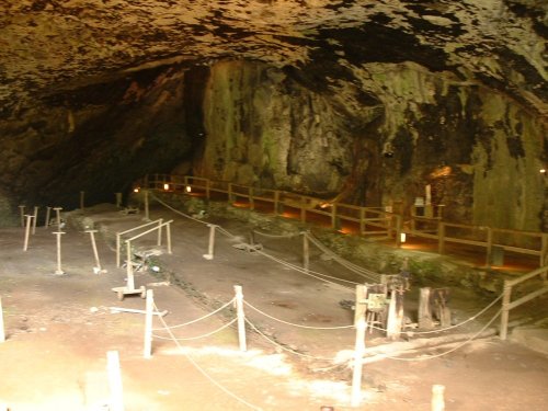
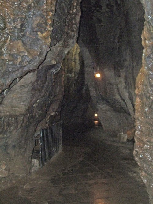
Peak Cavern is one of the finest of the many underground caverns of this area. It lies beneath Peveril Castle at the centre of.....
Follow PicturesOfEngland.com on social media and help share the beauty of England....
