Please login or click here to join.
Forgot Password? Click Here to reset pasword
If you would like to add a description of Temple Sowerby, please use our Temple Sowerby forum here. To upload your Temple Sowerby photography and create your very own 'Pictures of England Gallery', click here or here to join the site and become part of the Pictures of England community, or simply see below for nearby recommended towns, attractions, and Temple Sowerby accommodation.
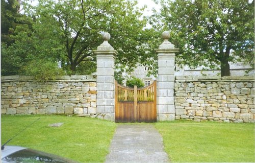
Hunter Davies (famous author, journalist and broadcaster) described the village as "... one of the most beautiful villages in the country"...
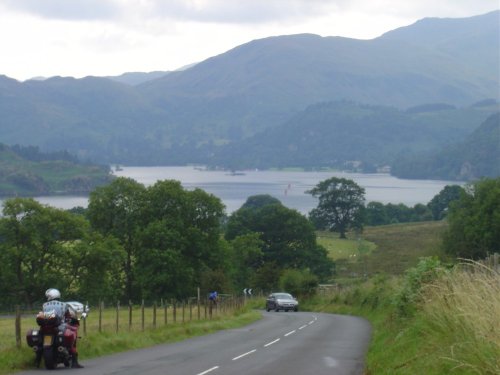
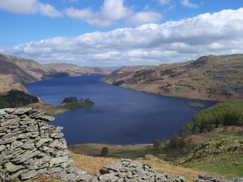
Ullswater is considered by many to be the lake districts most beautiful lake. It is 7.5 miles of pure beauty, and as you approach it from any direction you will see why. Ullswater.....
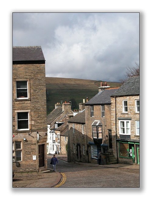
At a height of over 1,000 feet in the far reaches of the Pennines, this is one of England's highest market towns. Alston is a lively bustling place of steeply rising narrow.....
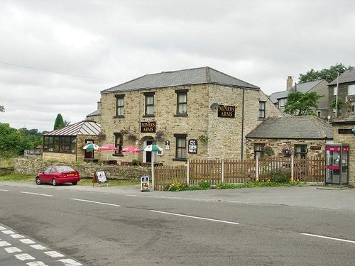
Nestling beside the sparkling River Nent, Nenthead lies on Alston Moor, in a lonely remote North Pennine Area of Outstanding Natural Beauty, between the pleasant market town of Alston and the Killhope lead mining museum...
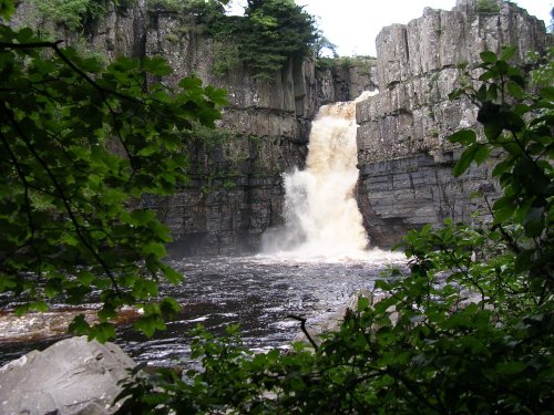
It's landscape, possessed of a wild untamed beauty, highlighted by the meandering River Tees, has a few ancient farmhouses and old stone cottages...
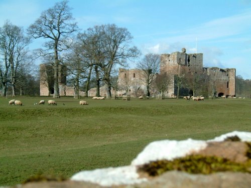
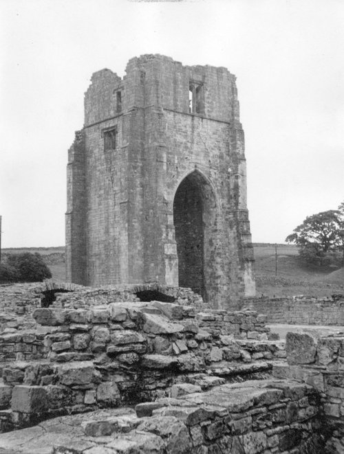
Coming Soon. Can you tell us about Brougham Castle? broughamcastle@picturesofengland.com..
..
..
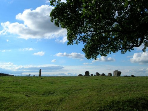
The 12 foot high mass of sandstone known as Long Meg can be found close to a circle of smaller "daughter" stones in a spectacular.....
..
..
..
Follow PicturesOfEngland.com on social media and help share the beauty of England....