Please login or click here to join.
Forgot Password? Click Here to reset pasword
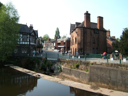
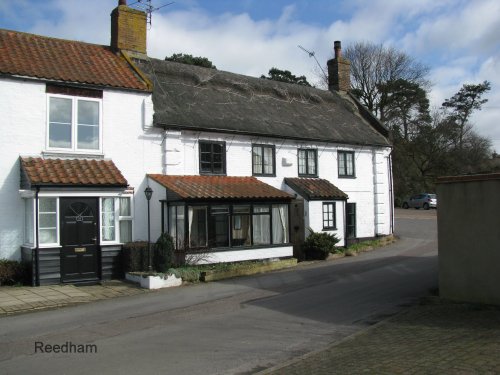
The picturesque village of Lymm is situated in the the county of Cheshire, England, and was mentioned in the Doomsday book of 1086. It's name is of Celtic origins and means "Place.....
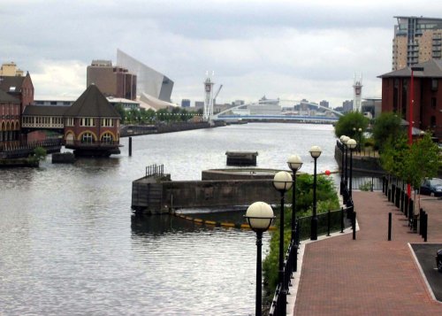
The City of Salford lies at the heart of the Metropolis known as Greater Manchester in an area where cotton was once king and its mill workers were portrayed for posterity by acclaimed 20th-century artist L.S.Lowry...

A thriving truly cosmopolitan city with a great mixture of new and old. The capital of the north..
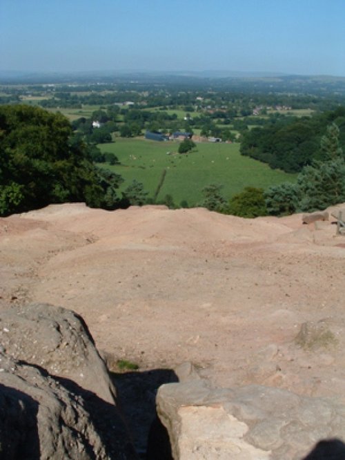
Alderley Edge is a popular tourist spot in the county of Cheshire, consisting of a prominent 'edge' or sandstone ridge which is popular with walkers and offers stunning views. You.....
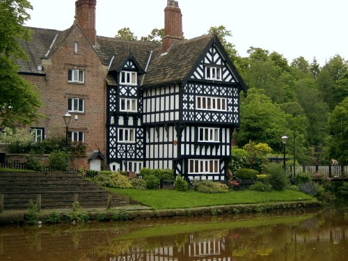
Just 20 minutes car journey away from the center of Manchester is the historic town of Worsley, which is best known for its scenic walks along the historic Bridgewater canal......
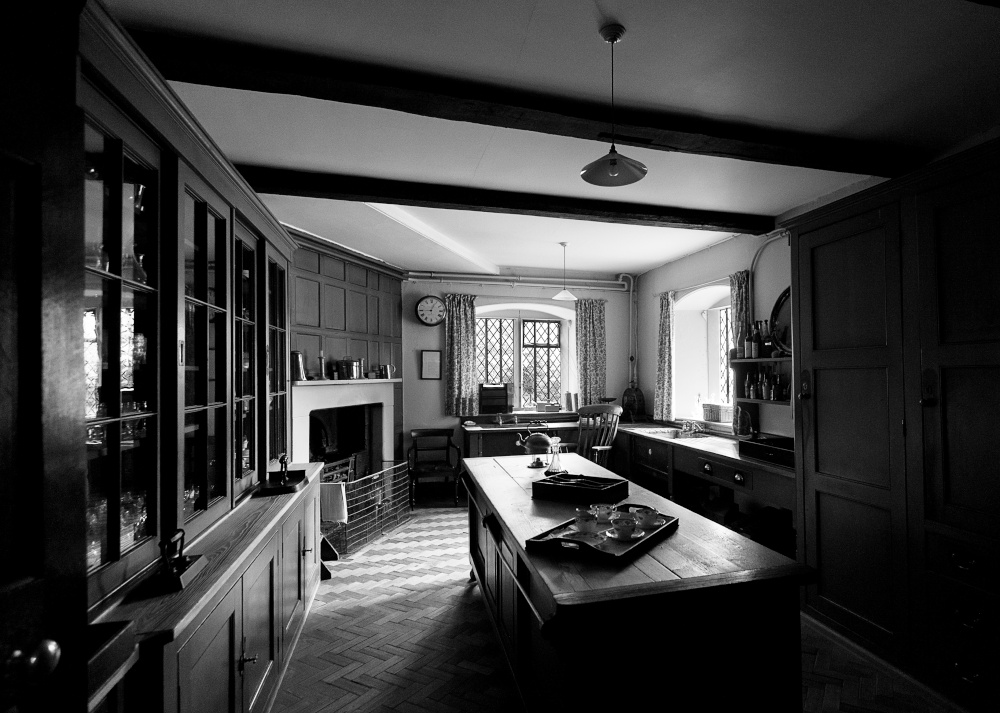
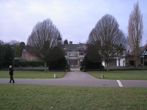
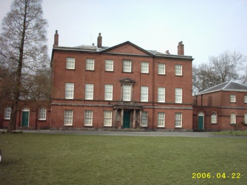
This handsome 18th century red brick house was built around an Elizabethan moated manor house, built by the first George Booth. .....
Wythenshawe Park is one of Manchester Leisure's regional parks. The park is set in 109.27 hectares (270 acres) of green area and.....
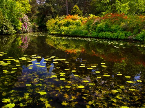
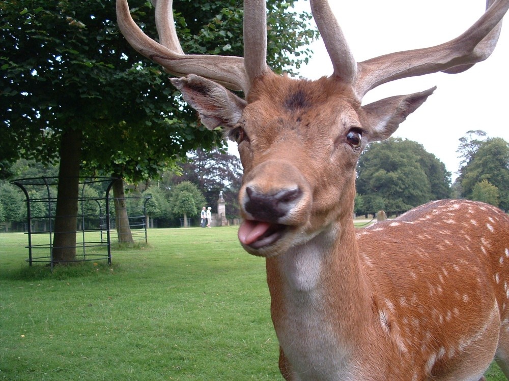
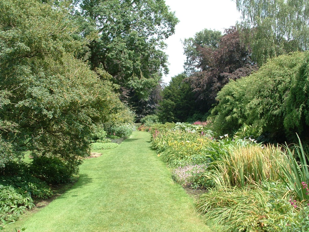
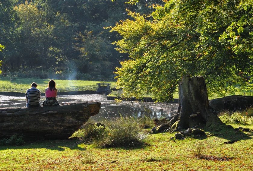
A day at Tatton Park has much to offer, its two historic houses, the Mansion and Tudor Old Hall, are set in 1000 acres of.....

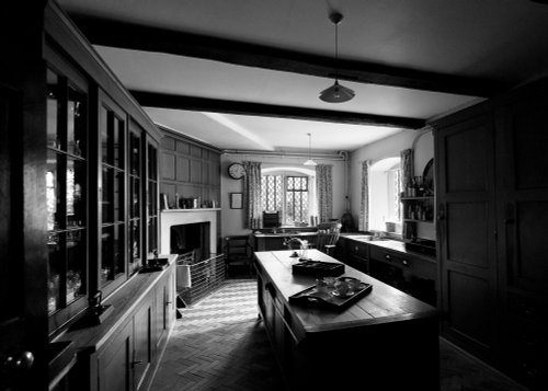
At restored Quarry Mill the air hangs heavy with the atmosphere of the Victorian people of Wilmslow who spent their days toiling.....
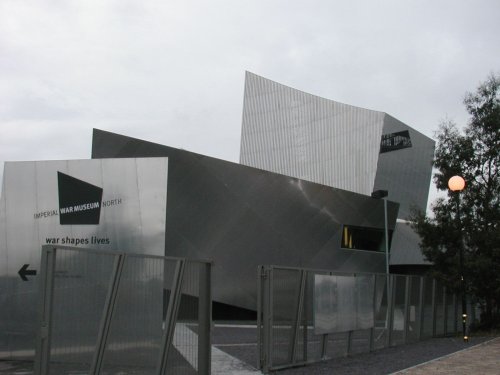
Opened at The Quays in Trafford Park, Manchester in July 2002 and created to give northern audiences access to the national.....
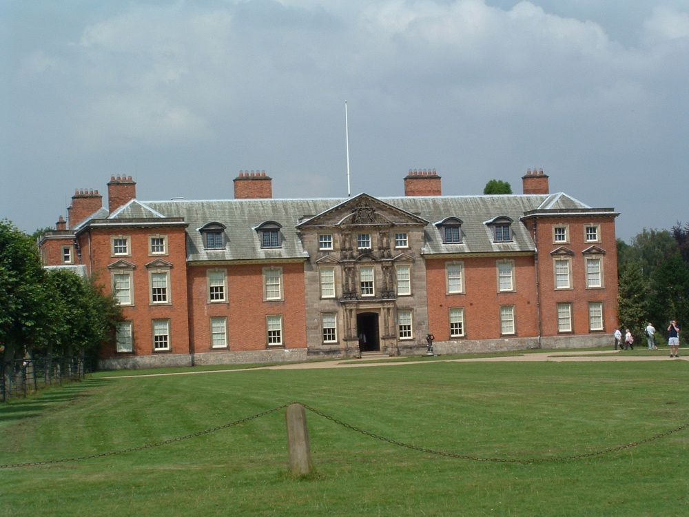
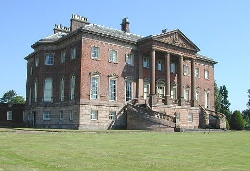
This is a pleasant russet brick house built by Timothy Lightoler in the Mid 18th-century. The interior contains one of the most.....
..
Follow PicturesOfEngland.com on social media and help share the beauty of England....