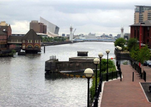
Opened at The Quays in Trafford Park, Manchester in July 2002 and created to give northern audiences access to the national collections, IWM North focuses on how war shapes lives. Designed by world-renowned architect Daniel Libeskind.
in the county of Greater Manchester
(1.3 miles, 2.1 km, direction N)The City of Salford lies at the heart of the Metropolis known as Greater Manchester in an area where cotton was once king and its mill workers were portrayed for posterity by acclaimed 20th-century artist L.S.Lowry...
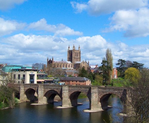
a Historic City in the county of Greater Manchester
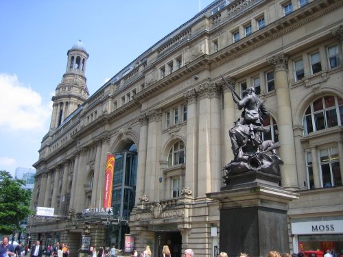
(2.2 miles, 3.5 km, direction E)A thriving truly cosmopolitan city with a great mixture of new and old. The capital of the north..
a Picturesque Village in the county of Greater Manchester
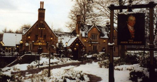
(4.7 miles, 7.5 km, direction NW)Just 20 minutes car journey away from the center of Manchester is the historic town of Worsley, which is best known for its scenic walks along the historic Bridgewater canal......
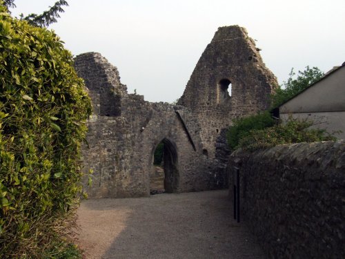
a Historic Market Town in the county of Greater Manchester
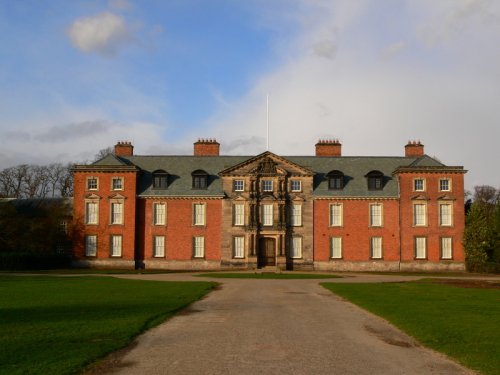
(5.9 miles, 9.5 km, direction S)First developed as a quiet hamlet on the edge of the sweeping Cheshire Plain, where life went quietly on...

in the county of Greater Manchester
(7.1 miles, 11.5 km, direction E)Audenshaw is a suburb of Greater Manchester. It is probably best known for its reservoirs and the busy waters of the Ashton canal, beside which visitors can see clusters of delightful canal-side properties...
All towns in Greater Manchester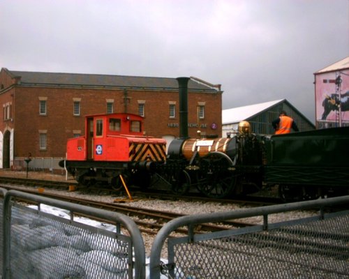
Situated in the oldest passenger railway buildings in the world, the Museum tells the story of the history, science and industry.....
Concert Venue...
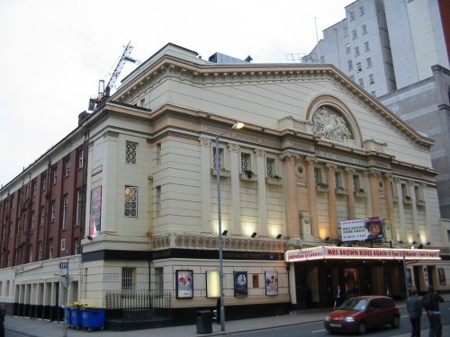
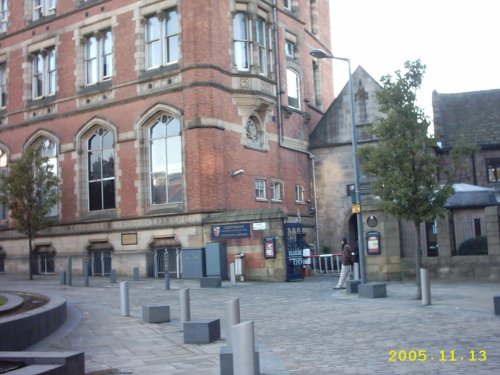
Manchester's leading producing theatre company, based in the historic splendour of the Victorian cotton exchange building...

Manchester Art Gallery houses one of the UK's finest art collections in spectacular surroundings. The Gallery has recently.....
Chetham's Library was founded in 1653 and is the oldest public library in the English-speaking world...
Follow PicturesOfEngland.com on social media and help share the beauty of England....