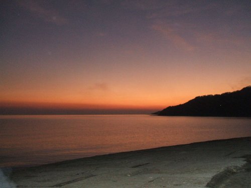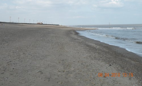
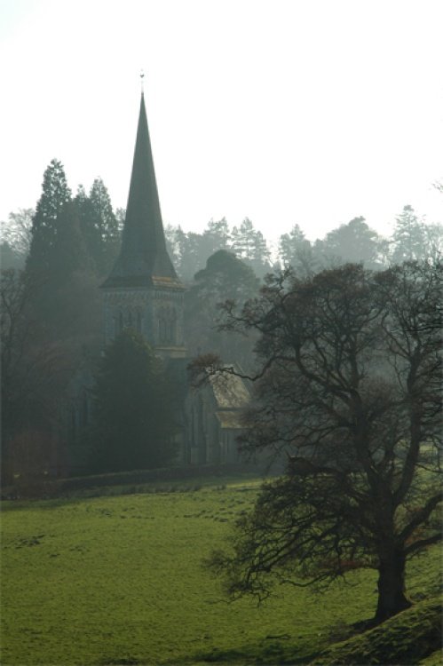
Nestling beside the sparkling River Nent, Nenthead lies on Alston Moor, in a lonely remote North Pennine Area of Outstanding Natural Beauty, between the pleasant market town of Alston and the Killhope lead mining museum...
This is a picturesque village lying amongst sprawling open countryside criss crossed by dancing streams, tributaries of the River West Allen...
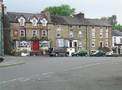
This picturesque Northumberland village enjoys a lovely location in the fine hill and dale countryside of the beautiful East Allen Valley...
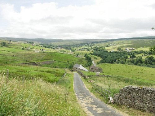
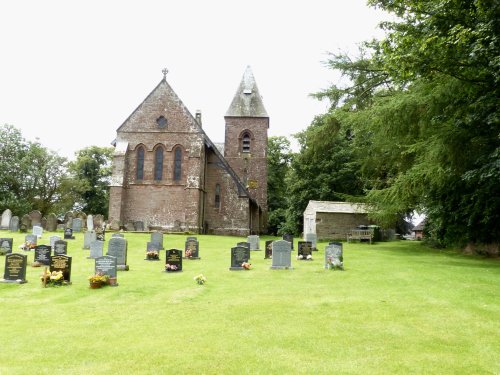
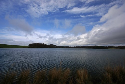
It's landscape, possessed of a wild untamed beauty, highlighted by the meandering River Tees, has a few ancient farmhouses and old stone cottages...
One of the loveliest features of Brampton is its octagonal Moot Hall, built by the Earl of Lancaster in 1817...
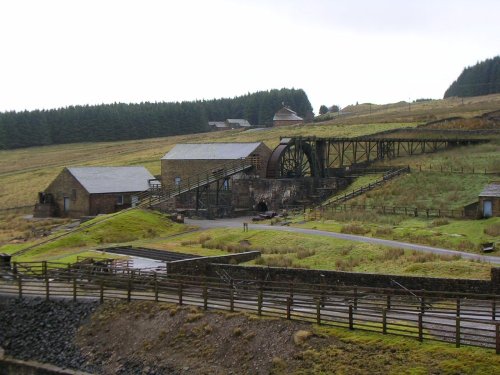
Killhope Lead Mining Museum keeps alive the counties lead mining traditions. This is a fully restored site of a working mine.....
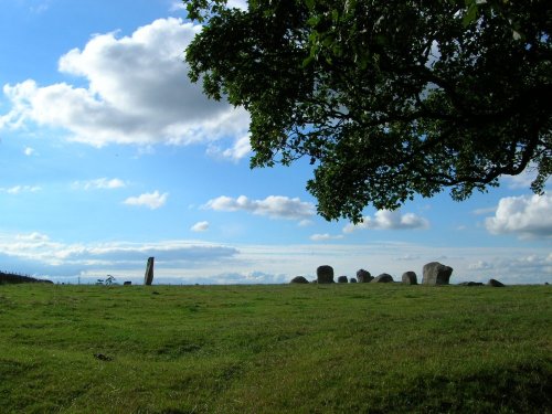
The 12 foot high mass of sandstone known as Long Meg can be found close to a circle of smaller "daughter" stones in a spectacular.....
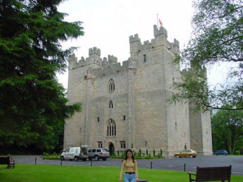
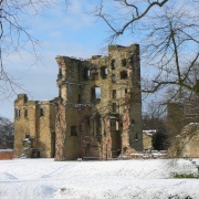
Built in 1350, during the reign of Edward III, the castle has retained its architectural integrity and is regarded as one of the.....
This lovely scenic valley lies between the town of Bishop Auckland, seat of princes of the church and the charming market town of.....
This lovely country park occupies a magical landscape close to the historic market town of Brampton. The icy waters forming the.....
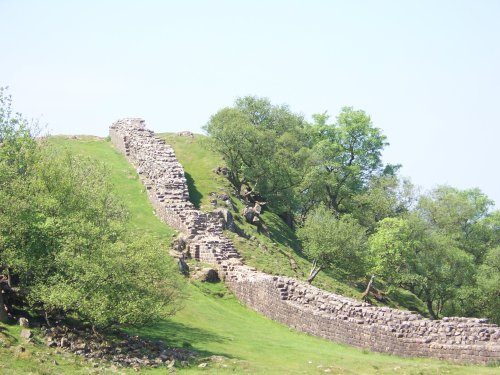
Wild and evocative remains of the Roman Empire's most northerly defences, with panoramic views. Roman barracks and some of the.....
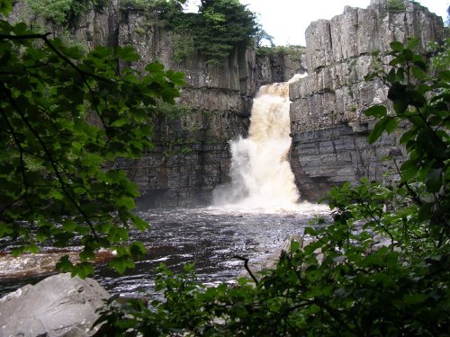
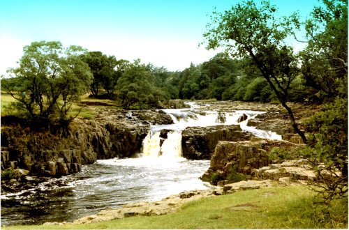
This is the Tees most spectacular offering, it is also England's highest waterfall. The best time to see High Force is just.....
Follow PicturesOfEngland.com on social media and help share the beauty of England....