Please login or click here to join.
Forgot Password? Click Here to reset pasword
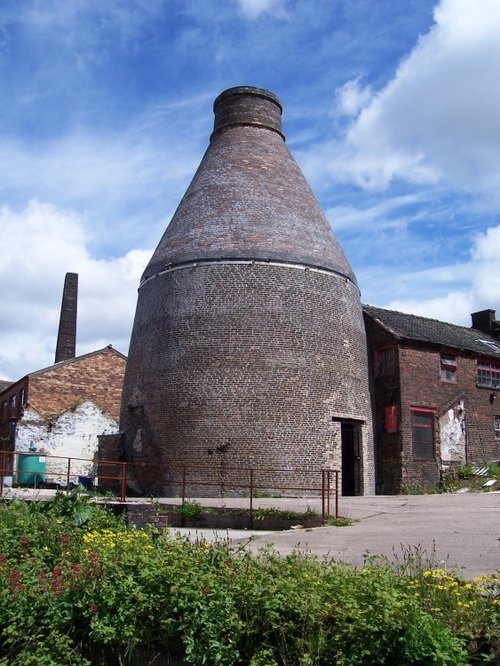
Town known best as "the potteries" but in reality Stoke-on-Trent is a 1906 amalgamation of six towns, each of which still maintain their own individuality and character...
Norton-in-the-Moors is exactly what its name implies - it is an old village set on the side of a windswept hill with far reaching views over rolling countryside towards the Peak District...
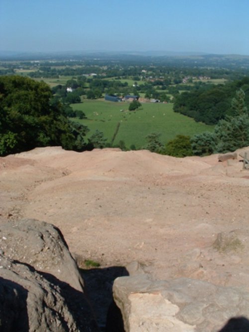
The sheer scale of the height of this village with the quaint sounding name has made it famous, for it is believed that on a clear day the hill is visible to no less than five counties...
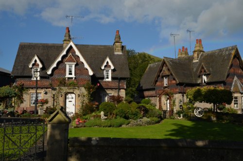
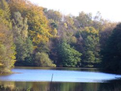
A pretty village with a delightful cluster of cottages and houses with lovely gardens, bordered by woods at the south end of the picturesque Rudyard Reservoir...
Attractively situated on the banks of the Caldon Canal in the beautiful Churnet Valley. Froghall offers visitors the opportunity to experience a diverse range of landscapes including fine watermeadows with a wealth of wildlife...
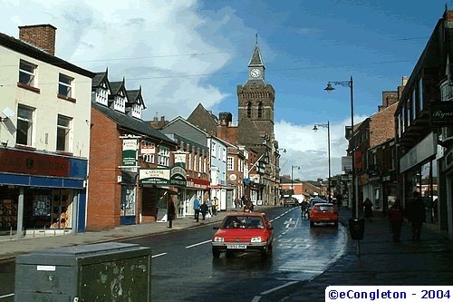
This lively market town stands on a bend of the River Dane, it quite possibly takes its name from the Celtic word "congle" which in English means "a bend"...

Crewe has always been associated with its great railway junction, and it is from this point in the "hey-day" of rail travel that Crew began to prosper...
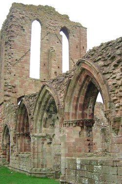
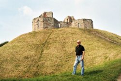
The village has many elegant stone buildings, and there is a circular lock-up and the romantic ruins of a 12th-century castle...
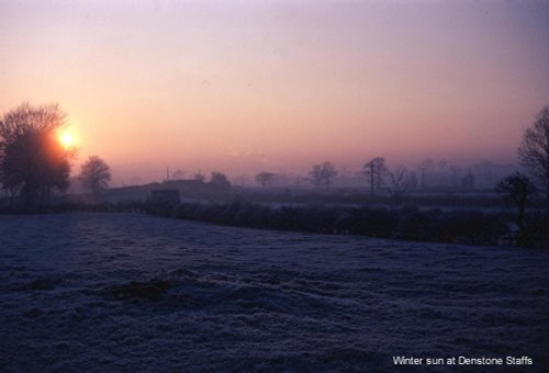
Denstone is a peaceful village set in the midst of rural Staffordshire countryside, where farm meadows are watered from a myriad of sparkling rivers flowing down from the Peak District National Park...
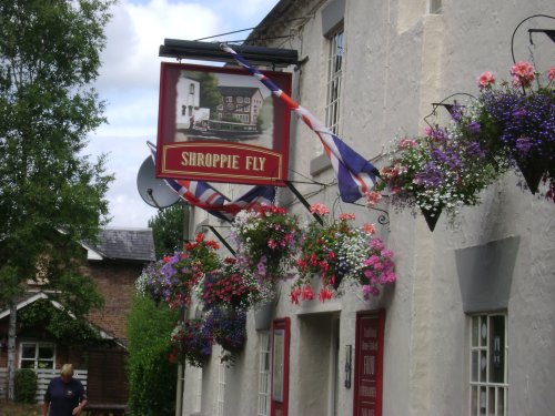
A walk around the village reveals pleasant black and white timber framed properties, delightful cottages, and buildings of the Victorian era when the canal system and railways came to the area...
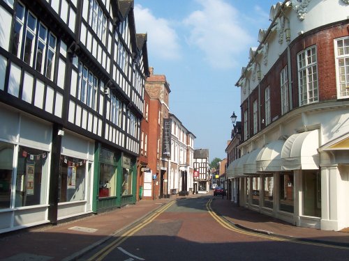
Today, Nantwich is a busy bustling place of business and commerce that still manages to retain its unique 'Elizabethan' flavour...
Market Drayton is famous as the home of Gingerbread, and as the birthplace of Robert Clive - Clive of India, he was educated at the Grammar School, founded in 1558, and his desk bearing his carved initials is still preserved...
Set in a landscape of contrasts with constantly changing scenery from the Royal hunting forests of Cannock Chase to the breweries of Burton, it is pleasurable to come across the.....
A pretty and popular village which includes a wonderful park which is part of Ilam Hall. Enjoy wonderful walks through the park and the lovely river Manifold. The village is set.....
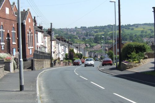
A small Market town in Cheshire..
Milldale is a glorious stone village lying in scenic countryside towards the southern fringes of the Peak District National Park...
Hartington is a small village centred around a medieval market place, with attractive 18th and 19th century buildings...
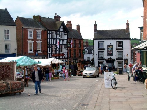
Ashbourne is a delightful market town located in the Derbyshire Dales, in the central part of England...
Alderley Edge is a popular tourist spot in the county of Cheshire, consisting of a prominent 'edge' or sandstone ridge which is popular with walkers and offers stunning views. You.....
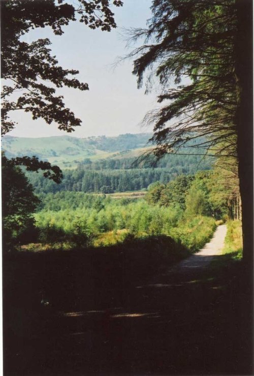
This barely spoilt town offers an exciting opportunity to enjoy a town crammed with beautiful buildings whilst exploring the high upland regions of England's glorious Peak District National Park...
This is the foremost museum for fine porcelain produced over several centuries in the famous potteries of Staffordshire. Here,.....
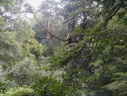
This is an outstanding tourist attraction for children and adults of all ages. Here, in a vast wilderness of trees 140 Barbary.....
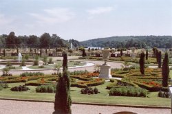
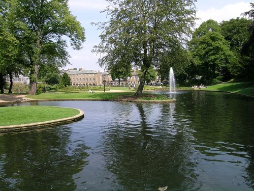
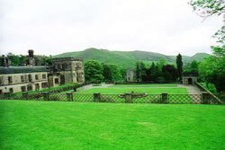
These pictures are of the garden and lake of Trentham Gardens, Stoke-on-Trent, Staffordshire. This was the former home of the.....
..
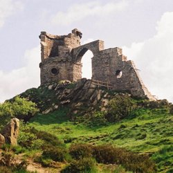
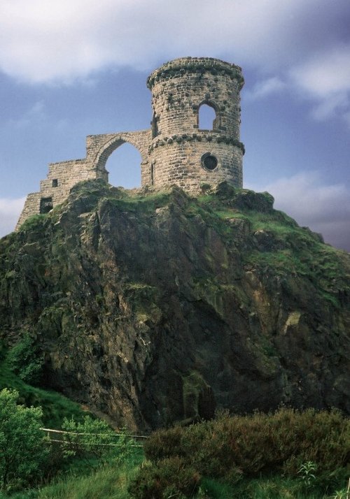
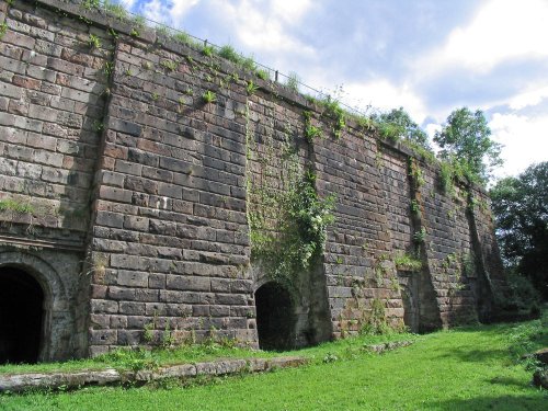
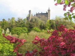
Mow Cop Castle is a Grade 2 listed building and dates back to 1754 when Randle Wilbraham of nearby Rode Hall built it as a.....
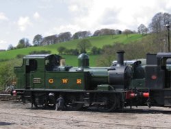
The Churnet Valley Railway is a preserved standard gauge heritage railway to the east of Stoke-on-Trent in Staffordshire,.....
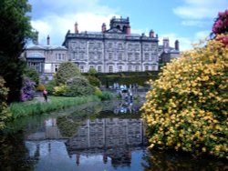
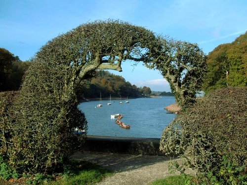
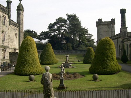
This remarkable garden surrounds a grand house with a history of fluctuating fortunes. The gardens were originally the creation.....
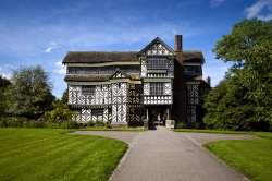
Little Moreton Hall is without doubt the finest example of timber-framed architecture in England. The building overflows with.....
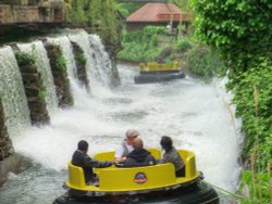
Alton Towers is the number one theme park in England. Dating back to the Victorian times, Alton Towers closed during the outbreak.....
..
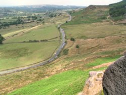
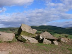
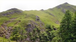
The spectacular Roaches are situated at the end of the Pennine Way, these together with oddly named Hen Cloud contrive between.....
..
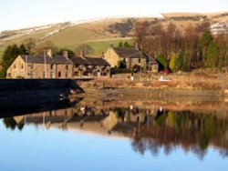
Dating form the 18th Century and standing in beautiful surroundings, on the edge of Macclesfield Forest Reservoir, this stone.....

Stafford's handsome Shire Hall Gallery with its impressive porticoed frontage, served for a time as the local Crown Court. .....
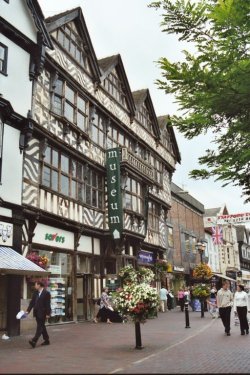
Dominating Stafford's Greengate Street, is an impressive Elizabethan building that has stood at the centre of the town for over.....
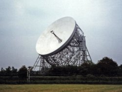
For over 40 years the giant Lovell Telescope at Jodrell Bank has been a familiar feature of the Cheshire landscape and an.....
..
Tegg's Nose Country Park comprises mainly of wild untamed countryside high above Macclesfield. It offers nature lovers many.....
Running along both banks of the river Manifold, this is an area of beautiful open park and woodland with spectacular views.....
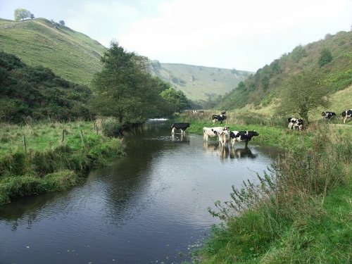
The River Dove flows through one of England's loveliest valleys. Though little more than a mile long, Dove Dale shows a variety.....
Follow PicturesOfEngland.com on social media and help share the beauty of England....