Please login or click here to join.
Forgot Password? Click Here to reset pasword
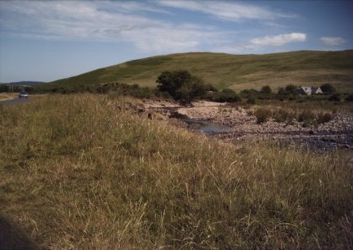
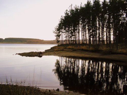
If you would like to add a description of Blindburn, please use our Blindburn forum here. To upload your Blindburn photography and create your very own 'Pictures of England Gallery', click here or here to join the site and become part of the Pictures of England community, or simply see below for nearby recommended towns, attractions, and Blindburn accommodation.
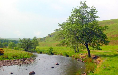
Ingram is a small picturesque village on the Breamish river in the Cheviots on the edge of the Northumberland National Park, and as part of Northumberland Dark Sky Park, it has.....
Today, this appealing village has become a tourist destination to which travellers and holiday makers are drawn for the dramatic landscape and spectacular views...
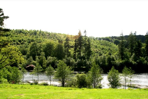
This pretty village straggles the banks of the sparkling River Coquet. It is a lively invigorating place, lying amidst the stunning countryside of Simonside, a 1,409 foot high peak...
Here in these high upland regions you feel immediately relaxed, at ease and although Wooler bustles with life, it has a timeless quality where you feel a world away from civilisation...
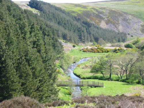
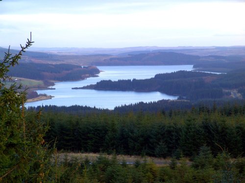
This small historic village lies at the northernmost edge of Kielder Water, it takes its name from the Kielder Burn the stream that links with the Deadwater Burn to form the North Tyne River...
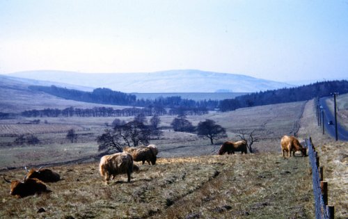
The clearly defined peaks of the glorious Cheviot Hills dominate the western side of the border territory as it juts boldly out.....
..
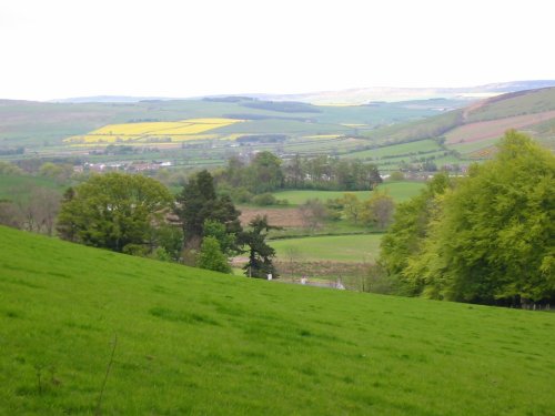
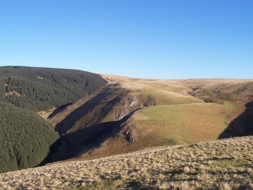
The Northumberland National Park is surely Northumberland's special blessing. It is an area of wild, desolate moorland and dark,.....
See also: The Cheviot Hills
The.....
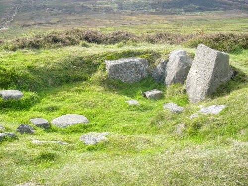
Ancient cup-and-ring marked outcrop and Iron Age hillfort in Northumberland National Park..
It would be hard to find a more pleasant and peaceful place than Rothbury. This enchanting little market town sits splendidly.....
..
Follow PicturesOfEngland.com on social media and help share the beauty of England....
