Please login or click here to join.
Forgot Password? Click Here to reset pasword
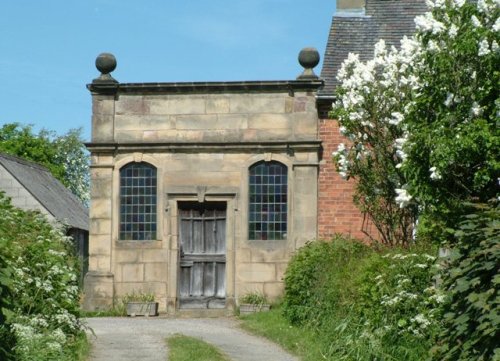
If you would like to add a description of Parwich, please use our Parwich forum here. To upload your Parwich photography and create your very own 'Pictures of England Gallery', click here or here to join the site and become part of the Pictures of England community, or simply see below for nearby recommended towns, attractions, and Parwich accommodation.
Ashbourne is a delightful market town located in the Derbyshire Dales, in the central part of England...
Hartington is a small village centred around a medieval market place, with attractive 18th and 19th century buildings...
Matlock Bath lies amongst some of the most beautiful river-valley country in England...
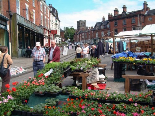
Bakewell is the largest town in the Peak District National Park. It is an old town full of glowing stone houses and buildings that lend an air of ambience and overall warmth...
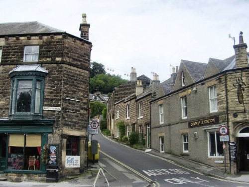
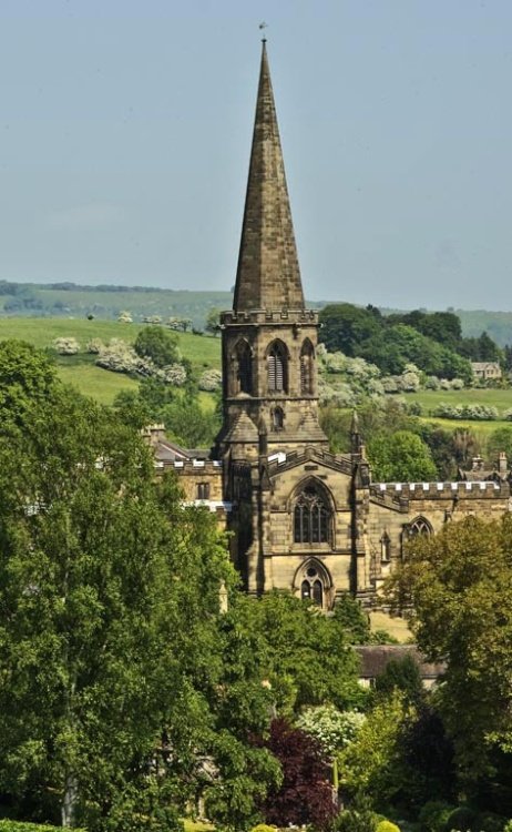
This is a popular Derbyshire village with a church dating back to the Doomsday Book...
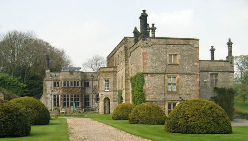
Dating from Jacobean times, Tissington Hall has been lived in by the FitzHerbert family for 500 years and is set in the beautiful.....
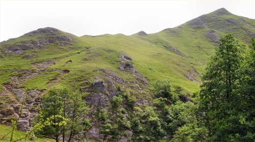
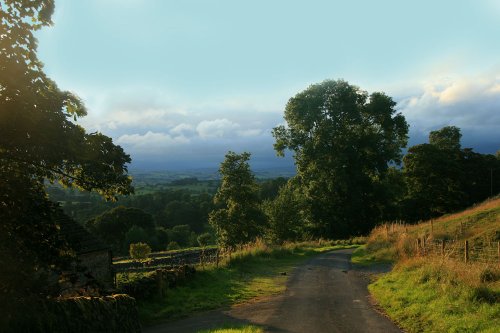
The River Dove flows through one of England's loveliest valleys. Though little more than a mile long, Dove Dale shows a variety.....
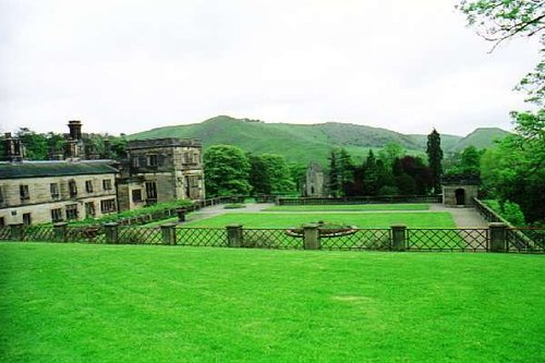
Running along both banks of the river Manifold, this is an area of beautiful open park and woodland with spectacular views.....
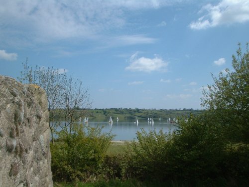
Carsington Water is situated close to the village of Carsington in the lower regions of Derbyshire. Carsington Water is a large.....
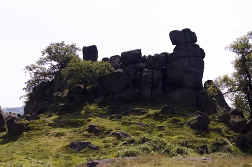
Robin Hood's Stride is a rocky outcrop overlooking the pretty village of Elton, in Derbyshire. By tradition the sole province of.....
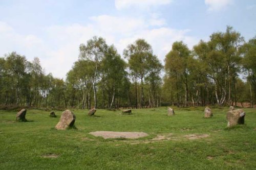
This wild eyrie stretch of moorland has an invigorating, yet gloomy feel to it and looking around at the barrows left from the.....
..
Follow PicturesOfEngland.com on social media and help share the beauty of England....
