Please login or click here to join.
Forgot Password? Click Here to reset pasword
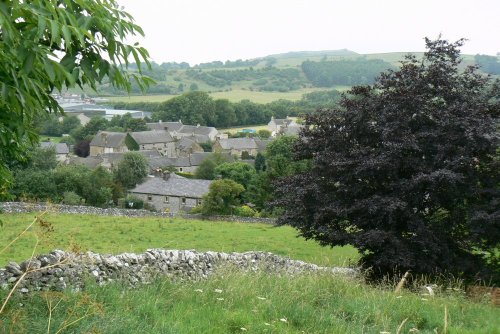
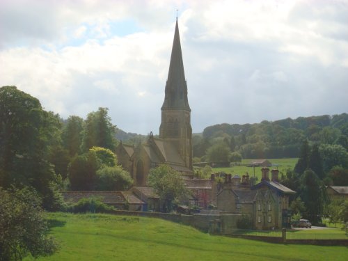
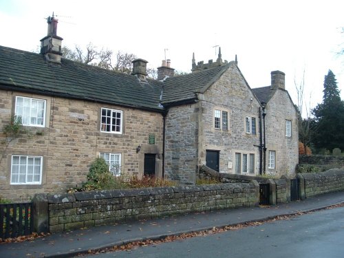
Hartington is a small village centred around a medieval market place, with attractive 18th and 19th century buildings...
This barely spoilt town offers an exciting opportunity to enjoy a town crammed with beautiful buildings whilst exploring the high upland regions of England's glorious Peak District National Park...
Set amidst the dramatic scenery of the glorious Peak District National Park, Cressbrook offers visitors breathtaking views from the road winding through this deep river valley. .....
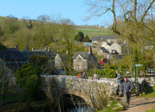
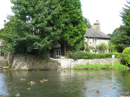
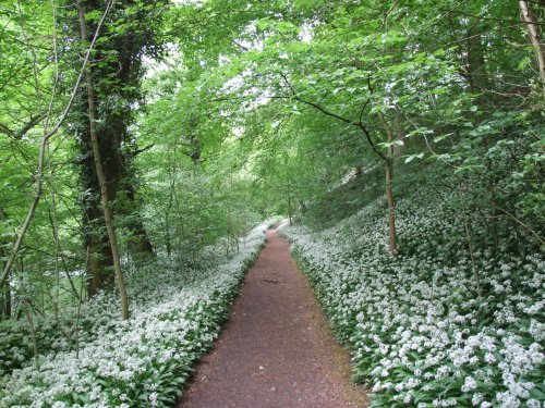
Milldale is a glorious stone village lying in scenic countryside towards the southern fringes of the Peak District National Park...
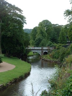
The village was a centre for candle making, noted for lead mining and made famous by the discovery of Ashford marble which was first quarried by Henry Watson in 1748...
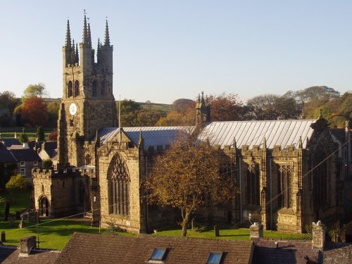
Tideswell is famous for its superb, large church, known as the "Cathedral of the Peak"...
Bakewell is the largest town in the Peak District National Park. It is an old town full of glowing stone houses and buildings that lend an air of ambience and overall warmth...

This unspoilt small peakland village stands 950 feet above sea level offering stunning views of the peakland countryside. It is a very tradional village, which had its own fire.....
Today, this graceful village with its sweeping main street and quiet little alleyways is a tourist destination of character and charm...
A pretty and popular village which includes a wonderful park which is part of Ilam Hall. Enjoy wonderful walks through the park and the lovely river Manifold. The village is set.....
It was the 6th Duke of Devonshire who looked out of his window one day from Chatsworth House, and realised that the magnificent view of the park in front of him was blocked by a.....
Setting its chilling history to one side, this is a village with a lot to offer. It is hidden away in a matchless location above the limestone peaks of Middleton Dale in the Peak District...
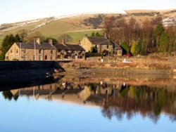
A pretty village with a delightful cluster of cottages and houses with lovely gardens, bordered by woods at the south end of the picturesque Rudyard Reservoir...
Chapel is a well preserved, picturesque place. It has a lovely old church dating back to the 14th-century which stands on the spot of an earlier church built by foresters a century or so before...
Set amidst the stark loneliness of the High Peak the village of Baslow is surrounded by some of the finest historic properties to be found in Derbyshire...
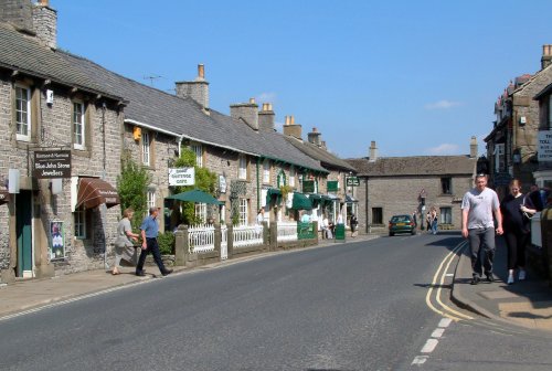
An attractive small town in the High Peak district of Derbyshire...
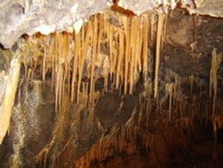
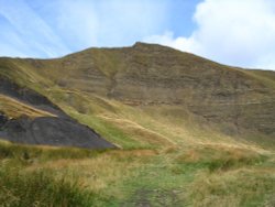
Castleton is one of the Jewels of the Peak District. It is a famous centre for caverns where you will find four of the countries most famous show caves. It is also the home of.....
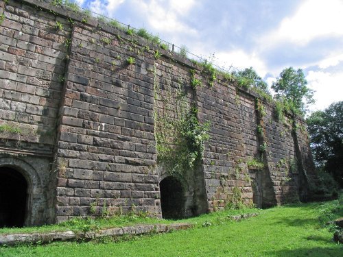
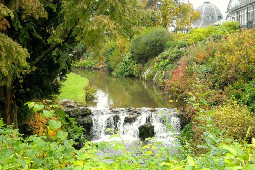
Attractively situated on the banks of the Caldon Canal in the beautiful Churnet Valley. Froghall offers visitors the opportunity to experience a diverse range of landscapes including fine watermeadows with a wealth of wildlife...
..
A small Market town in Cheshire..
This is one of the Peak Districts hidden gems, not only is the scenery highly picturesque but the region is full of interesting.....
..
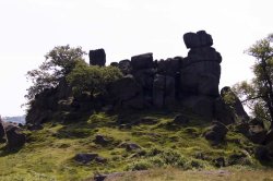
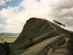
The spectacular Roaches are situated at the end of the Pennine Way, these together with oddly named Hen Cloud contrive between.....
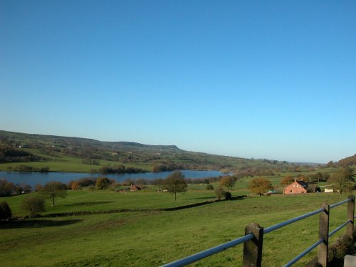
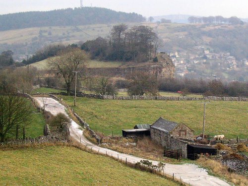
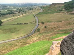
Goyt's Moss lies in the wild and beautiful Goyt Valley, its steep slopes sweep down into the tranquil waters of the Fernlee.....
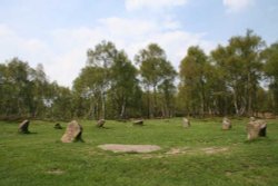
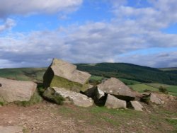
Robin Hood's Stride is a rocky outcrop overlooking the pretty village of Elton, in Derbyshire. By tradition the sole province of.....
The River Dove flows through one of England's loveliest valleys. Though little more than a mile long, Dove Dale shows a variety.....
Perched in a picturesque position above the Derbyshire River Wye, the grey stone walls of Haddon House tempt invitingly, and you.....
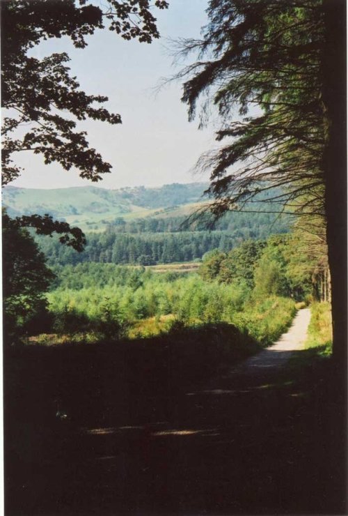
Running along both banks of the river Manifold, this is an area of beautiful open park and woodland with spectacular views.....
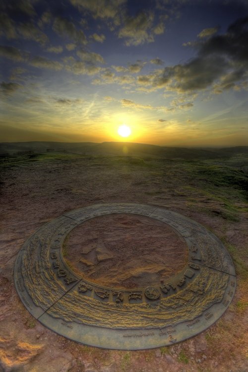
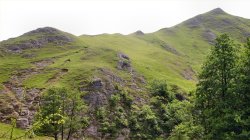
This wild eyrie stretch of moorland has an invigorating, yet gloomy feel to it and looking around at the barrows left from the.....
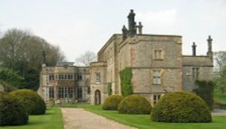
Dating from Jacobean times, Tissington Hall has been lived in by the FitzHerbert family for 500 years and is set in the beautiful.....
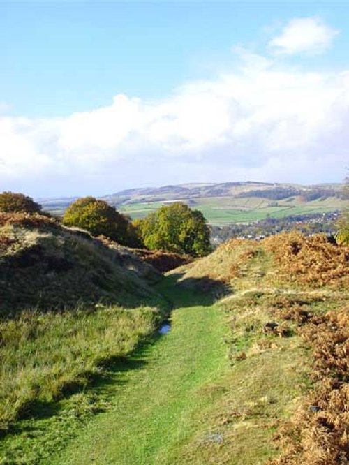
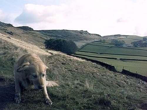
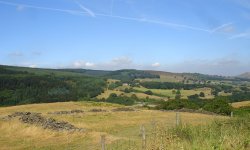
The varied and seductive scenery of the Peak District National Park rivals the scenic beauty of any where in the land. It is an.....
Dating form the 18th Century and standing in beautiful surroundings, on the edge of Macclesfield Forest Reservoir, this stone.....
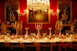
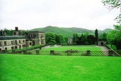
The magnificent Classical mansion that is Chatsworth House, is one of the most celebrated Historic Houses in England. Built in.....
Tegg's Nose Country Park comprises mainly of wild untamed countryside high above Macclesfield. It offers nature lovers many.....
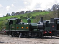
The Churnet Valley Railway is a preserved standard gauge heritage railway to the east of Stoke-on-Trent in Staffordshire,.....
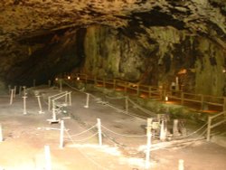
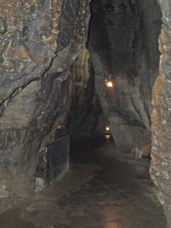
Peak Cavern is one of the finest of the many underground caverns of this area. It lies beneath Peveril Castle at the centre of.....
..
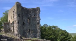
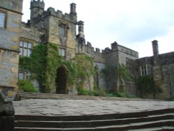
Built to be impregnable, the ruins of Peveril Castle stand on a steep ridge with dramatic views in all directions, giving the.....
..
..
Follow PicturesOfEngland.com on social media and help share the beauty of England....