Please login or click here to join.
Forgot Password? Click Here to reset pasword
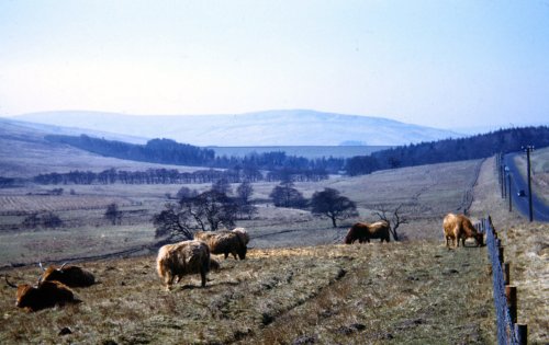
If you would like to add a description of Kershopefoot, please use our Kershopefoot forum here. To upload your Kershopefoot photography and create your very own 'Pictures of England Gallery', click here or here to join the site and become part of the Pictures of England community, or simply see below for nearby recommended towns, attractions, and Kershopefoot accommodation.
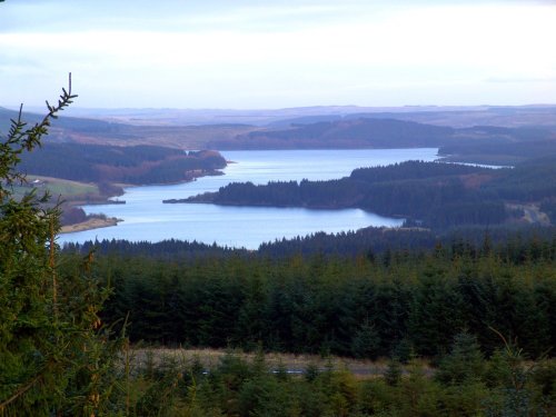
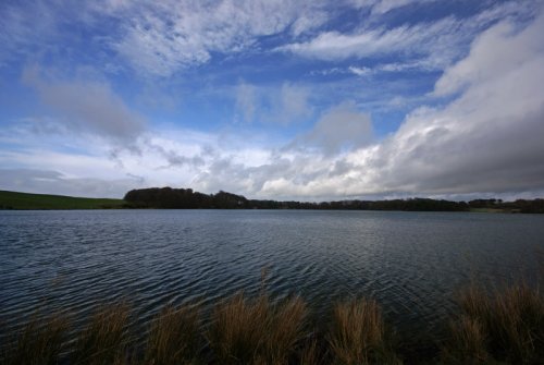
This small historic village lies at the northernmost edge of Kielder Water, it takes its name from the Kielder Burn the stream that links with the Deadwater Burn to form the North Tyne River...
One of the loveliest features of Brampton is its octagonal Moot Hall, built by the Earl of Lancaster in 1817...
For over 1700 years this town occupied an important position on the Scottish-English border, few town's have experienced such turbulent times, but strangely Carlisle has little.....
This is a picturesque village lying amongst sprawling open countryside criss crossed by dancing streams, tributaries of the River West Allen...
..
This lovely country park occupies a magical landscape close to the historic market town of Brampton. The icy waters forming the.....
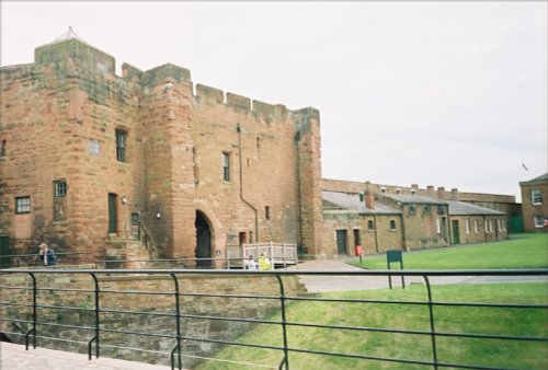
Set in the scenic surroundings on the northern outskirts of Carlisle, the castle built by William Rufus in the late 11th century.....
..
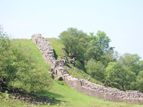
Wild and evocative remains of the Roman Empire's most northerly defences, with panoramic views. Roman barracks and some of the.....
..
The clearly defined peaks of the glorious Cheviot Hills dominate the western side of the border territory as it juts boldly out.....
Follow PicturesOfEngland.com on social media and help share the beauty of England....
