Diss is a beautiful old market town built around the edge of a six acre lake...
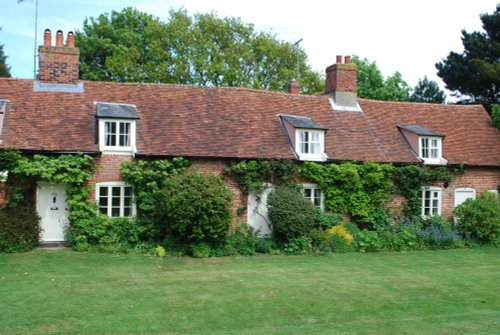
Woolpit has a pleasant medieval village centre around which are spread a variety of pretty cottages and attractive houses...
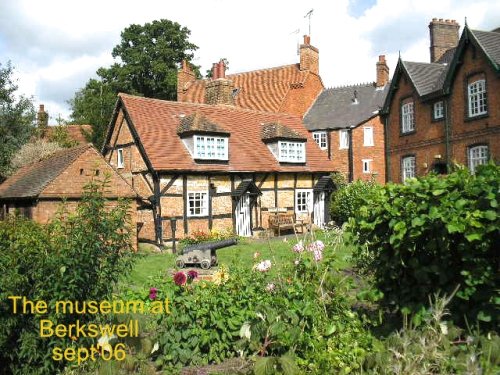
This is a delightful village set in the famous Brecks. It is a lovely place for country lovers, offering miles of attractive country walks...
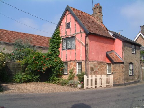
Narrow, medieval streets full of enchanting properties built following the Great Fire of 1615, mingle with the few building which fortunately escaped being raised to the ground...

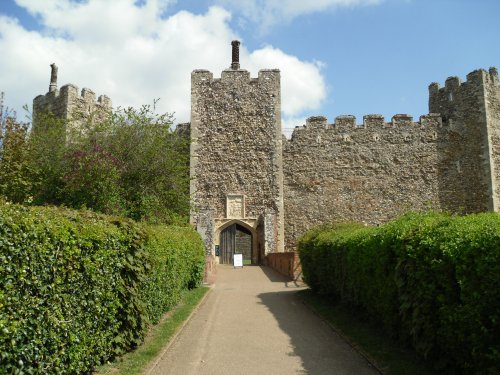
This is a town that can trace its history back to the Stone-Age, it has been a successive settlement throughout the ages and has been populated by settlers from the Iron-Age,.....
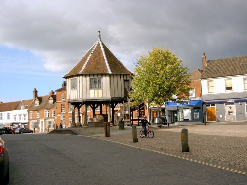
On reaching the curve of Market Hill a quaint, colourful sign proclaims to the visitor that you have arrived in the pretty market.....

Rising stark against the vast Norfolk skyline, the sight of Wymondham Abbey is at once both intriguing and eye-catching. It is.....
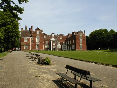
This stunning red brick Elizabethan house was built in 1548 for a wealthy merchant with cultural leanings, therefore it is.....
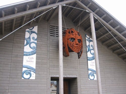
Sutton Hoo can be found amongst the marshy creeks and reedy rivers of Suffolk. It is perhaps most famous as the setting of one.....
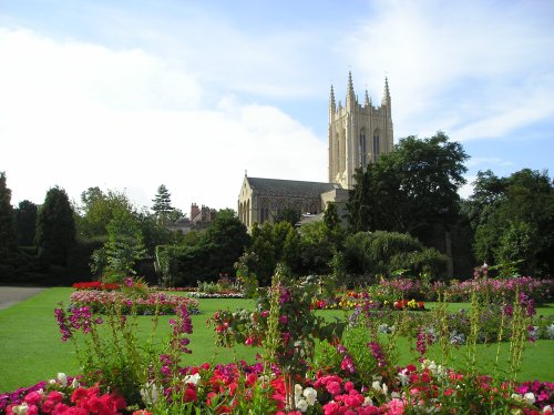
Started in 1503, and now complete after over 500 years (2005) with the addition of a central tower...
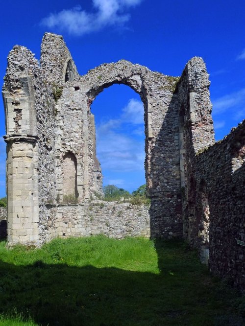
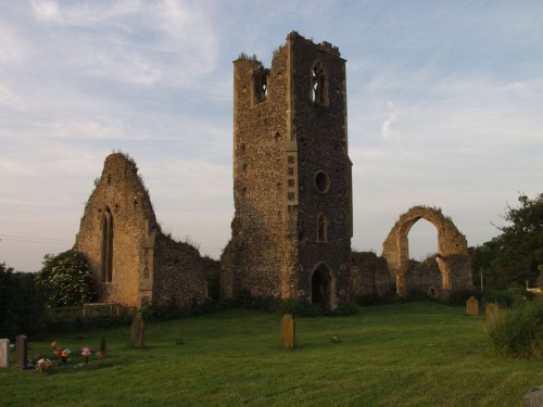
These are the evocative remains of an abbey founded when the order of the land was God first, followed by King and country. The.....
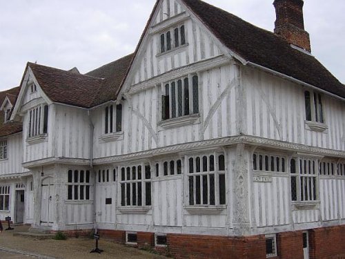
Built by Corpus Christi, Lavenham's Guildhall is a magnificent 16th century timber-framed tudor building, now maintained by The.....
Follow PicturesOfEngland.com on social media and help share the beauty of England....