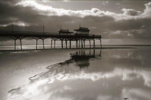
St. Anne's has a fine sandy beach backed by grassy sand dunes and a fascinating pier, first built in 1885 and subsequently rebuilt and remodelled...
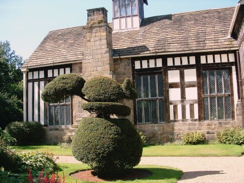
Noted for its picturesque late-medieval manor house Rufford Old Hall, the village of Rufford occupies a fine setting on the fertile Lancashire Plains...
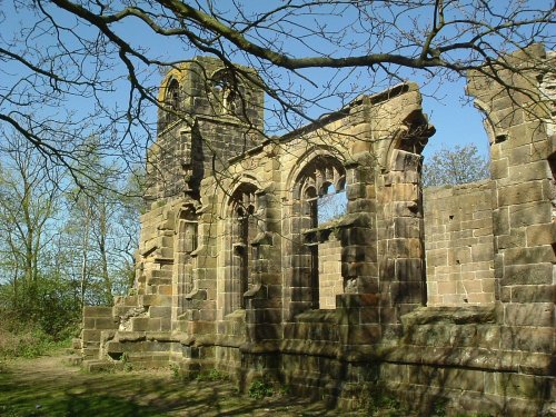
This attractive village was mentioned in the Doomsday Book. It is perhaps best known for the evocative ruins of St. Catherine's Church...

Modern day Crosby straddles the Irish Sea, it is a mainly residential area with a coastline of sands - including the Blundell Sands, thus named for the Blundell family...
..
..
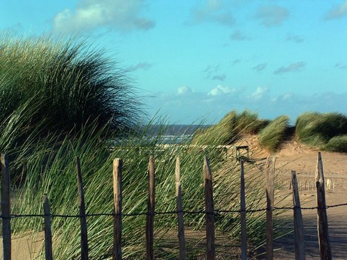
A beautiful stretch of coastline offering a large expanse of beach, sand dunes and pine woods where you can glimpse the rare but.....
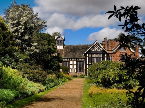
Rufford Old Hall was presented to the National Trust in 1936 by Lord Hesketh. The Old Hall is a medieval manor house of splendid.....
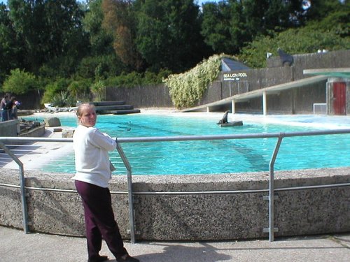
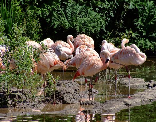
Blackpool Zoo, situated in Lancashire, England, is a popular zoological park known for its wide variety of animals and.....
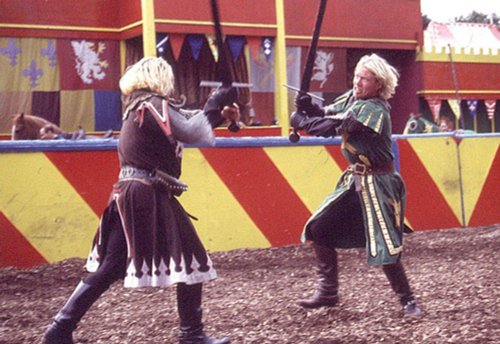
Join Merlin, King Arthur and his brave knights of the Round Table at the Kingdom of Camelot and explore five magical lands filled.....

..
..
Follow PicturesOfEngland.com on social media and help share the beauty of England....