Please login or click here to join.
Forgot Password? Click Here to reset pasword
..
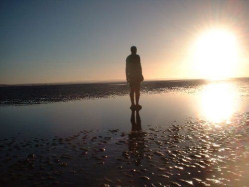
Modern day Crosby straddles the Irish Sea, it is a mainly residential area with a coastline of sands - including the Blundell Sands, thus named for the Blundell family...
World famous for it's football team and the birthplace of the Beatles , from early humble origins Liverpool, over the centuries has grown and developed to become one of the most.....
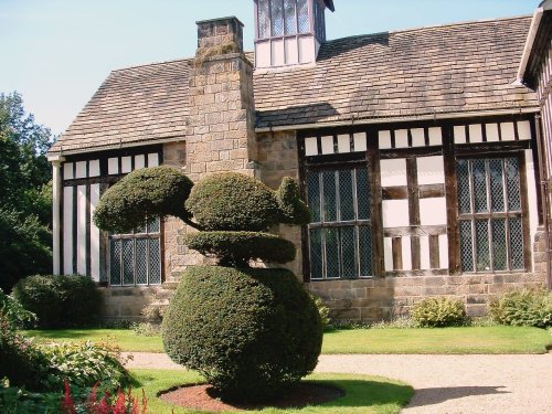
Noted for its picturesque late-medieval manor house Rufford Old Hall, the village of Rufford occupies a fine setting on the fertile Lancashire Plains...
Having transcended the Industrial Revolution and shaken off its old image, St.Helens is rapidly developing into a place of culture and style...
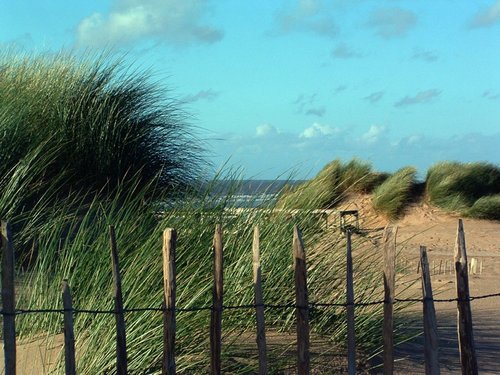
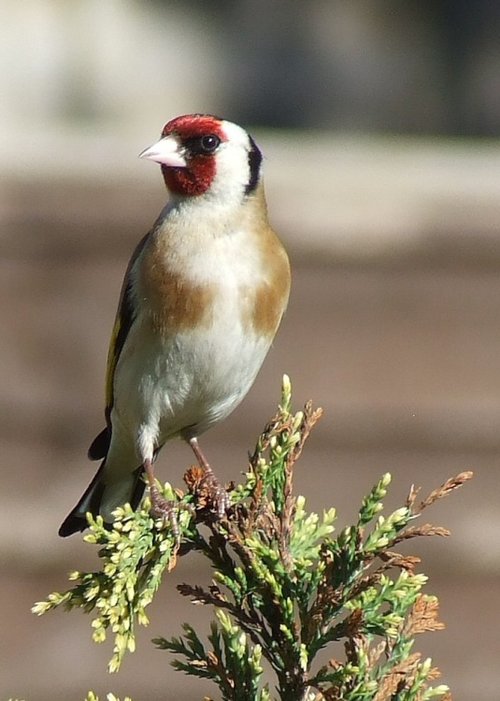
A beautiful stretch of coastline offering a large expanse of beach, sand dunes and pine woods where you can glimpse the rare but.....
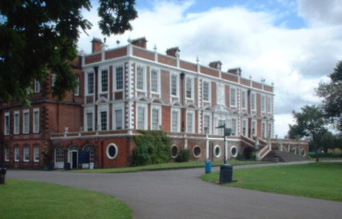
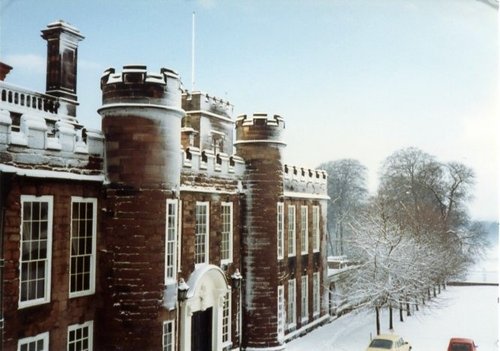
This magnificent Hall was once the home of the Molyneux family, Earls of Sefton, who were second in importance to the Earls of.....
..
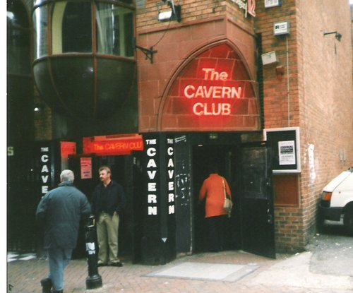
The most famous club in the world....
..
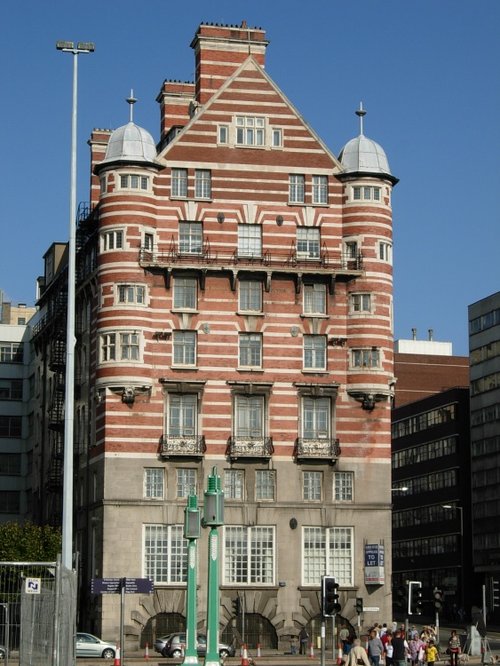
A Victorian era office block designed by Richard Norman Shaw who based the design after his earlier work on Scotland Yard. Albion.....
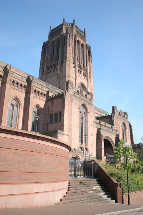
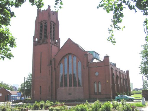
That Liverpool should finally have a Roman Catholic Cathedral of its own, was a dream come true when on 14th May 1967, the.....
Follow PicturesOfEngland.com on social media and help share the beauty of England....