The town's historic roots go back beyond the Bronze-Age, as evidenced by findings in the 20th century...
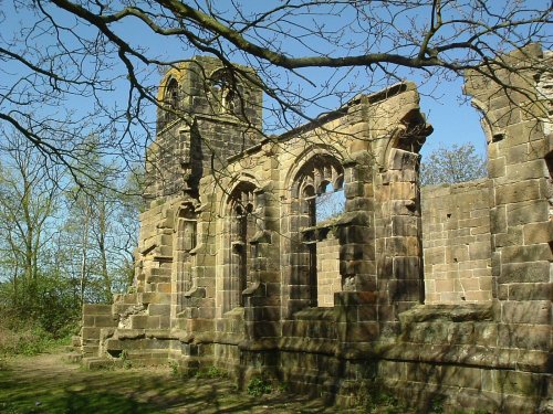
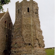
This attractive village was mentioned in the Doomsday Book. It is perhaps best known for the evocative ruins of St. Catherine's Church...
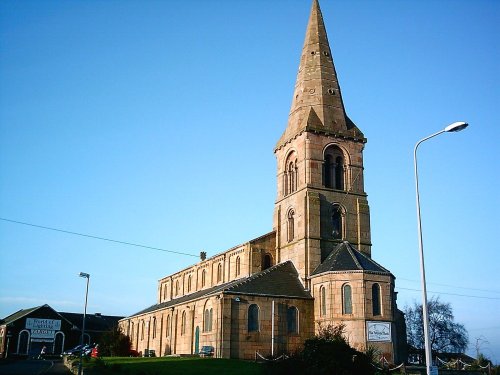
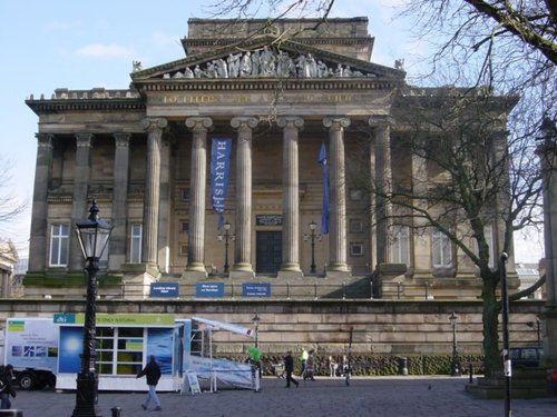
This is the town that was at the centre of the cotton spinning industry for well over a hundred and fifty years. ..

It was here that James I created "Sirloin" when he supposedly knighted his beef!..
..
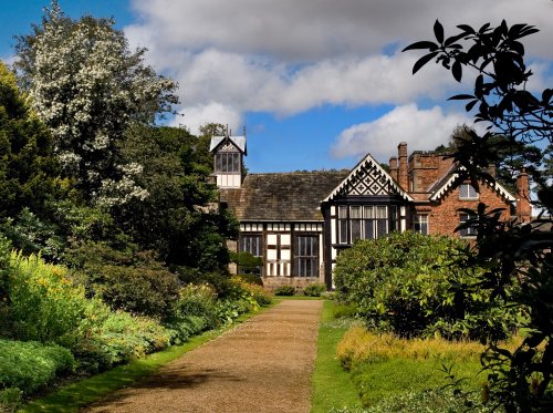
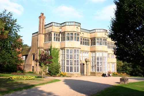
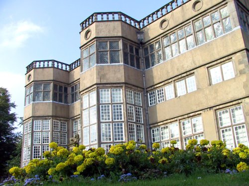
Rufford Old Hall was presented to the National Trust in 1936 by Lord Hesketh. The Old Hall is a medieval manor house of splendid.....
..
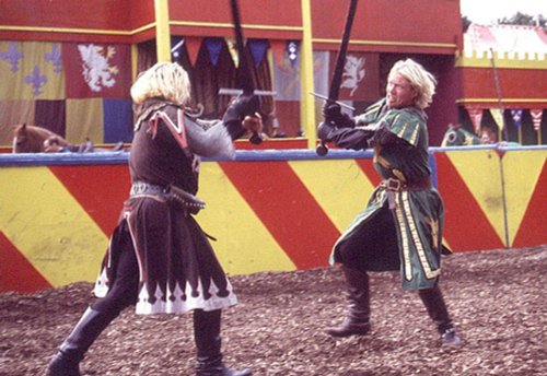
Join Merlin, King Arthur and his brave knights of the Round Table at the Kingdom of Camelot and explore five magical lands filled.....
..
..
..
..
Enjoy this site?
Please help us stay online by making a donation today - thank you for your kind support.

Follow PicturesOfEngland.com on social media and help share the beauty of England....