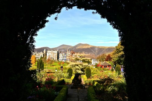
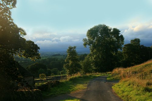
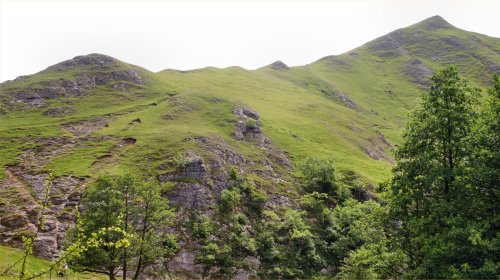
Overshadowing the picturesque village of Thorpe is the 1,000 ft high limestone hill called "Thorpe Cloud", which with Bunster Hill stands sentinel either side of the entrance to Dovedale. Out of interest the word "cloud" has its roots in the old English word - "clud" meaning large rock or hill. A pity really - as "Thorpe Cloud" sounds as if it should have a more romantic meaning than "The hill by the Danish farm"! This aside - the views from the top of Thorpe Cloud are spectacular - and it's not difficult to climb - just a 20 minute walk from the entrance of Dove Dale.
(www.ashbourne-town.com)
a Historic Market Town in the county of Derbyshire
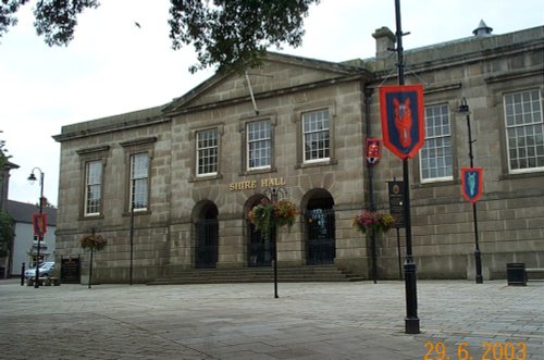
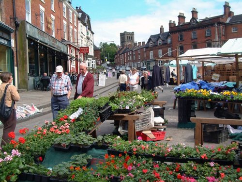
(3.3 miles, 5.3 km, direction SE)Ashbourne is a delightful market town located in the Derbyshire Dales, in the central part of England...
in the county of Derbyshire
(5.9 miles, 9.5 km, direction N)Hartington is a small village centred around a medieval market place, with attractive 18th and 19th century buildings...
in the county of Staffordshire
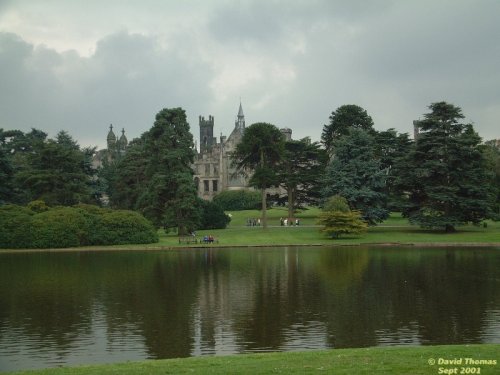
(7.3 miles, 11.7 km, direction SW)The village has many elegant stone buildings, and there is a circular lock-up and the romantic ruins of a 12th-century castle...
in the county of Staffordshire
(7.3 miles, 11.8 km, direction SW)Denstone is a peaceful village set in the midst of rural Staffordshire countryside, where farm meadows are watered from a myriad of sparkling rivers flowing down from the Peak District National Park...
in the county of Staffordshire
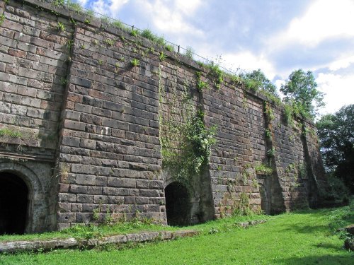
(8.3 miles, 13.3 km, direction W)Attractively situated on the banks of the Caldon Canal in the beautiful Churnet Valley. Froghall offers visitors the opportunity to experience a diverse range of landscapes including fine watermeadows with a wealth of wildlife...
All towns in Derbyshire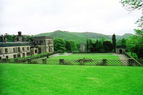
Running along both banks of the river Manifold, this is an area of beautiful open park and woodland with spectacular views.....
The River Dove flows through one of England's loveliest valleys. Though little more than a mile long, Dove Dale shows a variety.....
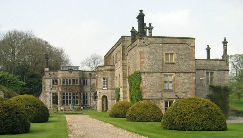
Dating from Jacobean times, Tissington Hall has been lived in by the FitzHerbert family for 500 years and is set in the beautiful.....
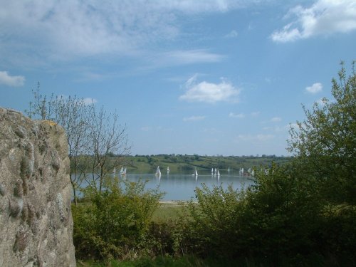
Carsington Water is situated close to the village of Carsington in the lower regions of Derbyshire. Carsington Water is a large.....
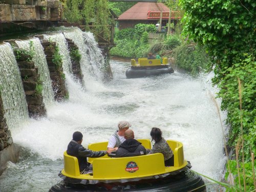
Alton Towers is the number one theme park in England. Dating back to the Victorian times, Alton Towers closed during the outbreak.....