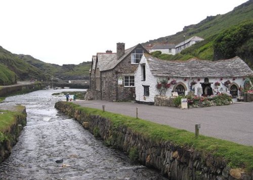
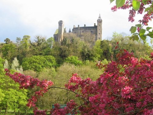
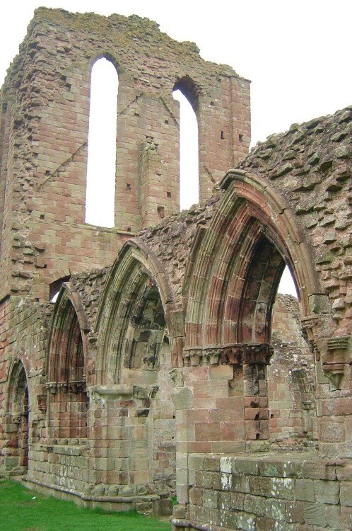
The village has many elegant stone buildings, and there is a circular lock-up and the romantic ruins of a 12th-century castle...
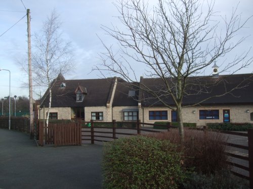
Denstone is a peaceful village set in the midst of rural Staffordshire countryside, where farm meadows are watered from a myriad of sparkling rivers flowing down from the Peak District National Park...
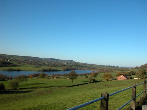
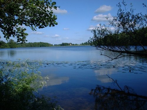
A pretty village with a delightful cluster of cottages and houses with lovely gardens, bordered by woods at the south end of the picturesque Rudyard Reservoir...
Town known best as "the potteries" but in reality Stoke-on-Trent is a 1906 amalgamation of six towns, each of which still maintain their own individuality and character...
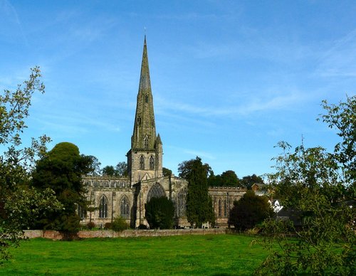
Ashbourne is a delightful market town located in the Derbyshire Dales, in the central part of England...
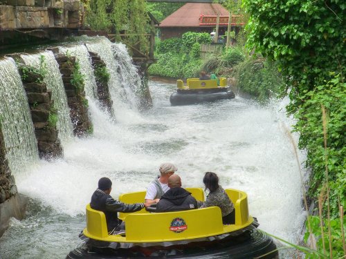
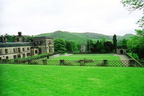
Alton Towers is the number one theme park in England. Dating back to the Victorian times, Alton Towers closed during the outbreak.....
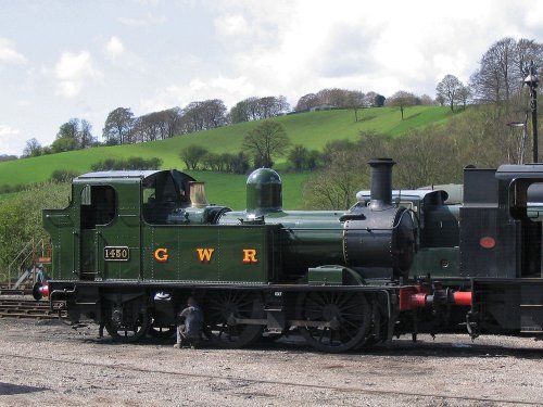
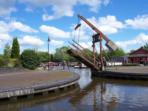
The Churnet Valley Railway is a preserved standard gauge heritage railway to the east of Stoke-on-Trent in Staffordshire,.....
..
..
Running along both banks of the river Manifold, this is an area of beautiful open park and woodland with spectacular views.....
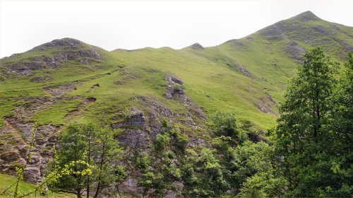
The River Dove flows through one of England's loveliest valleys. Though little more than a mile long, Dove Dale shows a variety.....
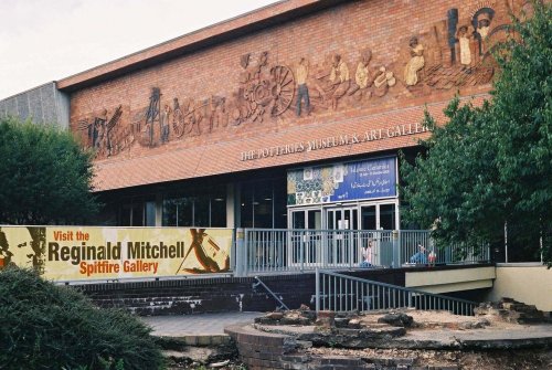
This is the foremost museum for fine porcelain produced over several centuries in the famous potteries of Staffordshire. Here,.....
Follow PicturesOfEngland.com on social media and help share the beauty of England....