Please login or click here to join.
Forgot Password? Click Here to reset pasword

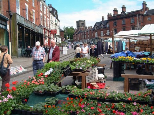
Ashbourne is a delightful market town located in the Derbyshire Dales, in the central part of England...
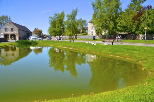
Hartington is a small village centred around a medieval market place, with attractive 18th and 19th century buildings...
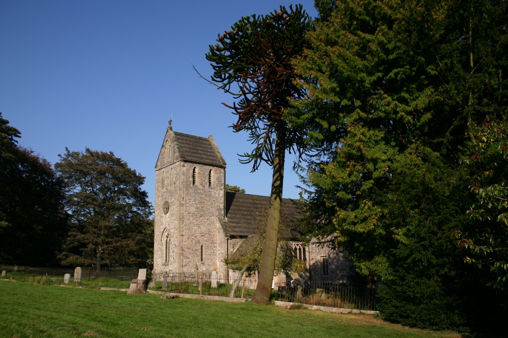
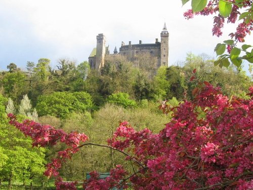
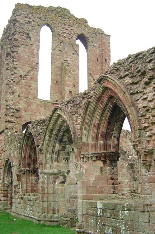
The village has many elegant stone buildings, and there is a circular lock-up and the romantic ruins of a 12th-century castle...
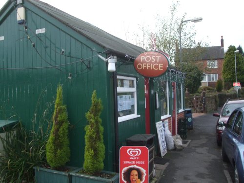
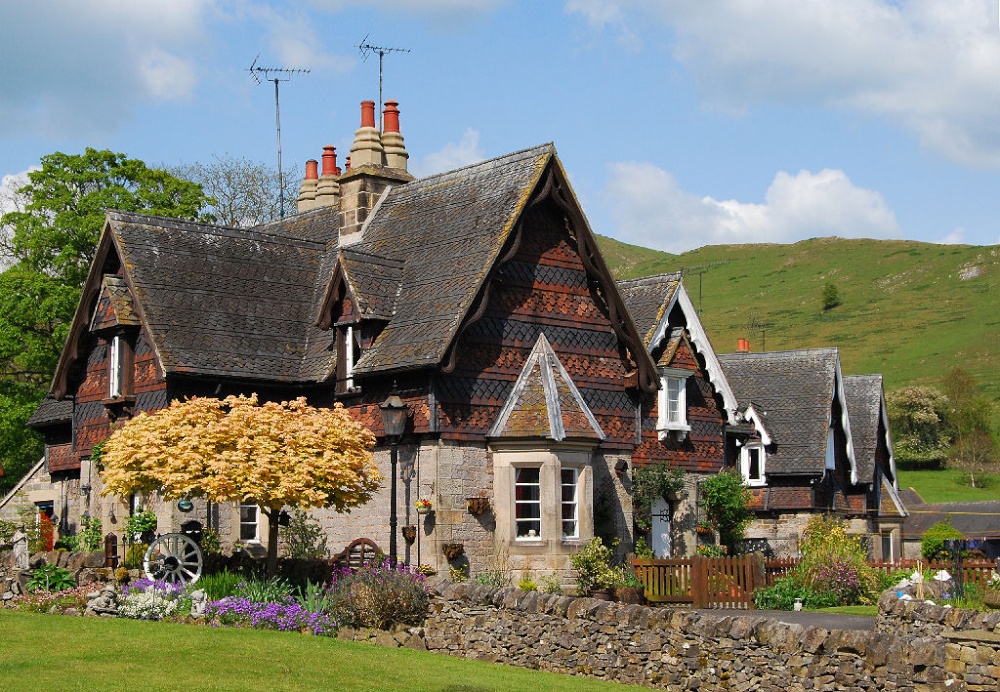
Denstone is a peaceful village set in the midst of rural Staffordshire countryside, where farm meadows are watered from a myriad of sparkling rivers flowing down from the Peak District National Park...
Attractively situated on the banks of the Caldon Canal in the beautiful Churnet Valley. Froghall offers visitors the opportunity to experience a diverse range of landscapes including fine watermeadows with a wealth of wildlife...
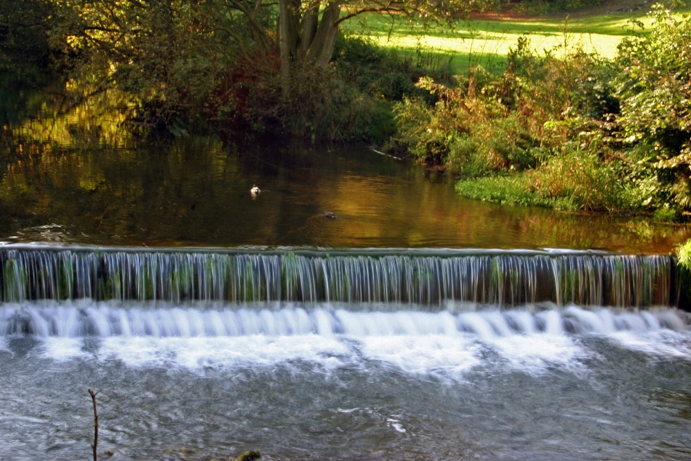
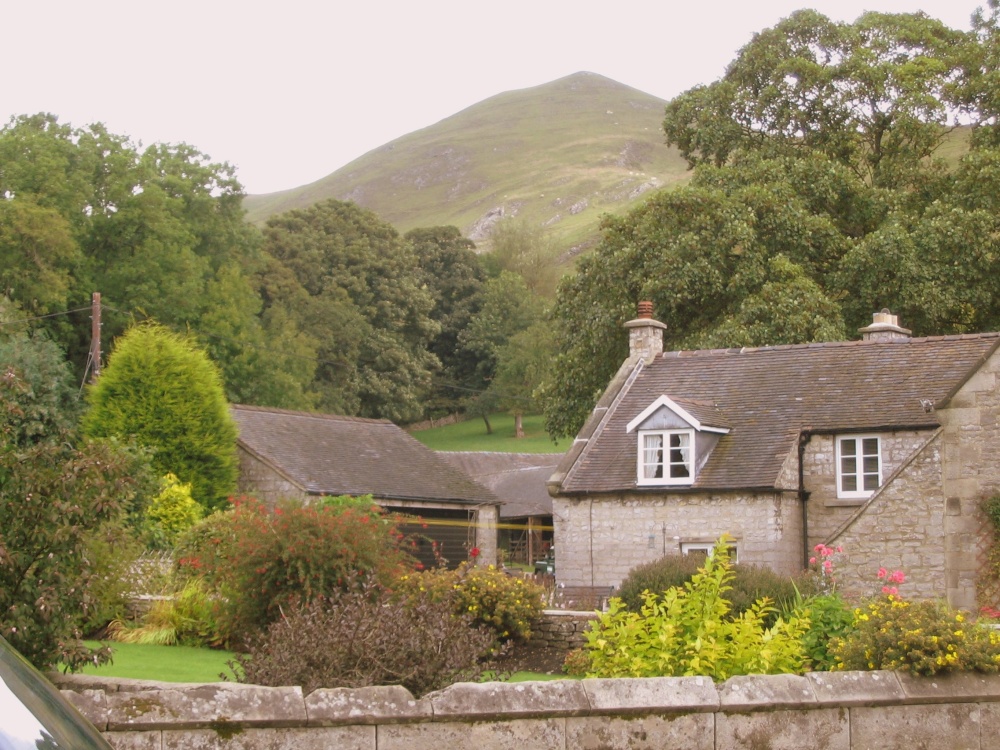
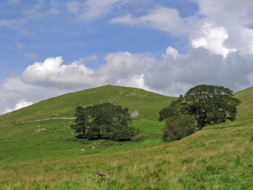
Running along both banks of the river Manifold, this is an area of beautiful open park and woodland with spectacular views.....
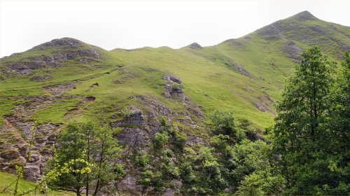
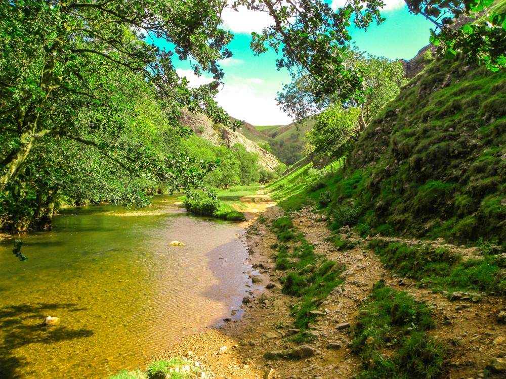
The River Dove flows through one of England's loveliest valleys. Though little more than a mile long, Dove Dale shows a variety.....
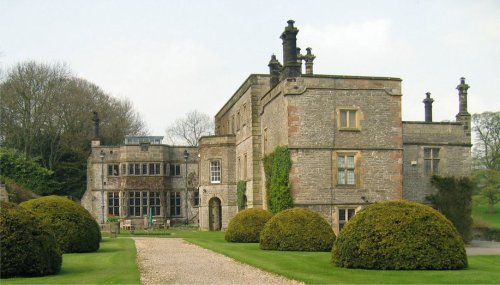
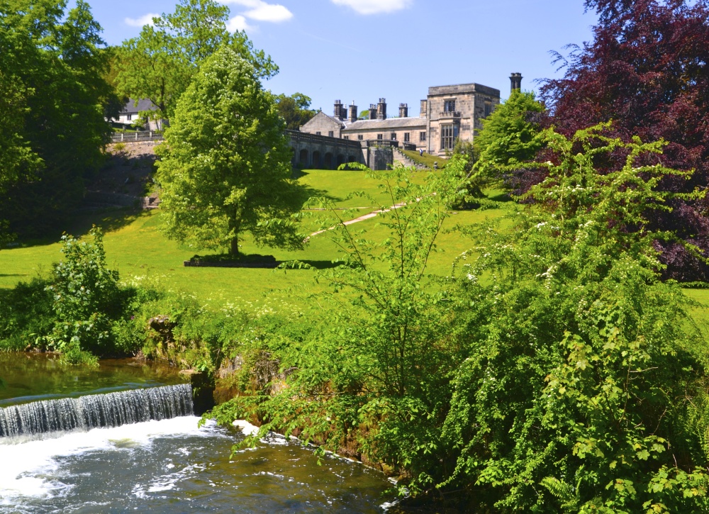
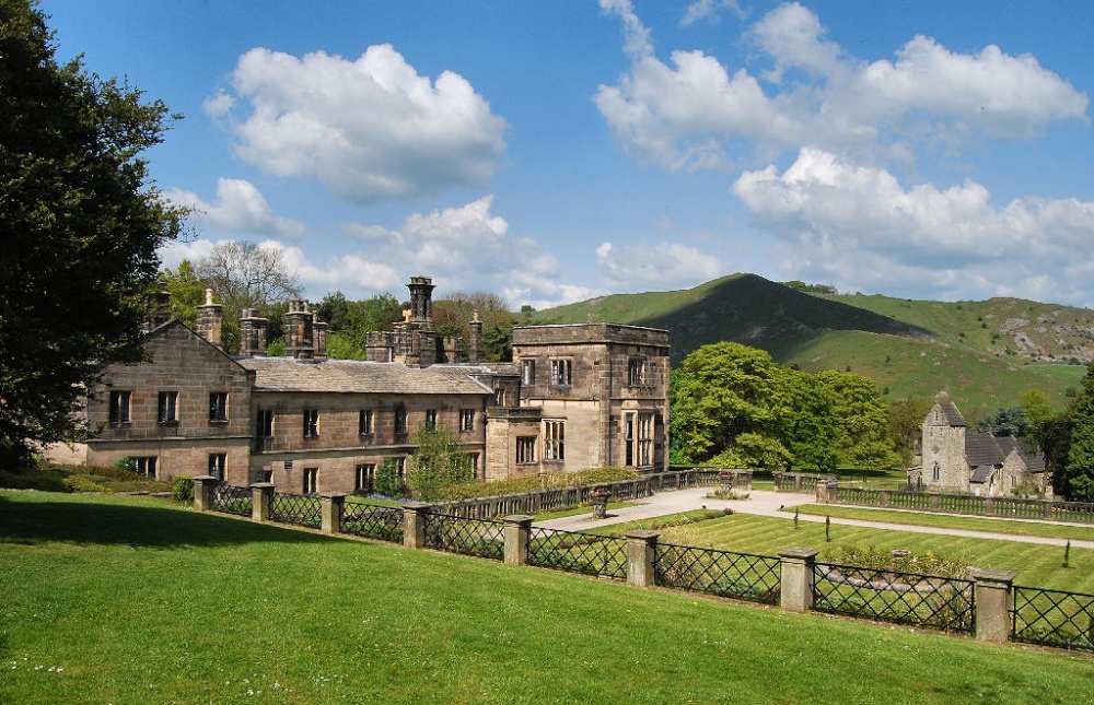
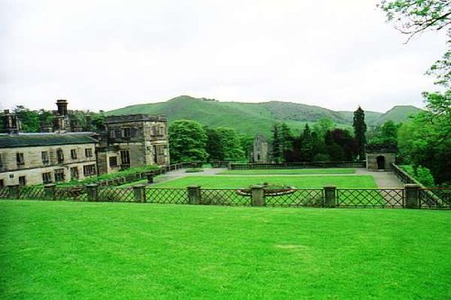
Dating from Jacobean times, Tissington Hall has been lived in by the FitzHerbert family for 500 years and is set in the beautiful.....
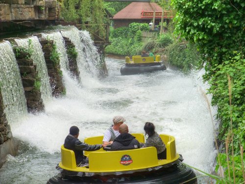
Alton Towers is the number one theme park in England. Dating back to the Victorian times, Alton Towers closed during the outbreak.....
..
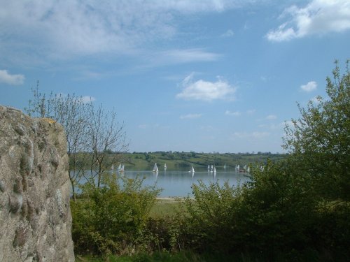
Carsington Water is situated close to the village of Carsington in the lower regions of Derbyshire. Carsington Water is a large.....
..
Follow PicturesOfEngland.com on social media and help share the beauty of England....