Please login or click here to join.
Forgot Password? Click Here to reset pasword
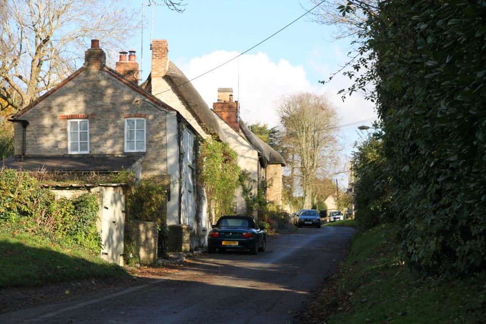 |
High Street, Upper Heyford Upper Heyford is a small village which sprawls for a quarter of a mile along the small road that links the nearby villages of Lower Heyford and Somerton. Two side turnings, High Street and Mill Lane, lead down the side of the valley towards the Oxford Canal and the River Cherwell at the bottom of the valley. The nearby RAF Upper Heyford was was brought into use for flying in July 1918 by the Royal Flying Corps. During World War II it was used by many units of the RAF, mainly as a training facility. From March 1946 until June 1950 it was the home of No.1 Parachute Training School RAF. During the Cold War and until 1993, Upper Heyford served as a base for United States Air Force Strategic Air Command (SAC) strategic bombers, and later United States Air Forces In Europe (USAFE) tactical reconnaissance, fighter and fighter-bomber aircraft in the UK. RAF Upper Heyford closed in 1994. This picture appears in the following picture tours: Camera Make: Canon� Model: Canon EOS 500D� |
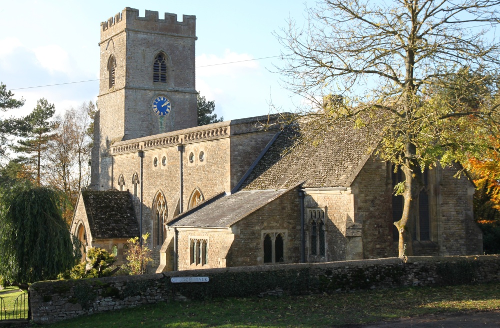 |
St. Mary's Church, Upper Heyford St. Mary's may date from the 15th century but only the Perpendicular Gothic tower survives from that time. Otherwise the church building is Victorian. This picture appears in the following picture tours: Camera Make: Canon� Model: Canon EOS 500D� |
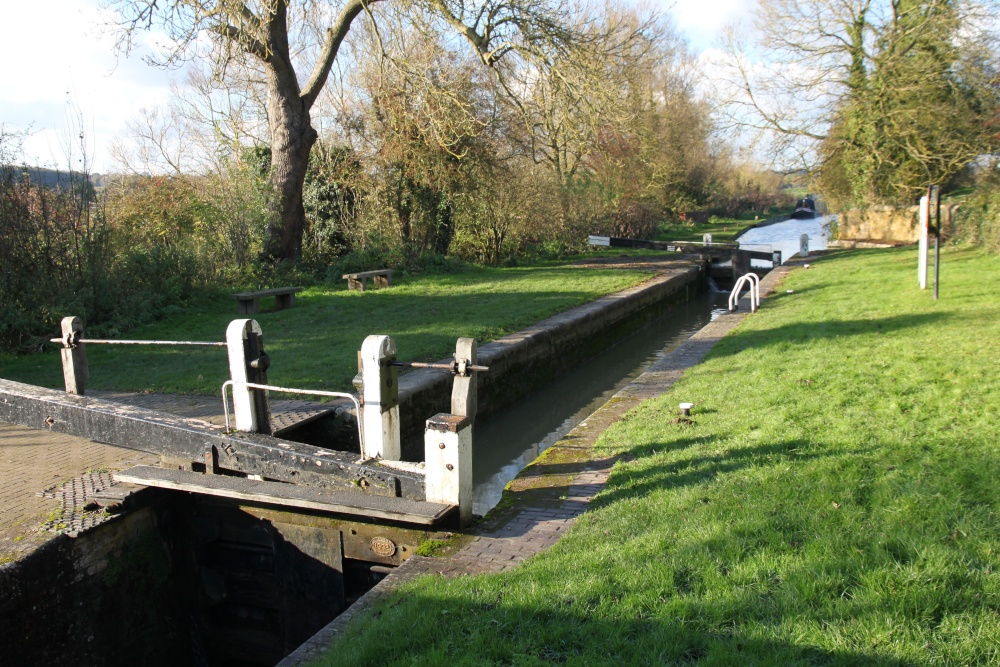 |
Allen's Lock, Upper Heyford This picture appears in the following picture tour: Camera Make: Canon� Model: Canon EOS 500D� |
Follow PicturesOfEngland.com on social media and help share the beauty of England....