Please login or click here to join.
Forgot Password? Click Here to reset pasword
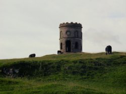
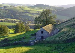
This barely spoilt town offers an exciting opportunity to enjoy a town crammed with beautiful buildings whilst exploring the high upland regions of England's glorious Peak District National Park...
Information | Pictures (81) | Hotels | Holiday Cottages
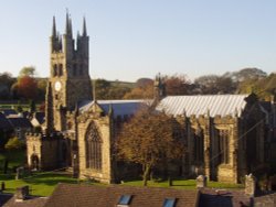
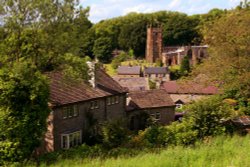
Chapel is a well preserved, picturesque place. It has a lovely old church dating back to the 14th-century which stands on the spot of an earlier church built by foresters a century or so before...
Information | Pictures (5) | Hotels | Holiday Cottages
An attractive small town in the High Peak district of Derbyshire...
Information | Pictures (13) | Hotels | Holiday Cottages
A picturesque village amongst the Peak District Dales..
Information | Pictures (10) | Hotels | Holiday Cottages
A small picturesque village in Cheshire..
Information | Pictures (12) | Hotels | Holiday Cottages
A small Market town in Cheshire..
Information | Pictures (13) | Hotels | Holiday Cottages
Tideswell is famous for its superb, large church, known as the "Cathedral of the Peak"...
Information | Pictures (5) | Hotels | Holiday Cottages
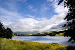
Meerbrook is a small village situated along the river Churnet on the edge of The Peak District National Park. It is close to the man-made Tittesworth Reservoir which submerged.....
Information | Pictures (13) | Hotels | Holiday Cottages
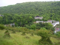
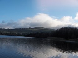
Set amidst the dramatic scenery of the glorious Peak District National Park, Cressbrook offers visitors breathtaking views from the road winding through this deep river valley. .....
Information | Pictures (13) | Hotels | Holiday Cottages
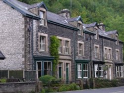
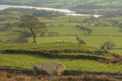
Hartington is a small village centred around a medieval market place, with attractive 18th and 19th century buildings...
Information | Pictures (34) | Hotels | Holiday Cottages
All towns in Derbyshire..
Information | Pictures (9) | Hotels
..
Information | Pictures (1) | Hotels
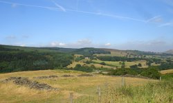
Goyt's Moss lies in the wild and beautiful Goyt Valley, its steep slopes sweep down into the tranquil waters of the Fernlee.....
Information | Pictures (3) | Hotels
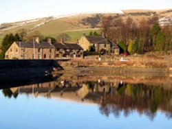
Constructed in 1967, Errwood Reservoir is located in the Peak District National Park..
Information | Pictures (3) | Hotels
..
Information | Pictures (3) | Hotels
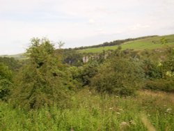
Chee Dale is an extremely picturesque winding gorge along the river Wye and is a popular spot in the Peak District amongst.....
Information | Pictures (5) | Hotels

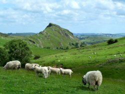
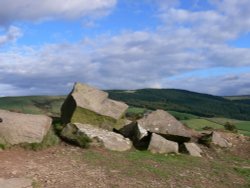
A picturesque spot containing the remains of a Romano-British village - a settlement of mostly native Britons influenced by Roman.....
Dating form the 18th Century and standing in beautiful surroundings, on the edge of Macclesfield Forest Reservoir, this stone.....
Information | Pictures (1) | Hotels
Tegg's Nose Country Park comprises mainly of wild untamed countryside high above Macclesfield. It offers nature lovers many.....
Information | Pictures (8) | Hotels
Part of the Derbyshire Dales National Nature Reserve..
Follow PicturesOfEngland.com on social media and help share the beauty of England....