Britain's largest sculpture, The Angel of the North weighs in at 208 tonnes and stands 20 metres high. It was based on artist Antony Gormley's own body and has wings spanning 54 metres.
This huge sculpture overlooks the A1 at Gateshead and at least 90,000 motorists a day will pass it by. It can also be seen on the train journey from London to Edinburgh.
a Historic City in the county of Tyne & Wear
(3.1 miles, 4.9 km, direction N)This important City was known as Pons Aelii in Roman times; the Romans built the first bridge over the River Tyne, it was guarded by a Roman fort which was replaced by a castle.....
in the county of County Durham
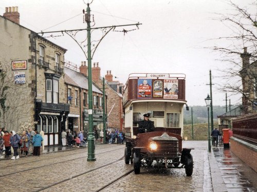
(4.4 miles, 7.0 km, direction S)Beamish is famous for its lovely open-air museum which so vividly brings to life how the folk of the region lived at the turn of the 20th century...
in the county of Tyne & Wear
(6.0 miles, 9.7 km, direction NE)This is the town that is famous for the 1930's "Hunger March" caused by the intense poverty that followed the closing of the Charles Palmer shipyard. The last of the surviving marchers, Cornelius Whalen died in 2003 at the age of 93...
in the county of Tyne & Wear
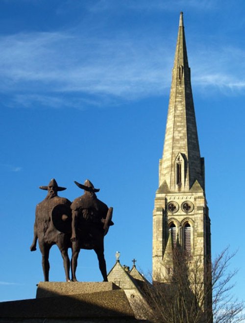
(6.5 miles, 10.5 km, direction SE)Penshaw lies in open countryside between the urban sprawl of Sunderland and Washington...
in the county of Tyne & Wear
(9.3 miles, 14.9 km, direction E)Sunderland was granted a charter in 1145, the charter gave it market rights and thus the town grew slowly from humble beginnings...
All towns in Tyne & Wear
The Baltic Centre is a new £46m art gallery on the banks of the Tyne and is the latest evidence of the area's growing cultural.....
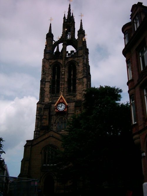
The magnificent cathedral church of St. Nicholas has stood at the heart of Newcastle for many centuries. Its superb lantern.....
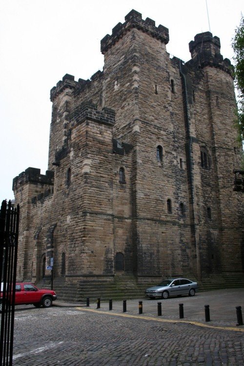
On returning from a raid into Scotland, Robert Curthose, eldest son of William the Conqueror built a castle calling it his `New.....
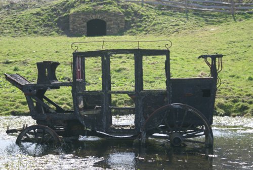
Beamish Museum lies in a basin of stunning countryside covering over three hundred acres. This is no ordinary museum, but an.....
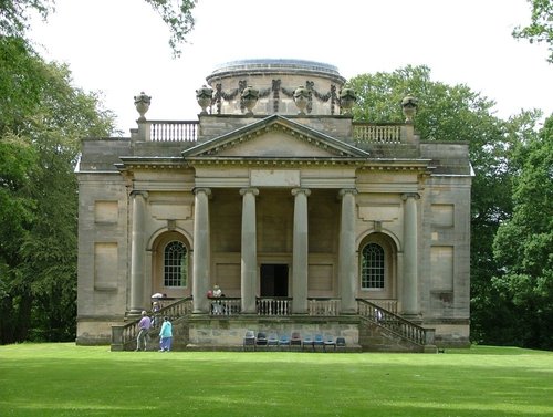
Gibside is famous for the sedate historic estate set at the heart of the outstandingly beautiful Derwent Valley. The estate was.....