Please login or click here to join.
Forgot Password? Click Here to reset pasword
If you would like to add a description of Athelney, please use our Athelney forum here. To upload your Athelney photography and create your very own 'Pictures of England Gallery', click here or here to join the site and become part of the Pictures of England community, or simply see below for nearby recommended towns, attractions, and Athelney accommodation.

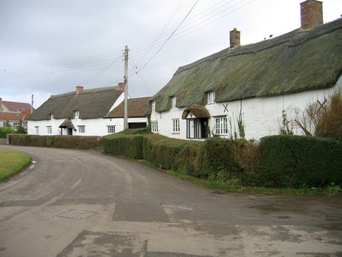
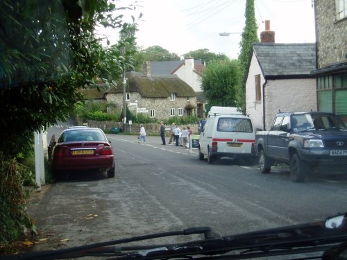
This attractive village developed along the waters of the rivers Tone and Parrett, it lies in an area known as The Somerset Levels and is famous for a local beauty spot called The Barrow Mump...
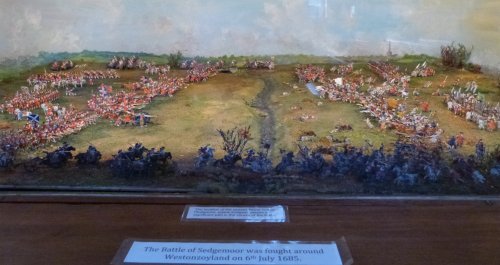
Middlezoy, like neighbouring Westonzoyland is widely known for its associations with the Battle of Sedgemoor which took place in 1685...
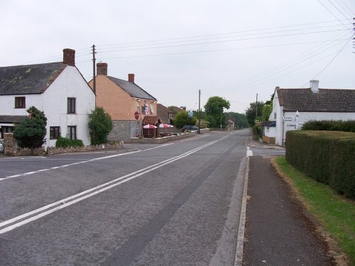
This attractive Somerset village is found within easy reach of the old town of Bridgewater...
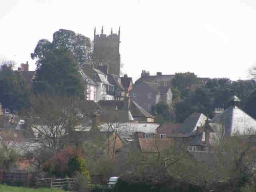
This old town cradled at the heart of the Somerset Levels, sits bounded by the soft rolling Somerset countryside...
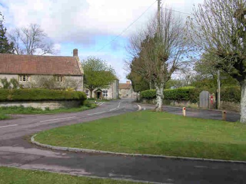
Just as it's name implies, High Ham sits in a lofty upland position, overlooking the levels amid wooded countryside...

Bridgwater emerged from a village of the Middle Ages to become a prosperous river-port. Later, it became known as the place where Monmouth proclaimed himself King...

..
..
..
There is little doubt that this town is best known for the production of Cider (which is reputed to be Prince Williams' favourite drink) but this golden beverage should not be.....

..
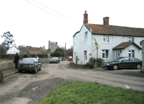
Pawlett is an attractive river village on the banks of the estuary of the River Parrett. It is a spacious village with a delightful mix of properties interspersed amongst leafy lanes...
..
The interior of Martock's Ham-stone church is perhaps the grandest in all Somerset, the startling effect of the golden stone against the most lavishly decorated of the county's great tie-beam roofs is simply overwhelming...

..
..
..
This little town now enjoys world renown for its annual music festival which attracts thousands of visitors from all over the globe. None-the-less, this still remains very much a.....

..
..
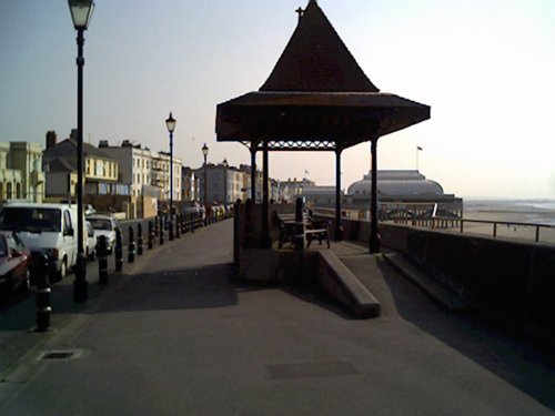
This pleasant seaside resort offers vast expanses of glorious golden sands, making it a paradise for children and sun worshippers alike...
Chard is a small market town in somerset..
This is a delightful Somerset village nestling beneath the beautiful Blackdown Hills, close to the banks of the Bolham River...

Brent Knoll occupies an ancient landscape dominated by the Iron-Age fort on the summit of an isolated little round hill which rises to around 457 feet high...
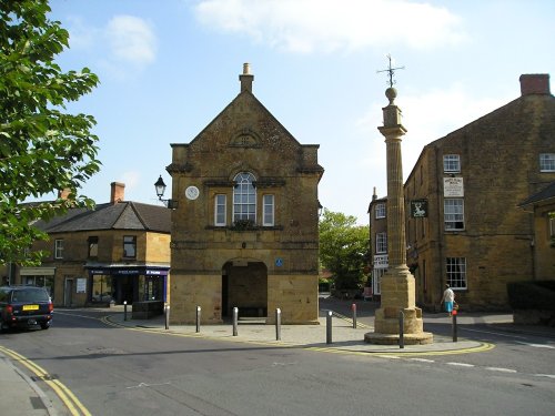
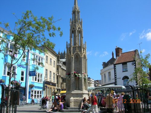
In medieval times this delightful village was the scene of markets and fairs, a market was held here as long ago as the 13th-century and the stone market cross, etched forever with the marks of time, still remains at the centre of the village...
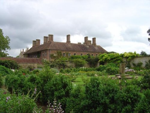
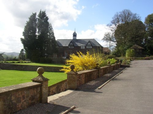
Barrington Court is an attractive 16th-century house built in the engaging "E" shaped style of the period in mellow Ham Hill.....
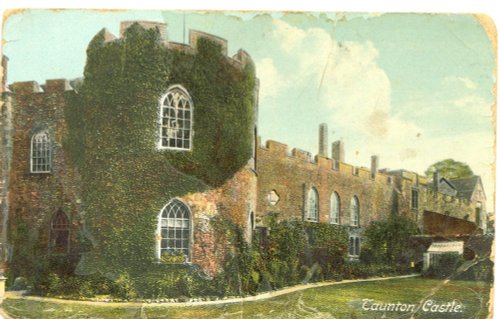
The turbulent past of historic Taunton Castle, is masked by its transformation into a luxurious comfortable hotel with an award.....
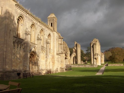
This is believed to be the site of the oldest Christian Church in the world, for centuries it has been the focus of Christian.....
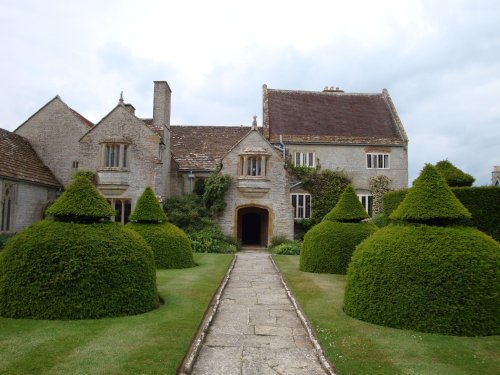
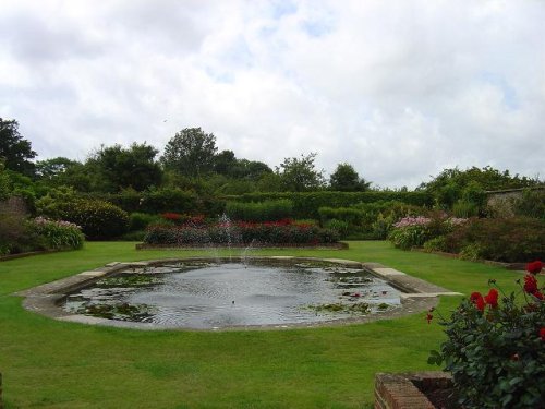
Intimate manor house with Arts & Crafts-style garden. Tudor great hall and 14th-century chapel, this was home to medieval.....
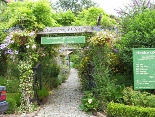
There are many associations with Chalice Well covering countless centuries; it is a timeless and sacred place, full of legend,.....
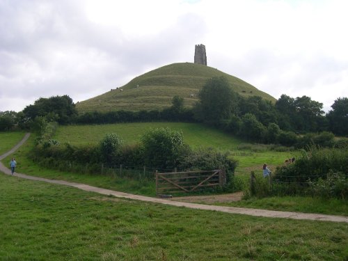
Swirling mists rise over the Somerset Levels, where approaching the town of Glastonbury, suddenly above the mist you catch a.....
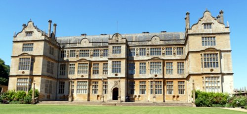
This is one of the most glittering of all the great Elizabethan mansions in England. It is built of glowing honey-coloured Ham.....
Follow PicturesOfEngland.com on social media and help share the beauty of England....
