Please login or click here to join.
Forgot Password? Click Here to reset pasword
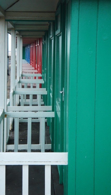
Sutton on Sea has an award winning beach. It is a resort which has a wide appeal to families, apart from a beautiful beach and all the fun of sand castles, there is a great outdoor pool which is entirely safe for children...
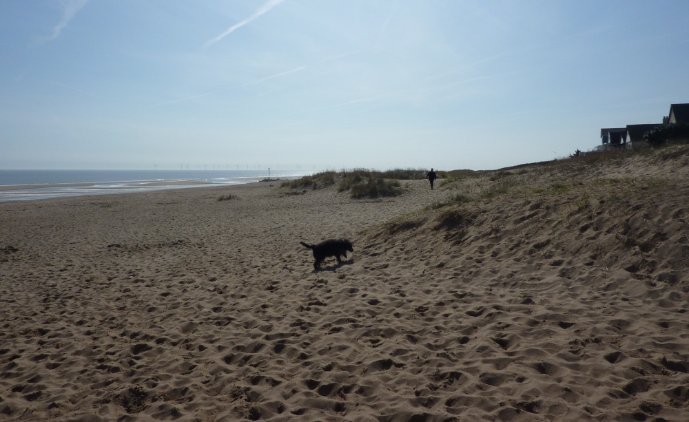
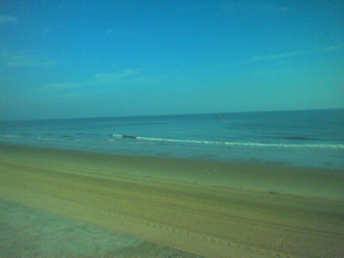
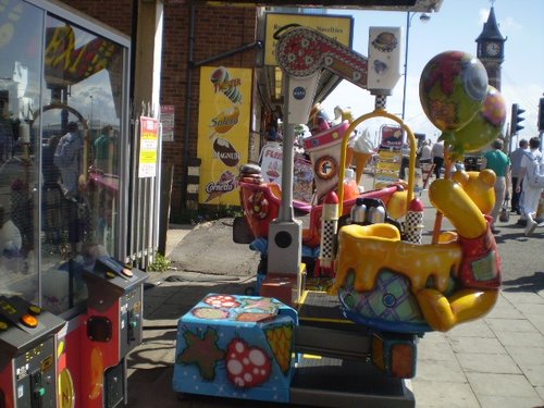
Ingoldmells offers an exciting traditional sea-side holiday, it has a good beach which is safe for bathing, and in the hinterland there is a great choice of caravan and camping parks for families...
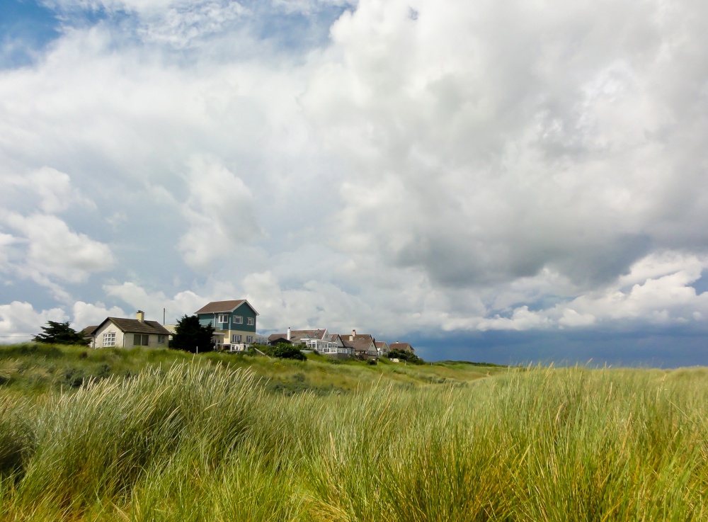
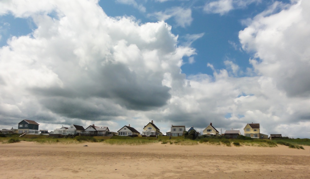
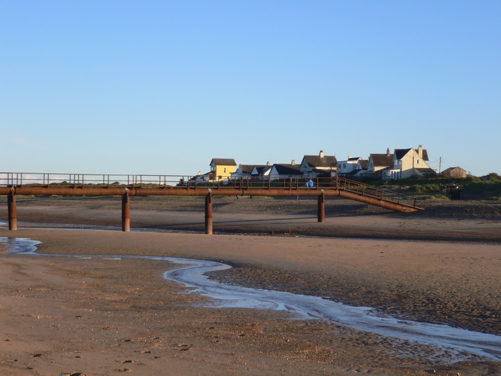
So settled is this coastal town that it is difficult to imagine that the Middle Ages saw the first parish of Mablethorpe swallowed up by the sea...
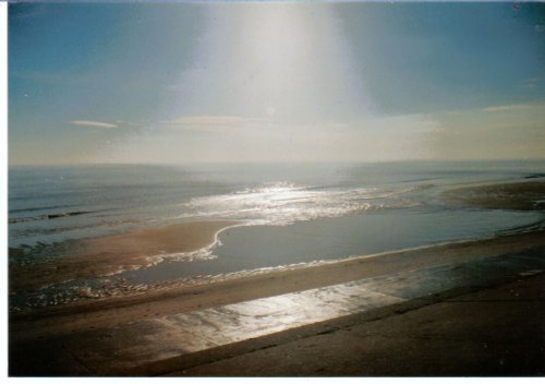
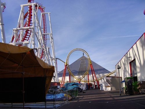
Skegness is a popular seaside town along the Lincolnshire coast...
The gentle hills of the Wold's beyond a coast inhabited by some of England's finest nature reserves reveal a wealth of preserved buildings dotted amid famously beautiful countryside...
..

..
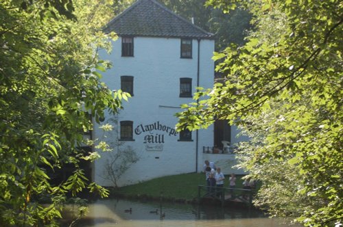
The wonderful world that is Claythorpe Water Mill and Gardens is located in lush "wold's" countryside between Claythorpe and Aby,.....
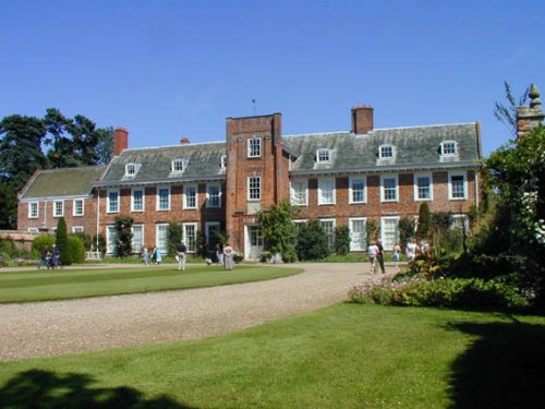
Built of a soft-pinkish brick, this long beautifully proportioned 17th century house presents a charming picture, the very.....

..
Looking at the huge red brick keep perched in its lofty setting the visitor is immediately struck by the strong French influences.....

..
Follow PicturesOfEngland.com on social media and help share the beauty of England....