Please login or click here to join.
Forgot Password? Click Here to reset pasword
There is little doubt that Borrowdale possess some of the most unforgettable of all in the vast landscape of The Lake District National Park...
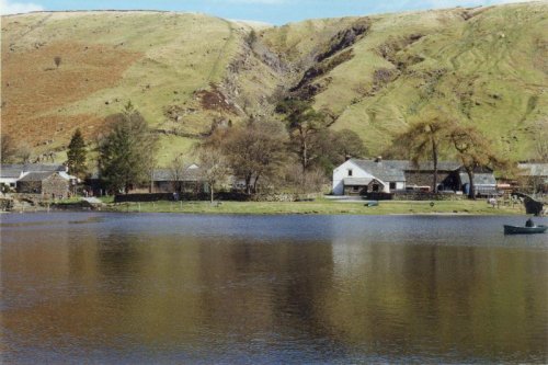
A place of great beauty, Watendlath's dramatic landscape inspired writer Sir Hugh Walpole to choose it as the setting for his Rogue Herries series...
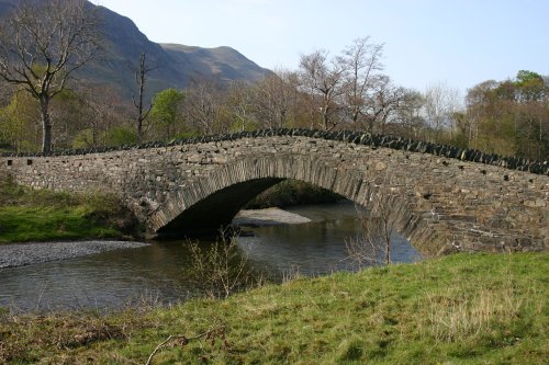
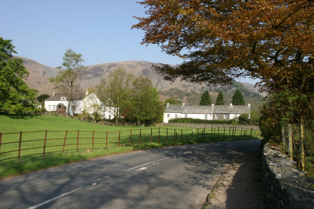
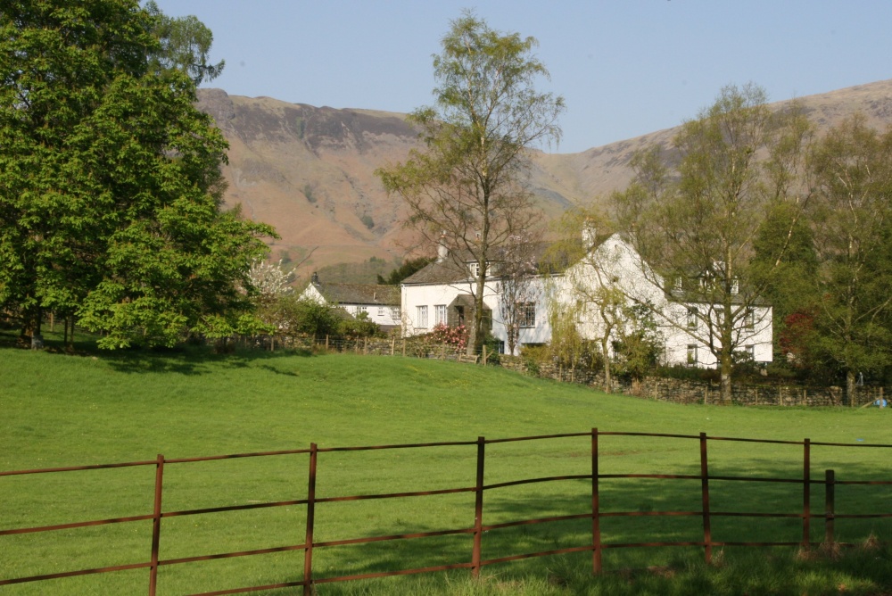
A picturesque village in the Borrowdale valley, one of the most beautiful valleys in England...
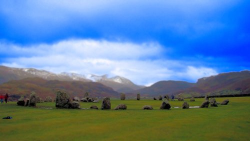
Castlerigg is a favoured destination for tourists, it is easily accessible from the market town of Keswick and is within easy reach of the snaking waters of the pretty River Greta, picturesque becks and fells...
Even when swirling mist rolls in over the stark fells surrounding Buttermere, the little hamlet remains serene in its simplicity and beauty...
..
I first saw the Lake District many years ago, when for eight out of my eleven day sojourn, it rained, and rained! None-the-less,.....
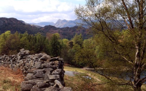
These famous pikes rise loftily above the village of Langdale, whilst below visitors can savour the wild and desolate beauty of.....

Derwentwater is one of 16 Lakes set within the Lake District National Park in Cumbria. It is one of the most northerly of the.....
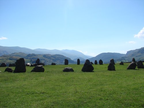
The best time to view Castlerigg Stone Circle is that eyrie time when night is just giving way to dawn. It is then, with a.....
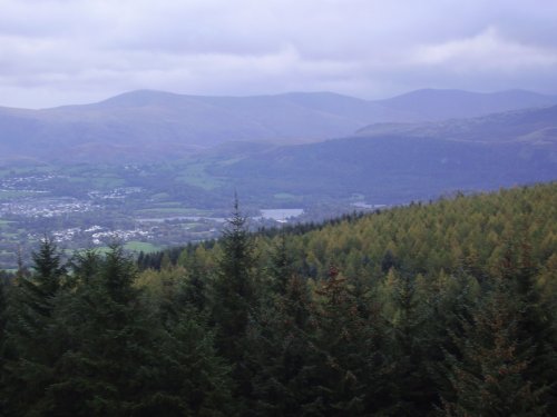
If you happen to visit Keswick in Cumbria do not miss out on Whinlatter Forest Park, for this superb gift of nature is a real.....
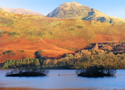
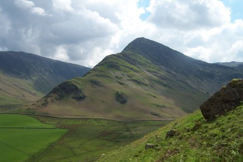
The romantic setting between high fells gives Crummock Water its character. It is somewhat overshadowed by other better known.....
Follow PicturesOfEngland.com on social media and help share the beauty of England....