It offers a panorama of superb views in all directions, and is certainly one of the most magnificent walking areas close to the western fringe of the Lake District National Park...

Boot is one of Lakeland's precious jewels, a charming stone village surrounded by towering scenery which includes two of the regions most scenic waterfalls, the Dalegarth Force and Birker Force...
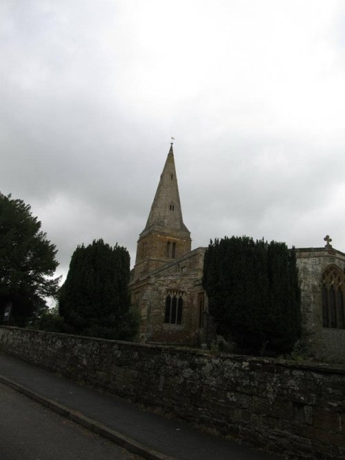
The lovely village of Torver is found in rich countryside beside Coniston Water in England's Lake District National Park...
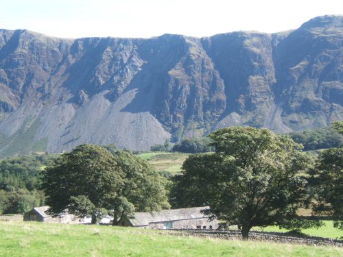
Nether Wasdale lies opposite Wasdale Head at the western fringe of Wast Water...
Special for being the only coastal village within the Lake District National Park, Ravenglass lies where three important rivers converge into the sea...
..
..

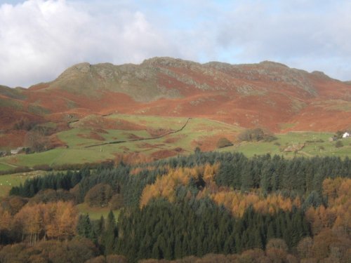
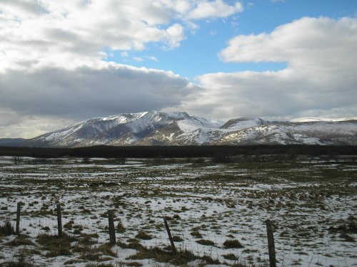
Wast Water is the deepest lake in England at 280 feet deep. The awesome peaks of Sca Fell and Great Gable tower over the wild,.....
This exceptional magical landscape is known as Beatrix Potter Country. For it is here amongst Lakeland's magnificent tarns and.....
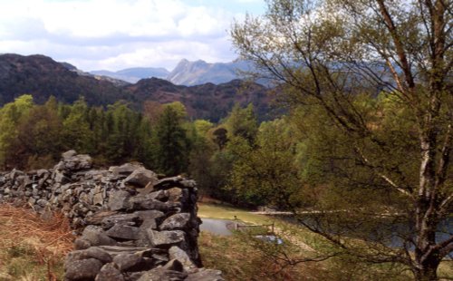
These famous pikes rise loftily above the village of Langdale, whilst below visitors can savour the wild and desolate beauty of.....
I first saw the Lake District many years ago, when for eight out of my eleven day sojourn, it rained, and rained! None-the-less,.....
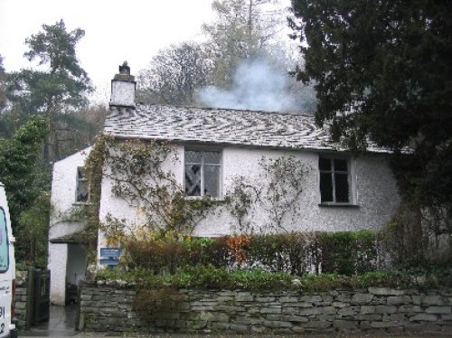
Dove cottage in the Lake District is the former home of the poet William Wordsworth and is where he wrote much of his famous.....