Please login or click here to join.
Forgot Password? Click Here to reset pasword
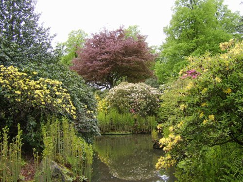
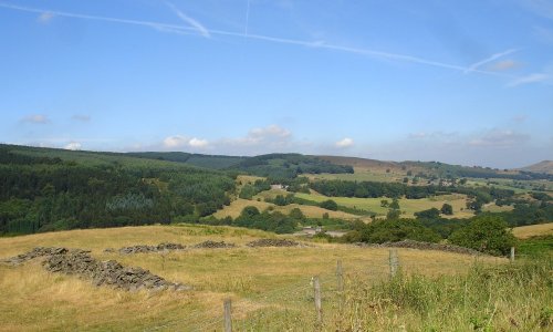
If you would like to add a description of Broken Cross, please use our Broken Cross forum here. To upload your Broken Cross photography and create your very own 'Pictures of England Gallery', click here or here to join the site and become part of the Pictures of England community, or simply see below for nearby recommended towns, attractions, and Broken Cross accommodation.
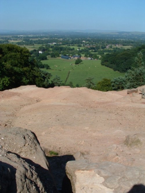
Alderley Edge is a popular tourist spot in the county of Cheshire, consisting of a prominent 'edge' or sandstone ridge which is popular with walkers and offers stunning views. You.....
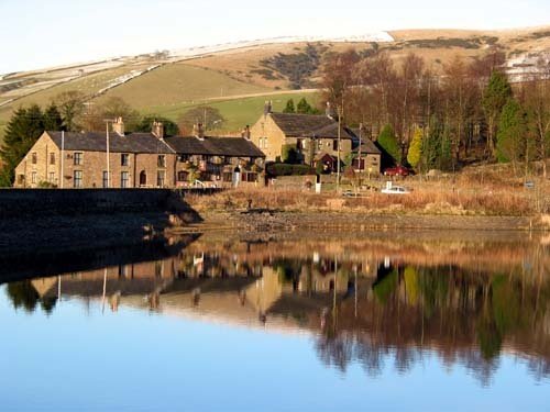
An attractive small town in the High Peak district of Derbyshire...
This barely spoilt town offers an exciting opportunity to enjoy a town crammed with beautiful buildings whilst exploring the high upland regions of England's glorious Peak District National Park...
Marple has many splendid canal features from the past, these include a flight of 16 locks and a three arched aqueduct which takes the Peak Forest canal over the River Goyt...
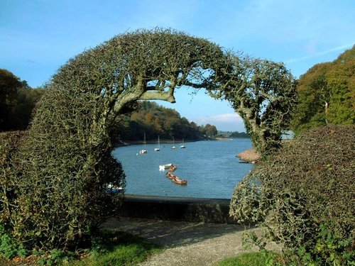
A pretty village with a delightful cluster of cottages and houses with lovely gardens, bordered by woods at the south end of the picturesque Rudyard Reservoir...

Tegg's Nose Country Park comprises mainly of wild untamed countryside high above Macclesfield. It offers nature lovers many.....
Dating form the 18th Century and standing in beautiful surroundings, on the edge of Macclesfield Forest Reservoir, this stone.....
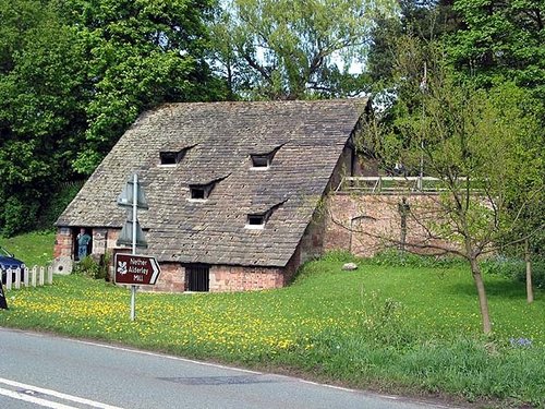
A fascinating and unusual watermill dating from the 15th century..
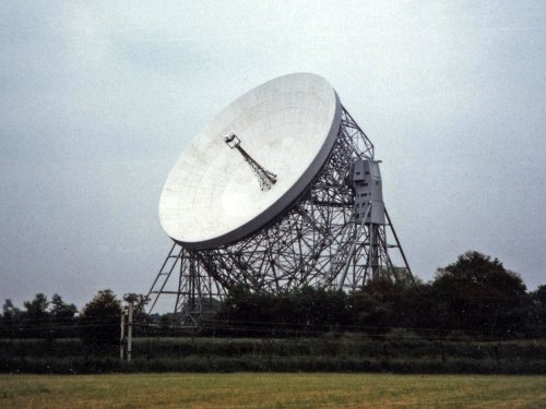
For over 40 years the giant Lovell Telescope at Jodrell Bank has been a familiar feature of the Cheshire landscape and an.....

At restored Quarry Mill the air hangs heavy with the atmosphere of the Victorian people of Wilmslow who spent their days toiling.....
Set amidst the grandeur of the high Peaks amongst softly rolling countryside of undisputed splendour is the magnificent house.....
Goyt's Moss lies in the wild and beautiful Goyt Valley, its steep slopes sweep down into the tranquil waters of the Fernlee.....
Follow PicturesOfEngland.com on social media and help share the beauty of England....
