For over 40 years the giant Lovell Telescope at Jodrell Bank has been a familiar feature of the Cheshire landscape and an internationally renowned landmark in the world of astronomy.
Since the summer of 1957 it has been quietly probing the depths of space, a symbol of our wish to understand the universe in which we live. Even now, it remains one of the biggest and most powerful radio telescopes in the world, spending most of its time investigating cosmic phenomena which were undreamed of when it was conceived.
http://www.jb.man.ac.uk
a Picturesque Village in the county of Cheshire
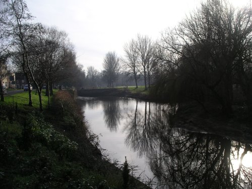
(5.4 miles, 8.7 km, direction NE)Alderley Edge is a popular tourist spot in the county of Cheshire, consisting of a prominent 'edge' or sandstone ridge which is popular with walkers and offers stunning views. You.....
in the county of Staffordshire
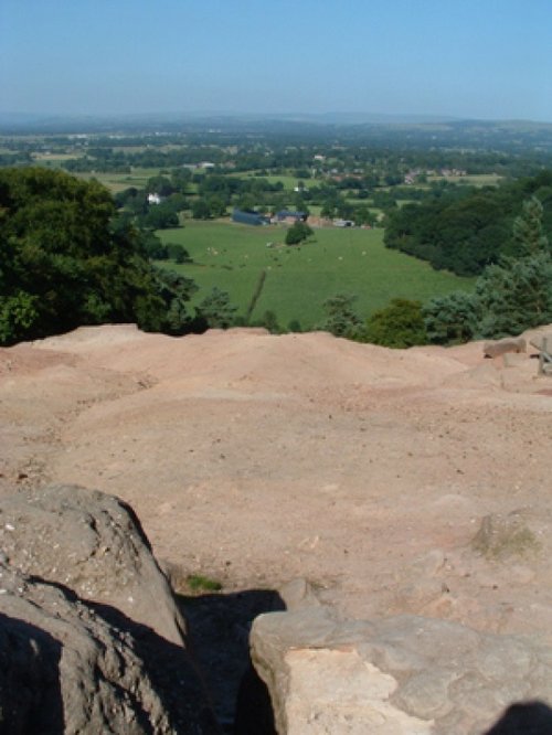
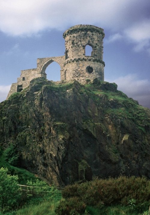
(9.7 miles, 15.6 km, direction SE)The sheer scale of the height of this village with the quaint sounding name has made it famous, for it is believed that on a clear day the hill is visible to no less than five counties...
a Historic Market Town in the county of Greater Manchester
(10.8 miles, 17.3 km, direction N)First developed as a quiet hamlet on the edge of the sweeping Cheshire Plain, where life went quietly on...
a Picturesque Village in the county of Cheshire
(12.3 miles, 19.7 km, direction NW)The picturesque village of Lymm is situated in the the county of Cheshire, England, and was mentioned in the Doomsday book of 1086. It's name is of Celtic origins and means "Place.....
in the county of Staffordshire
(12.8 miles, 20.6 km, direction SE)A pretty village with a delightful cluster of cottages and houses with lovely gardens, bordered by woods at the south end of the picturesque Rudyard Reservoir...
All towns in Cheshire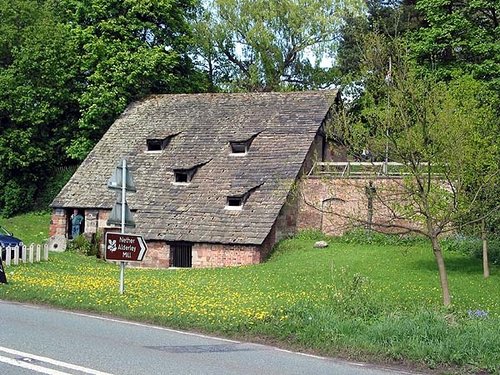
A fascinating and unusual watermill dating from the 15th century..
..
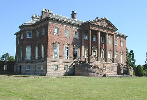
A day at Tatton Park has much to offer, its two historic houses, the Mansion and Tudor Old Hall, are set in 1000 acres of.....

Little Moreton Hall is without doubt the finest example of timber-framed architecture in England. The building overflows with.....

At restored Quarry Mill the air hangs heavy with the atmosphere of the Victorian people of Wilmslow who spent their days toiling.....
Follow PicturesOfEngland.com on social media and help share the beauty of England....