Pictures of Doncaster
About Doncaster
Doncaster lies in what was once a great sweep of Yorkshire coalfields. It is home to one of the finest racecourses in the country where the classic St.Leger Stakes has been run each September since 1776, making the race four years older than the Derby.
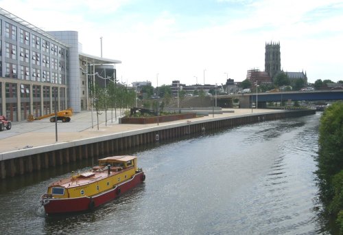
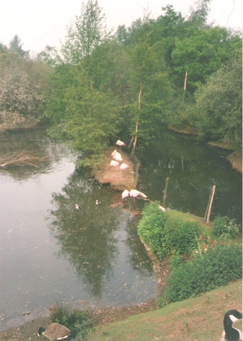
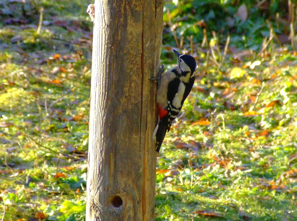
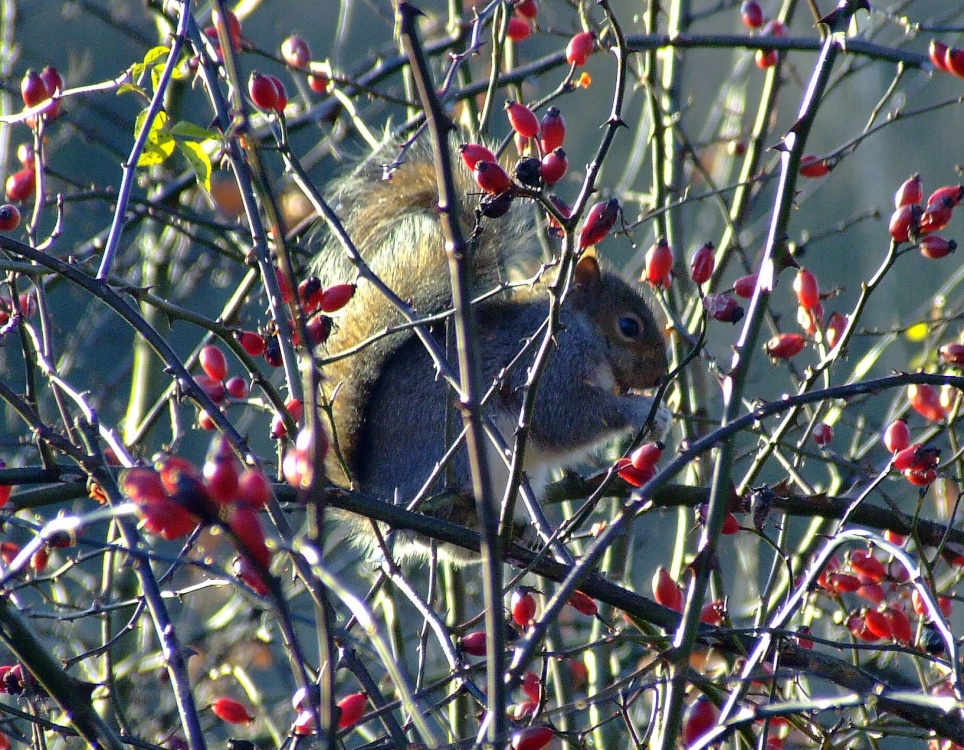
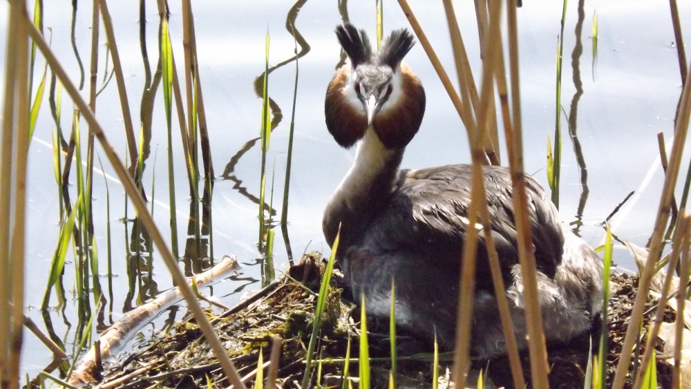
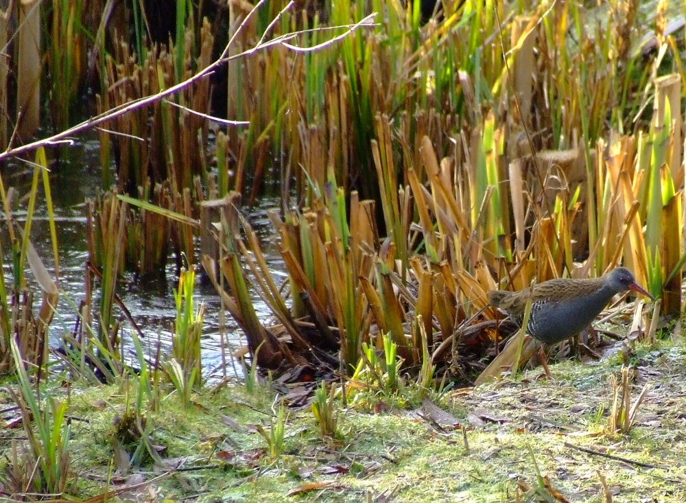
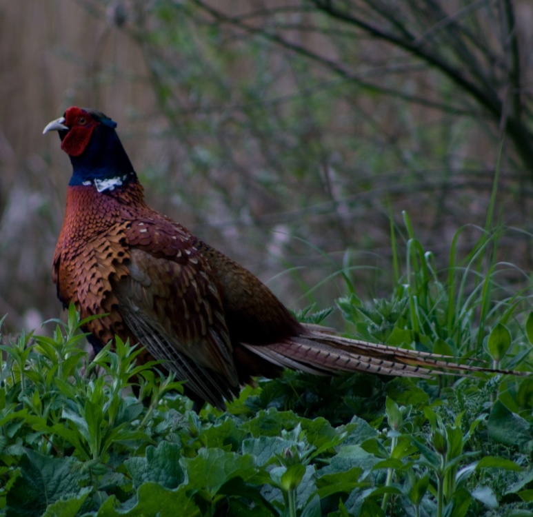
The town developed at the side of the River Don, a hub of the inland waterway system which is lively with all types of sailing craft, it is popular for fishing and for studying the natural life of the water, including swans, ducks and moorhens. Sometimes in the morning mist there is the odd heron to be seen, and the reeded bushes along some of the tow paths provide a habitat for several species of wildlife.
Doncaster can trace its history back to the Romans and possibly beyond. It is known the Romans built fortifications here about 71AD. When the Romans left Britain, they were followed by the Saxons and the Normans, and by the 12th century Doncaster had become a busy market town with a charter presented by King Richard in 1194. During the 13th and 14th centuries several religious orders set up in the town, these were mainly monastic, consisting of Franciscan friars and an order of Carmelites.
By the time of the 17th/18th centuries the town had become a significant coaching town with numerous coaching inns providing sanctuary for travellers and a resting place for horses. Doncaster as a centre for travellers was able to expand more rapidly when the rail-line reached the town in 1849. This brought greater opportunities for the transportation of goods, and gave the population the option of speedier travel to places previously out of reach. When the Great Northern Railway moved its engine works to the town, not only did it become the major employer in the area, but it brought greater prosperity. Interestingly, this is the town that built the famous Flying Scotsman, and in 2003 she returned to Doncaster for a face lift and a fresh coat of paint before going on show to celebrate 150 years of rail in Doncaster. Another feature of Doncaster is Butterscotch, this succulent sweetmeat has been made in the town since early in the 20th century.
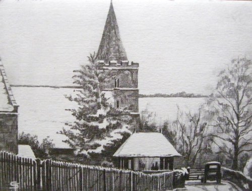
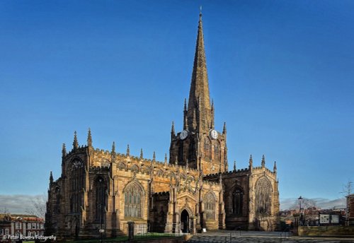
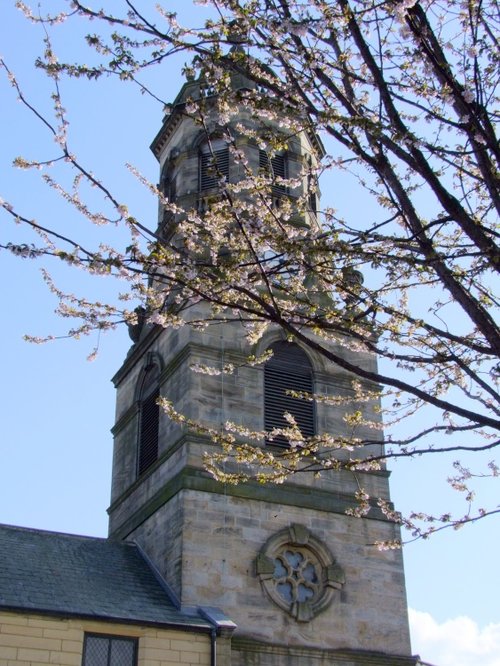
Looking around Doncaster you cannot fail to see the 170 ft, many pinnacled tower of St.George's Church, for this serves as a gracious landmark seen from most parts of the town. The church replaces an earlier medieval church gutted by fire in 1852. The new church, designed by Sir Gilbert Scott was completed for dedication in 1858.
Doncaster Museum and Art Gallery opened in 1909, this is a mine of information relating to the town's Roman period. It has displays of Roman ornaments, and from Saxon times there is a variety of weapons and 300 million year old fossils.
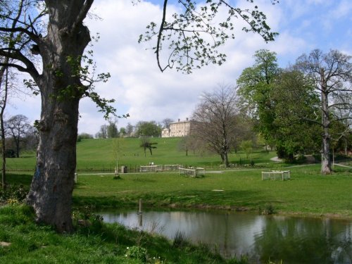
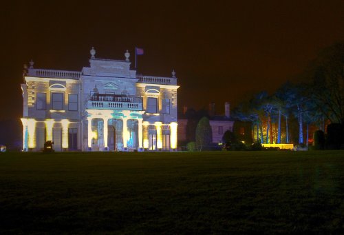
The town has many attractive Victorian and Edwardian buildings remaining from its most illustrious periods. Included in these is Cusworth Hall, an imposing 18th century house set in magnificent parkland which was once the home of the Battie-Wrightson family. It also has plenty of tourist attractions, amongst these is Aero-Venture based at the former site of RAF Doncaster. This is singularly atmospheric with a treasure trove of aviation history, military and commercial light aircraft collections, and a jet engine collection including De Havilland Ghost, Rolls Royce Avon and Conway. You can be entertained by a WWII front exhibition and amongst other things, see aircraft under reconstruction. Several cockpits are left open for you to get a feel of what it might be like to be a "real" pilot, this is especially thrilling for children.
Doncaster's 18th century Mansion House contains an ornate banqueting hall, and a wide staircase with a handsome wrought iron balustrade. Inside it contains many treasures, these are usually on show on any one of the Mansion House open days held during the summer.
For anyone wishing to explore on foot there are town trails taking you to see the most historic and scenic parts of Doncaster. There is Theatre and Cinema, the Arndale Centre provides excellent shopping, and at the heart of Doncaster visitors will find cafe's, pubs, clubs, multi-cultural restaurants and the usual mix of take-a-ways.
The tradition of welcome which has existed since Doncaster was a coaching town in the 17th century continues to this day and visitors will find no shortage of hospitable accommodation, this includes hotels to suit all tastes, guest houses and bed and breakfast.