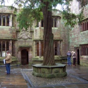
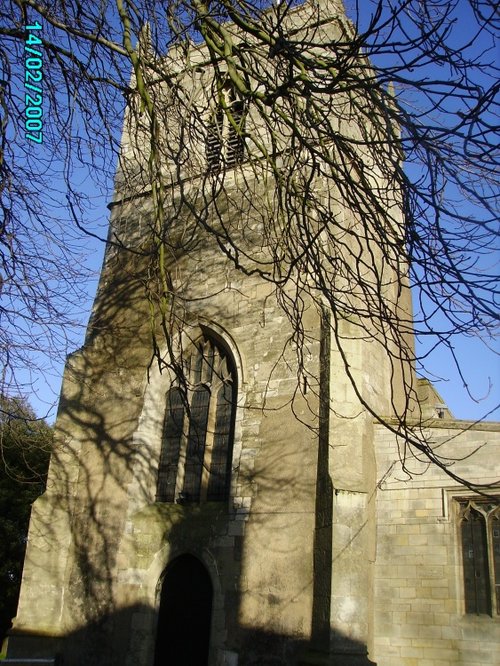
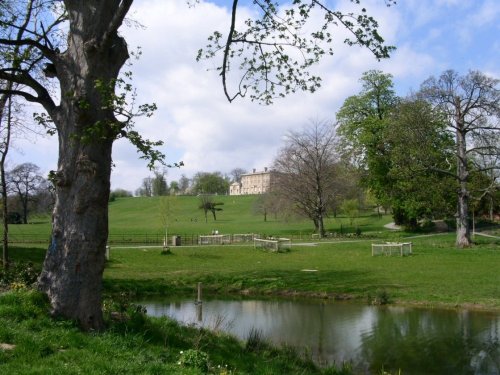
The evocative remains of Roche Abbey rising from a landscape laid out by Capability Brown present an awe-inspiring sight, especially what is left of the church, for amazingly these walls almost reach what was once their full height, dwarfing the remainder of the abbey layout.
Visitors to the building are often overwhelmed at the loneliness of the countryside in which the abbey sits, but are impressed with the towering walls showing graceful French-influenced early Gothic architecture from when Roche Abbey was first established as a Cistercian monastery over 800 years ago.
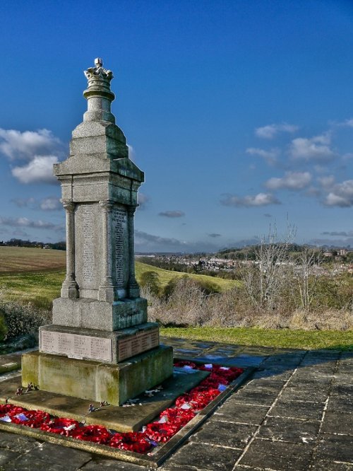
The ruins can be found close to the small rural Yorkshire town of Maltby, around seven miles away from Rotherham.
in the county of South Yorkshire
(1.6 miles, 2.6 km, direction NW)The town was mentioned in the Doomsday Book, and several historic properties can be found in the region from shortly after this time, of these, of particular note are the handsome ruins of Roche Abbey, a Cistercian foundation of 1147...
in the county of Nottinghamshire
(6.9 miles, 11.1 km, direction S)The dense spread of Worksop in Nottinghamshire meets with some seriously picturesque countryside, it is fortunate to be ringed by two rivers, the Clumber which borders Clumber Country Park, and the River Ryton...
in the county of South Yorkshire
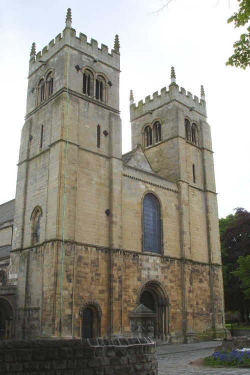
(7.7 miles, 12.4 km, direction W)This town was formerly a Saxon market town which remained largely unaltered until the Industrial Revolution...
in the county of South Yorkshire
(8.5 miles, 13.7 km, direction N)Doncaster lies in what was once a great sweep of Yorkshire coalfields. It is home to one of the finest racecourses in the country where the classic St.Leger Stakes has been run each September since 1776, making the race four years older than the Derby...
in the county of Nottinghamshire
(11.8 miles, 18.9 km, direction E)This charming hill-top village lies in spacious countryside close to the Chesterfield Canal. It shows an abundance of picturesque red-brick properties including out lying farms with ancient barns and dovecotes...
All towns in South Yorkshire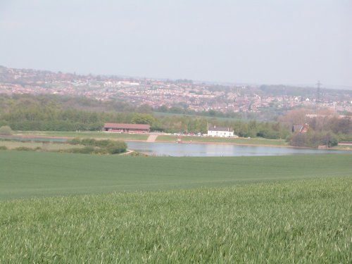
Thrybergh Country Park evolved out of Thrybergh Reservoir built in the 1800's to supply the borough of Doncaster with water. .....
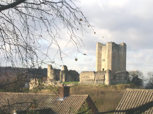
The dilapidated ruins of Conisbrough Castle make an impressive sight, particularly its keep, which is unusual in design. The.....
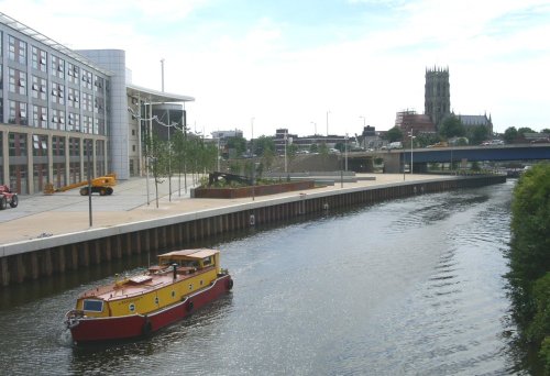
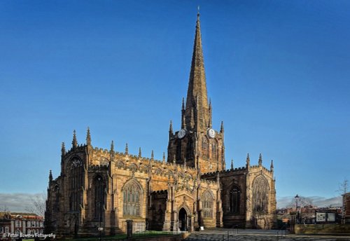
St.Georges is the Minster Church of Doncaster. It was built to a design by Sir Gilbert Scott, architect, who was instructed to.....
Cusworth Hall is a mid 18th century house built for the Wrightson family, with wings added later by James Paine. The house.....
..
Follow PicturesOfEngland.com on social media and help share the beauty of England....