Pontefract has a ruined castle which has seen many tragedies, Richard II was murdered there in 1400, and later it was the scene of bitter, bloody battles between Roundheads and Royalists...
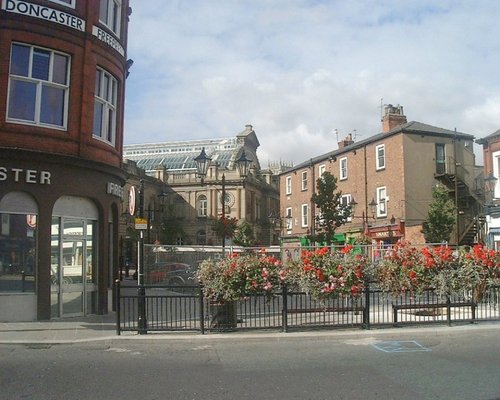
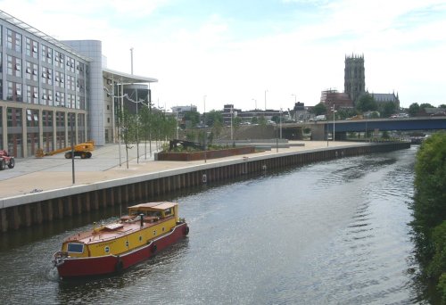
Doncaster lies in what was once a great sweep of Yorkshire coalfields. It is home to one of the finest racecourses in the country where the classic St.Leger Stakes has been run each September since 1776, making the race four years older than the Derby...
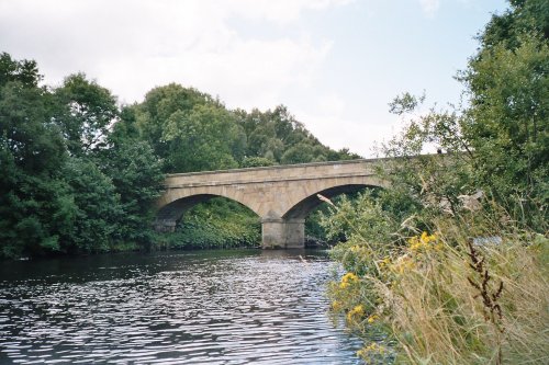
Tadcaster has been at the centre of the Brewing industry since the 18th century, and today breweries remain conspicuous on its landscape...

One of the most historic cities in Britain with overs 2000 years of history.....
Wakefield was the capital of Yorkshire's woollen industry for more than 700 years, it was an important weaving and dying centre as far back as the 13th century...
..
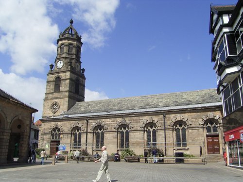
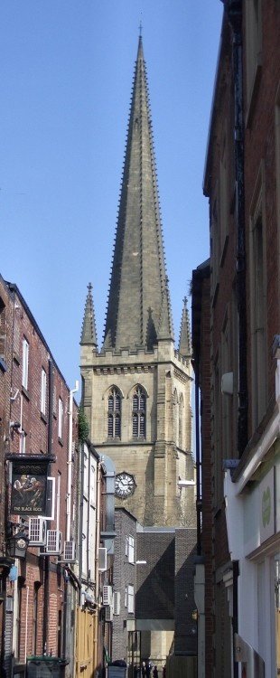
St.Georges is the Minster Church of Doncaster. It was built to a design by Sir Gilbert Scott, architect, who was instructed to.....
..
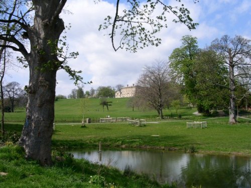
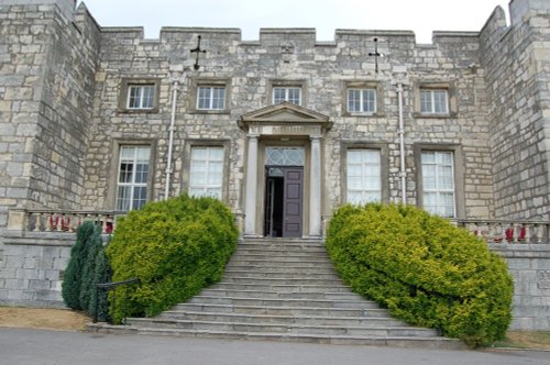
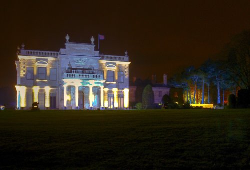
Cusworth Hall is a mid 18th century house built for the Wrightson family, with wings added later by James Paine. The house.....
..
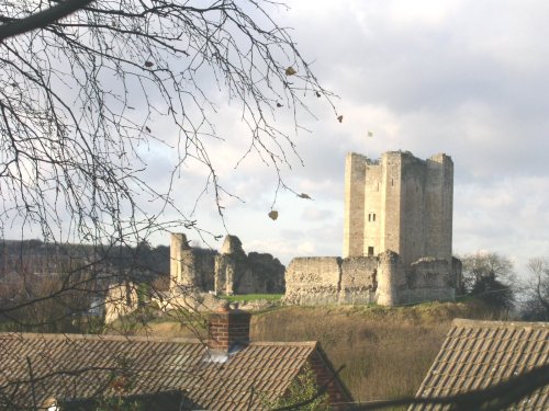
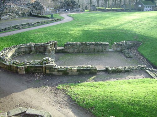
The dilapidated ruins of Conisbrough Castle make an impressive sight, particularly its keep, which is unusual in design. The.....
This fascinating museum offers a lively and interesting day out for every member of the family. The museum is housed in an.....
Follow PicturesOfEngland.com on social media and help share the beauty of England....