Please login or click here to join.
Forgot Password? Click Here to reset pasword
The town was mentioned in the Doomsday Book, and several historic properties can be found in the region from shortly after this time, of these, of particular note are the handsome ruins of Roche Abbey, a Cistercian foundation of 1147...
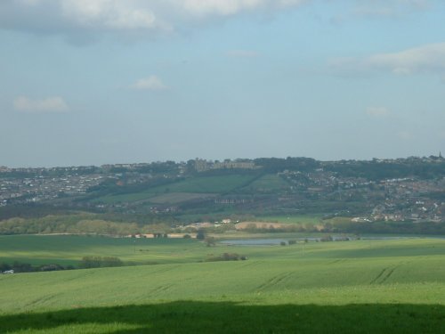
Bolsover is a small town lying 5 miles east of Chesterfield. It occupies a picturesque valley setting, watched over by 17th century Bolsover Castle which stands on the site of a former fortress of Norman times...
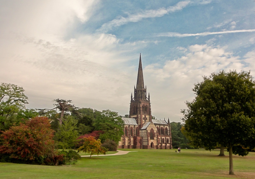
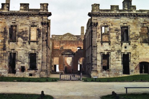
This is a village noted for the romantic ruins of what was once one of the grandest houses in Derbyshire...
This charming hill-top village lies in spacious countryside close to the Chesterfield Canal. It shows an abundance of picturesque red-brick properties including out lying farms with ancient barns and dovecotes...
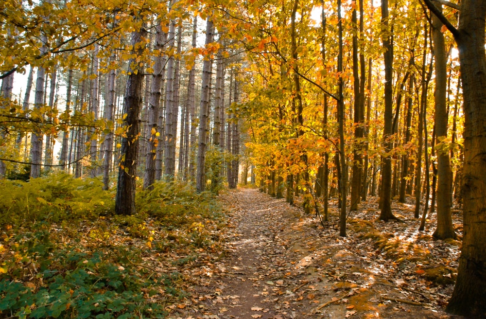
This town was formerly a Saxon market town which remained largely unaltered until the Industrial Revolution...
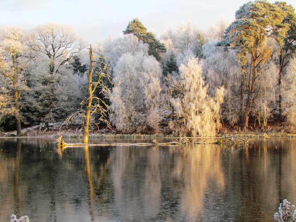
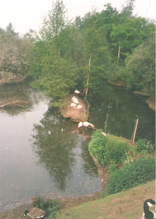
The peaceful landscape of this delightful country park gives visitors lovely summer memories of time spent ambling around.....
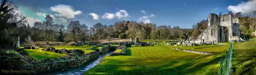
The evocative remains of Roche Abbey rising from a landscape laid out by Capability Brown present an awe-inspiring sight,.....
..
The early morning sun streams down on a piece of Derbyshire's proud heritage, as into view come the magnificent ruins of Bolsover.....
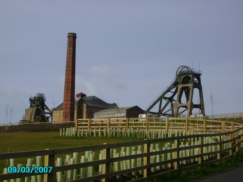
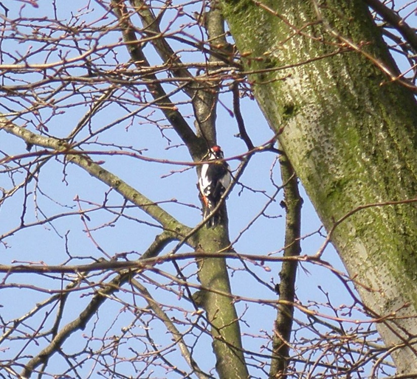
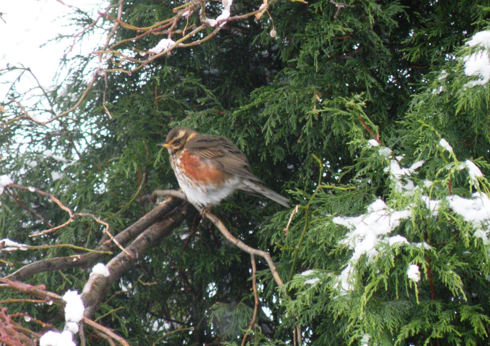
Pleasley Pit Country park is a reclaimed colliery site, which now offers nature lovers the chance to see record numbers of.....
..
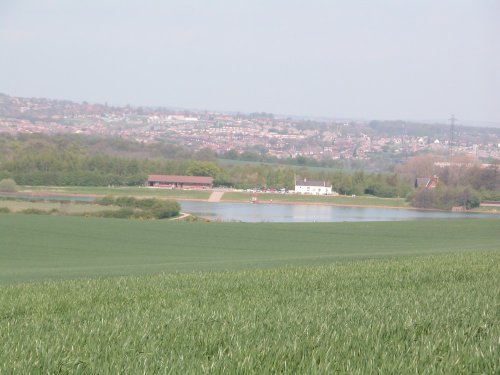
Thrybergh Country Park evolved out of Thrybergh Reservoir built in the 1800's to supply the borough of Doncaster with water. .....
Follow PicturesOfEngland.com on social media and help share the beauty of England....