Please login or click here to join.
Forgot Password? Click Here to reset pasword
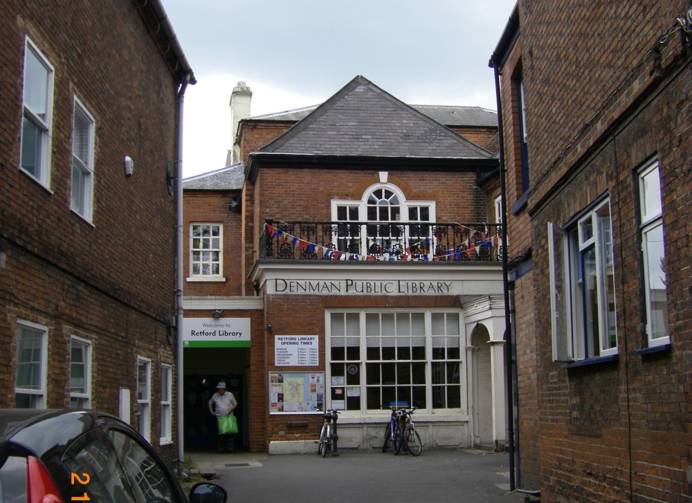
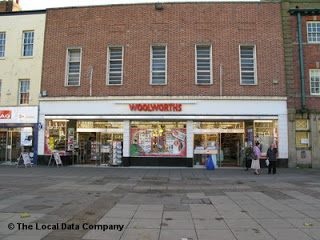
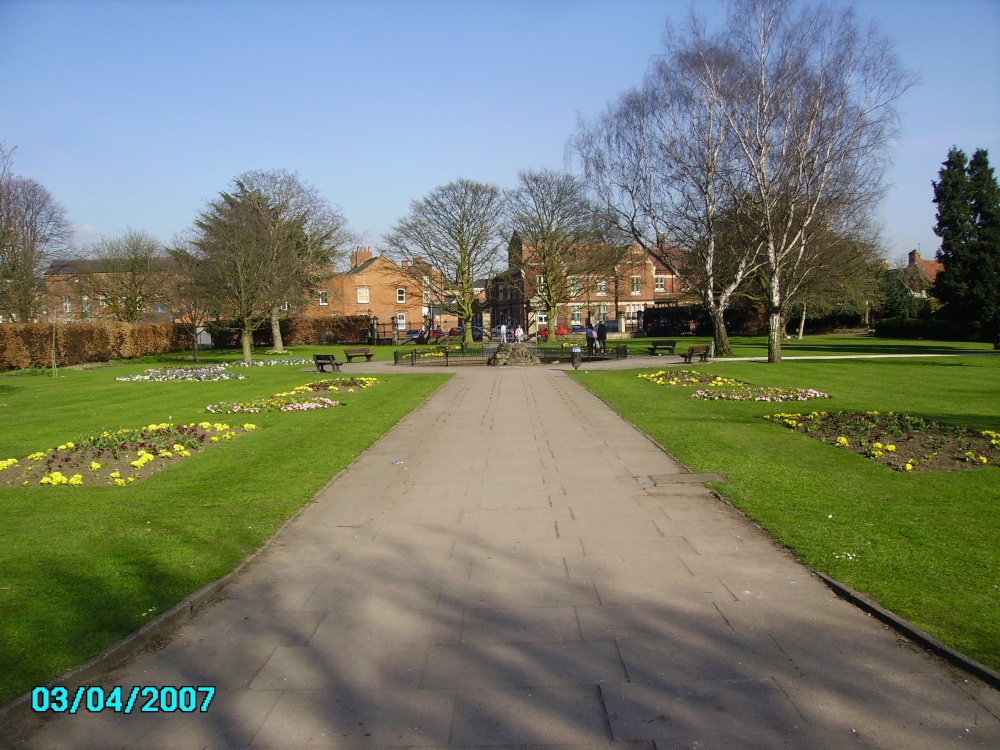
If you would like to add a description of Retford, please use our Retford forum here. To upload your Retford photography and create your very own 'Pictures of England Gallery', click here or here to join the site and become part of the Pictures of England community, or simply see below for nearby recommended towns, attractions, and Retford accommodation.
This charming hill-top village lies in spacious countryside close to the Chesterfield Canal. It shows an abundance of picturesque red-brick properties including out lying farms with ancient barns and dovecotes...
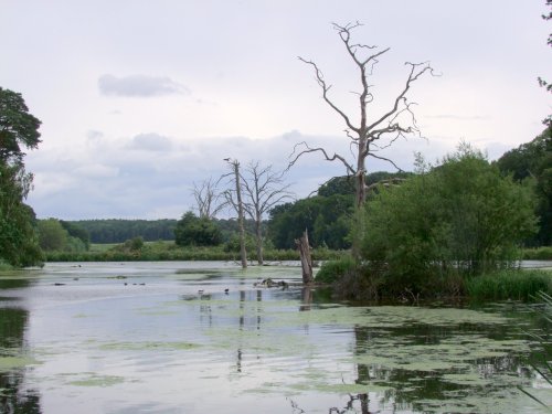
The dense spread of Worksop in Nottinghamshire meets with some seriously picturesque countryside, it is fortunate to be ringed by two rivers, the Clumber which borders Clumber Country Park, and the River Ryton...
The lovely market town of Gainsborough flourishes along a sweep of the River Trent which opens up pleasant riverside walks revealing much of the areas flora and fauna as well as interesting pieces of modern sculpture...
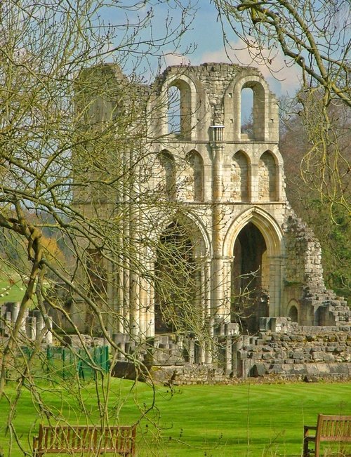
The town was mentioned in the Doomsday Book, and several historic properties can be found in the region from shortly after this time, of these, of particular note are the handsome ruins of Roche Abbey, a Cistercian foundation of 1147...
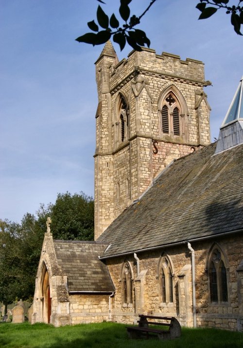
This is a large village lying around three miles from Lincoln which is fringed by the Fosdyke Navigation. Visitors will find a few shops, pubs and an interesting Anglican church...
..
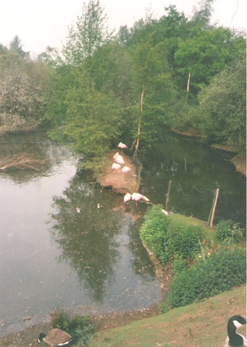
The peaceful landscape of this delightful country park gives visitors lovely summer memories of time spent ambling around.....

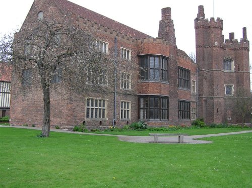
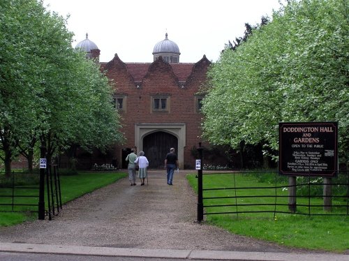
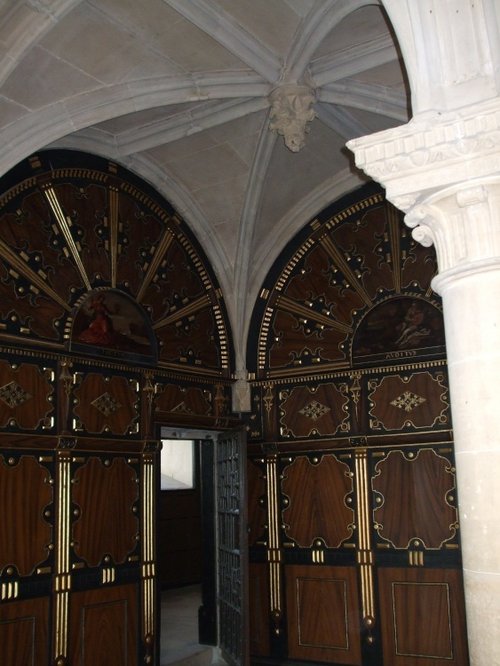
Gainsborough Old Hall is one of the largest and most outstanding surviving examples of a late medieval house in the country. It.....
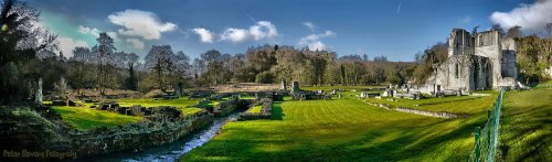
The evocative remains of Roche Abbey rising from a landscape laid out by Capability Brown present an awe-inspiring sight,.....
This is a superb, large Elizabethan house with a truly impressive roofline. It was built in around 1600 by Robert Smythson, with.....
The early morning sun streams down on a piece of Derbyshire's proud heritage, as into view come the magnificent ruins of Bolsover.....
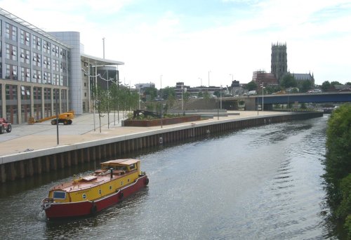
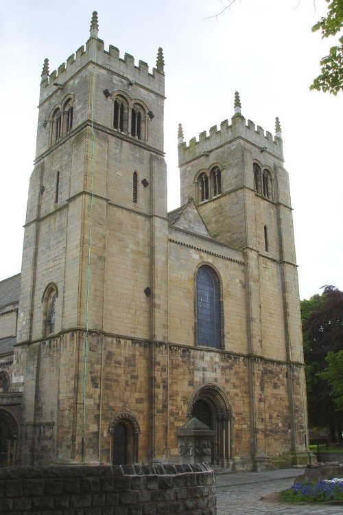
St.Georges is the Minster Church of Doncaster. It was built to a design by Sir Gilbert Scott, architect, who was instructed to.....
Follow PicturesOfEngland.com on social media and help share the beauty of England....