Please login or click here to join.
Forgot Password? Click Here to reset pasword
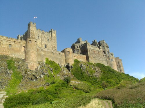
Bamburgh, is known as the ancient capital of the Northumbrian coast and it is home to probably the finest Castle in England...

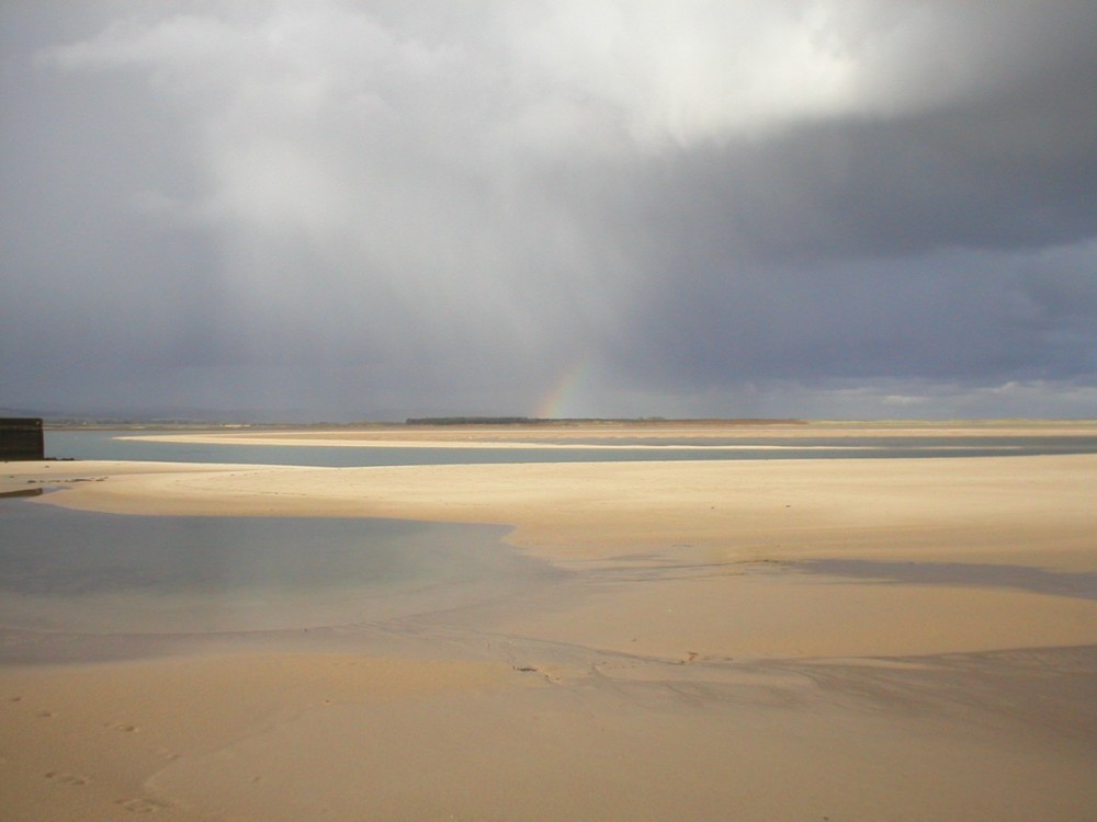
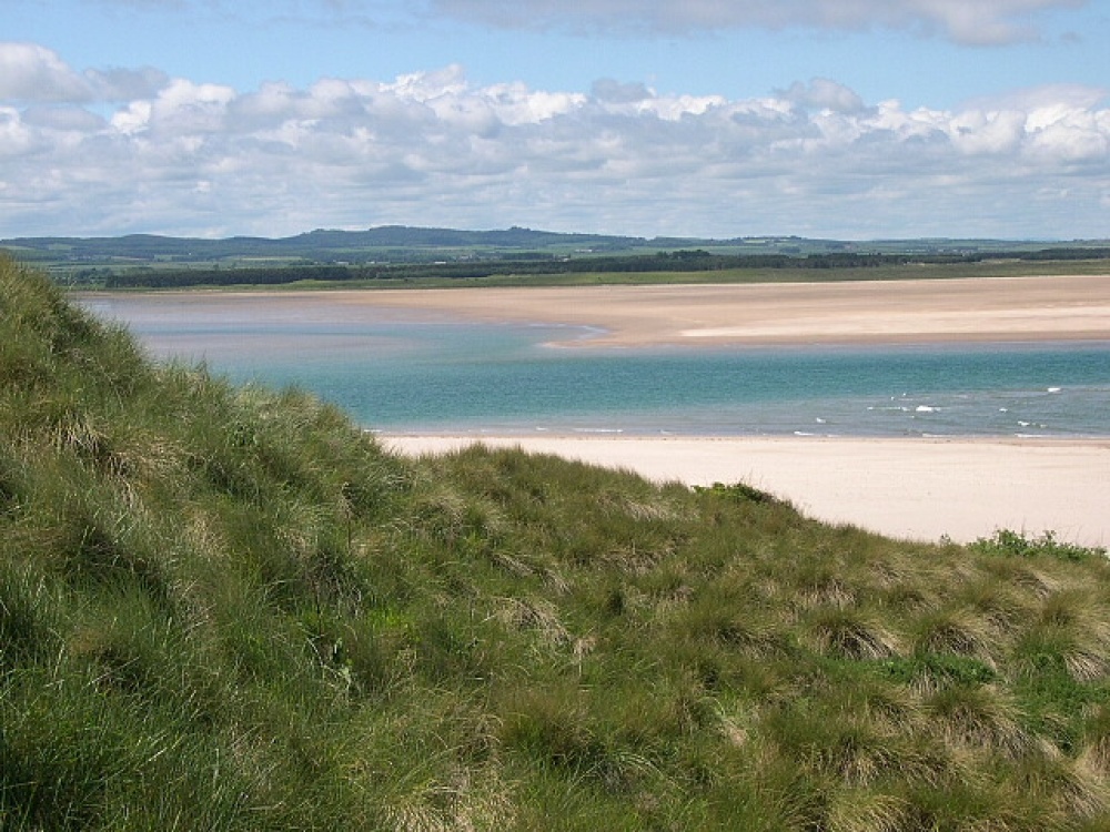
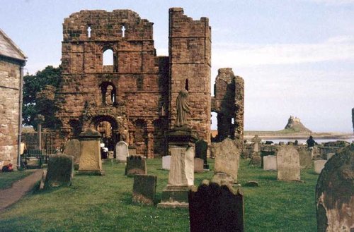
Holy Island lies close to Beal and is reached - tides permitting - by a causeway...

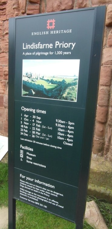
Each day for several hours the beautiful island of Lindisfarne is cut off by the tide from the mainland. Tide permitting it can be reached via a causeway, otherwise it is reached.....
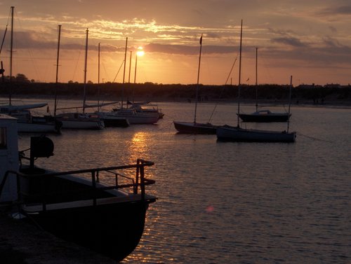
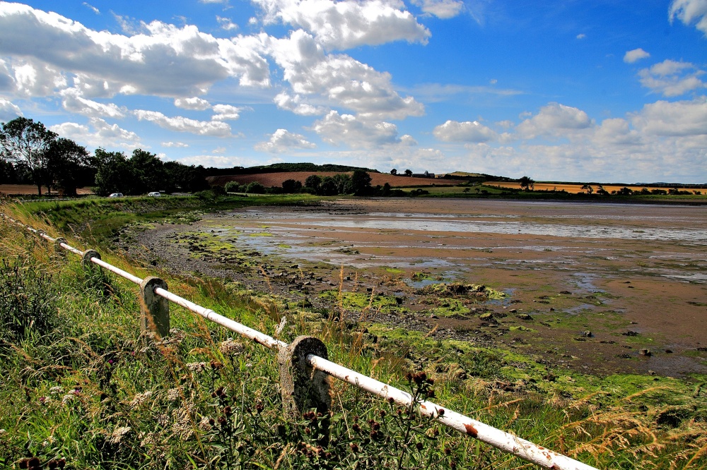
On this coast of sheer perfection, amongst timeless coastal villages, lies Beadnell an historic fishing village...
Here in these high upland regions you feel immediately relaxed, at ease and although Wooler bustles with life, it has a timeless quality where you feel a world away from civilisation...
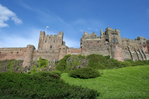
Bamburgh's huge Norman castle was once the seat of the Kings of Northumbria. It is set on a Basalt outcrop overlooking the.....

Lindisfarne Castle is a small castle set on a rock high above the sea. It is reached via an ancient causeway and is only.....

Rocky islands, once home to saints, soldiers and famous lighthouse keepers, now a sanctuary for seabirds and seals, and one of.....
The strange, mystic atmosphere of Lindisfarne remains evocative of the time when holy men trod its shores rather than the birds.....
The strange, mystic atmosphere of Lindisfarne remains evocative of the time when holy men trod its shores rather than the birds.....
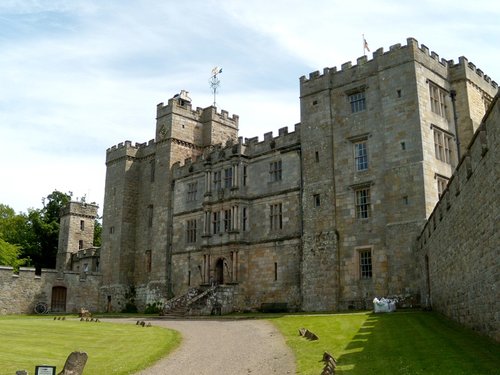
Set within romantic grounds, the splendour of Chillingham Castle is matched only by the dramatic grandeur of the surrounding.....
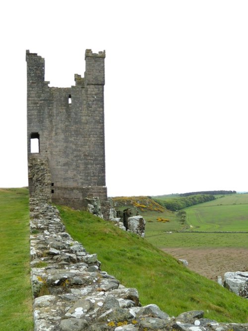
The romantic remains of this once extensive castle stand high on a cliff above the waters of the North Sea. The castle was begun.....
Follow PicturesOfEngland.com on social media and help share the beauty of England....