Please login or click here to join.
Forgot Password? Click Here to reset pasword

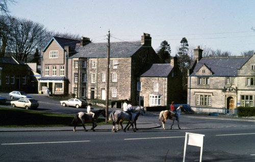
a Picturesque Village in the county of Northumberland
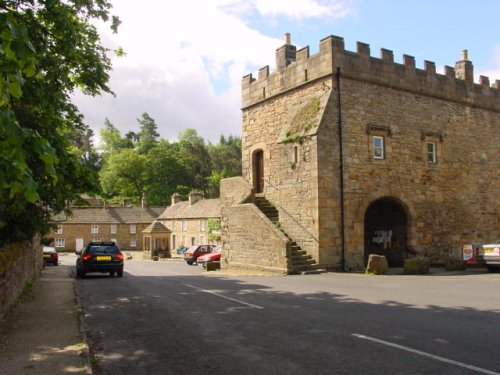
(3.1 miles, 5.0 km, direction W)Blanchland is a small picturesque village nestled beside the river in the Derwent Valley within the North Pennines Area Of Outstanding Natural Beauty. It is surrounded by.....
a Picturesque Village in the county of Northumberland
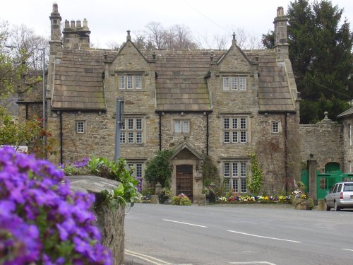
(8.5 miles, 13.8 km, direction N)Located in Northumberland, Corbridge is a historic market town with Roman connections. It features charming streets, historic buildings, and the Corbridge Roman Town archaeological site...
a Historic Market Town in the county of County Durham
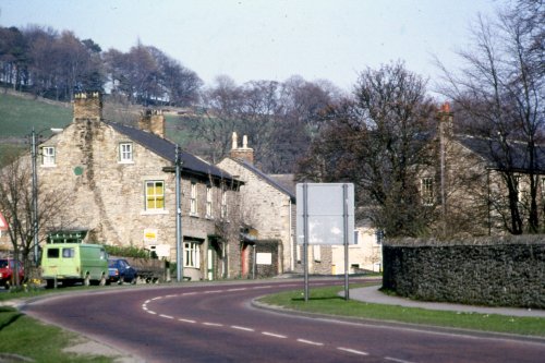
(9.0 miles, 14.5 km, direction S)This is a lovely village lying on the edge of the North Pennines in an area of great scenic beauty. It is a wild and beautiful landscape dotted only by scattered farms with meadows full of grazing sheep and cattle...
a Historic Market Town in the county of Northumberland
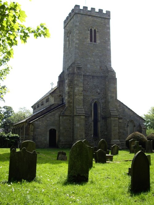
(10.0 miles, 16.1 km, direction NW)Historic market town where for centuries the sheep and cattle farmers of Northumberland gathered for the Tuesday market beside Hexham Abbey...
a Picturesque Village in the county of Northumberland
(11.6 miles, 18.6 km, direction W)This picturesque Northumberland village enjoys a lovely location in the fine hill and dale countryside of the beautiful East Allen Valley...
All towns in Northumberland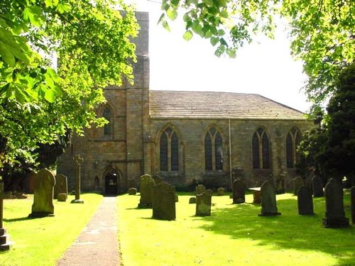
Blanchland Abbey was founded as a priory in 1165 by Walter de Bolbec II, and became an abbey in the late 13th century. The.....

Hexham Abbey is a refoundation of a church which stood on this spot in the year 675, it survived until 821, later the town was.....
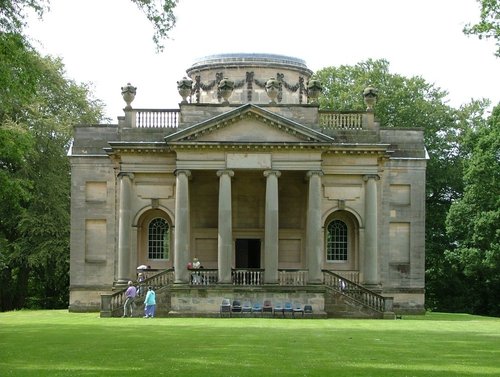
Gibside is famous for the sedate historic estate set at the heart of the outstandingly beautiful Derwent Valley. The estate was.....
..
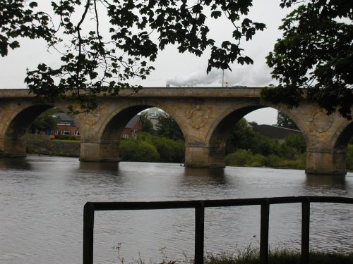
This lovely scenic valley lies between the town of Bishop Auckland, seat of princes of the church and the charming market town of.....
Follow PicturesOfEngland.com on social media and help share the beauty of England....