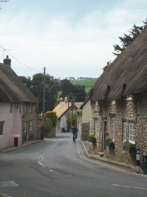
This is Upper Wharfdale's principle village. It is a place of quiet charm with a lovely old bridge spanning the River Wharfe and cobbled lanes with pretty stone cottages descending towards the attractive village square...
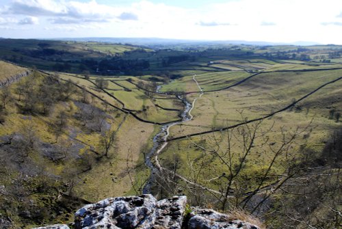
High on the moors and dales of Yorshire, lies the wild and desolate place of Malham....
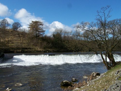
Aysgarth is a small village in the Yorkshire Dales known for its beautiful waterfalls on the River Ure. It's a perfect destination for nature lovers, with picturesque walks and charming countryside...
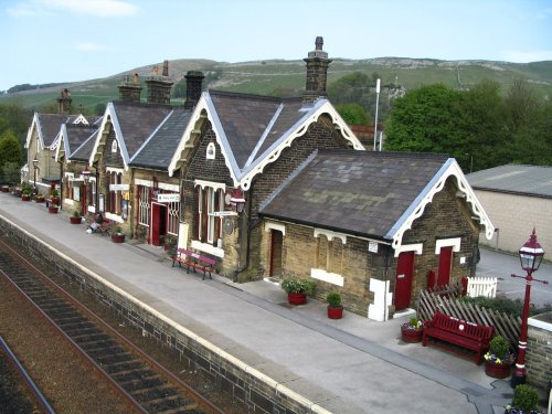
A wonderful market town in the Yorkshire Dales. Settle is the starting point for the famous Settle to Carlisle Railway; one of Britain's most spectacular and scenic railways which.....

Bainbridge is the epitome of a typical Dales village, it comprises of picturesque old stone cottages, with a lively, well quarried stream running through it...
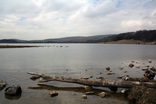
Malham Tarn is a lake in the Yorkshire Dales National Park which inspired English novelist Charles Kingsley to write the classic.....
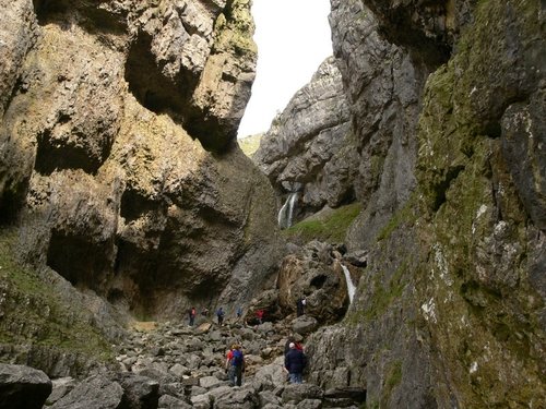
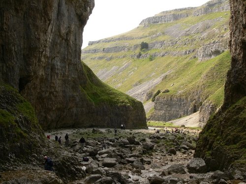
Painted by James Ward, written about by Wordsworth in a sonnet, this dramatic limestone ravine is an essential visit when in the.....
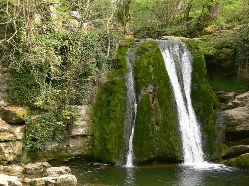
A small picturesque waterfall near the village of Malham and Malham Cove, North Yorkshire. Janet refers to a Fairy Queen who is.....
A natural limestone formation which is a national beauty spot, near Malham, North Yorkshire..

The unyielding screach of a curlew from the skies above, is often the only sound heard in the far upland reaches of the lonely.....
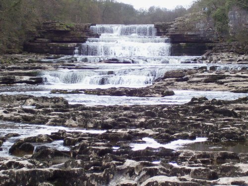
These magnificent falls, although not the highest in the land are certainly one of the most picturesque sights in Yorkshire. The.....
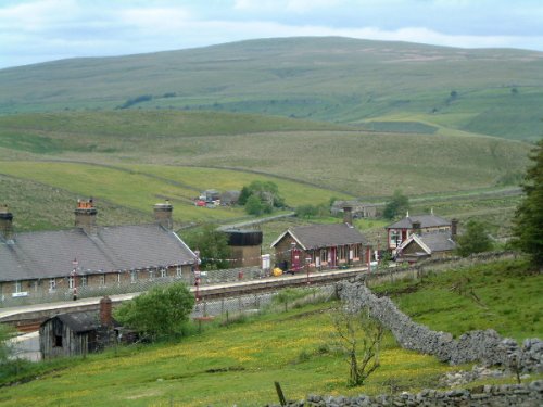
This spectacular train journey could easily be the most scenic train trip in the whole of the UK. The route is part of National.....