Please login or click here to join.
Forgot Password? Click Here to reset pasword
in the county of Norfolk
..
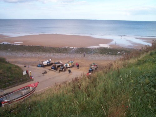
a Seaside Town in the county of Norfolk
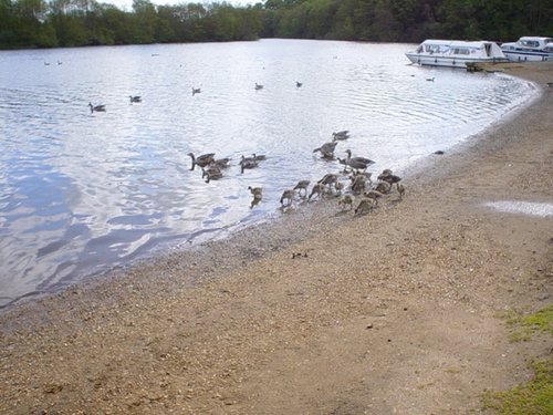
The village is renowned as a haven for wildlife, it is the place to go in winter if you want to see a good migratory flock of Snowbuntings, and other migratory birds who invade the area in vast numbers...
Picturesque Villages in NorfolkHistoric Market Towns in NorfolkAll Norfolk towns & villagesAll towns in England
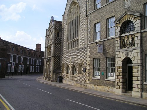
Normally known simply as Castle Rising, the castle has for centuries dominated the quiet village where it stands in a large area.....

..
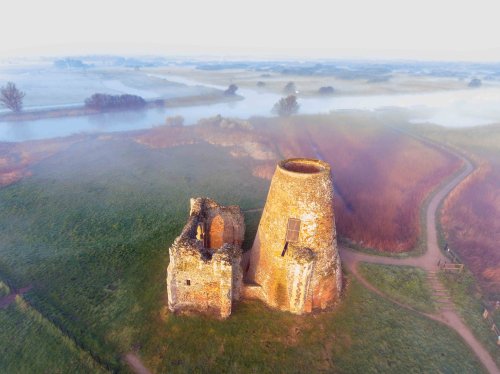
St Benet's was the first Benedictine monastery in Norfolk, and the only monastery in England to survive the Dissolution of the.....
..
All Norfolk AttractionsAll England AttractionsFollow PicturesOfEngland.com on social media and help share the beauty of England....
