If you would like to add a description of East Runton, please use our East Runton forum here. To upload your East Runton photography and create your very own 'Pictures of England Gallery', click here or here to join the site and become part of the Pictures of England community, or simply see below for nearby recommended towns, attractions, and East Runton accommodation.
Famous for delicious Crab for which folk still travel for miles to catch fresh, or buy from the quayside...
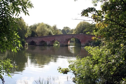
This delightful resort grew up from what was once a small fishing village, some of the old cottages belonging to the fisher-folk of yester-year still survive close to the shore at the far end of the town...
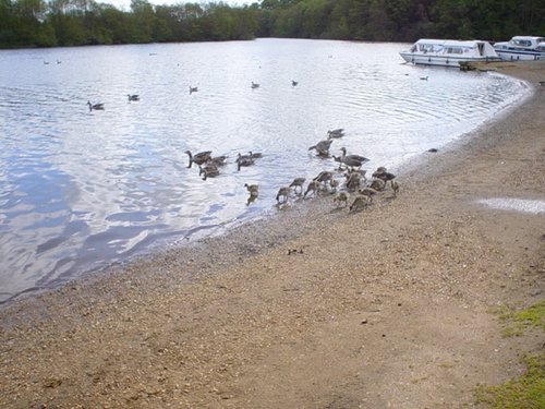
The village is renowned as a haven for wildlife, it is the place to go in winter if you want to see a good migratory flock of Snowbuntings, and other migratory birds who invade the area in vast numbers...
The town is attractive with a delightful mixture of buildings, including timber-frame black and white, it is pleasant for taking a stroll, and The Boulevard is where you can hire a boat or book a trip on the Waveney...
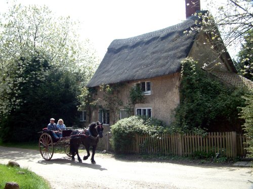
This is a village that is used to publicity, it has been the setting for numerous films including The Go-Between, made in 1970 starring Alan Bates and the beautiful Julie Christie...
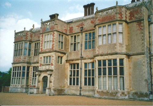
Felbrigg Hall is an outstanding Jacobean house built in about 1620, with a later west front in the William and Mary style. .....
..
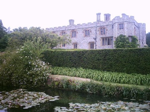
This stunning Jacobean mansion was spawned from Hatfield House which belonged to the powerful Cecil family. Both buildings were.....
..
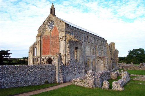
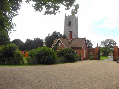
Binham Priory is thought to have been built during the 12th-century by Pierre de Valoines a nephew of William the Conqueror. The.....
..
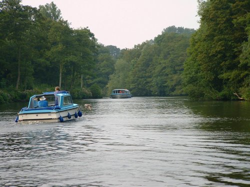
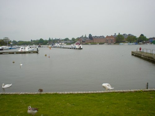
A trip to the Norfolk Broads is to experience a little bit of paradise where the most beautiful sound, is the sound of silence......
Follow PicturesOfEngland.com on social media and help share the beauty of England....