Please login or click here to join.
Forgot Password? Click Here to reset pasword
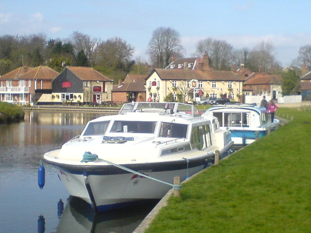
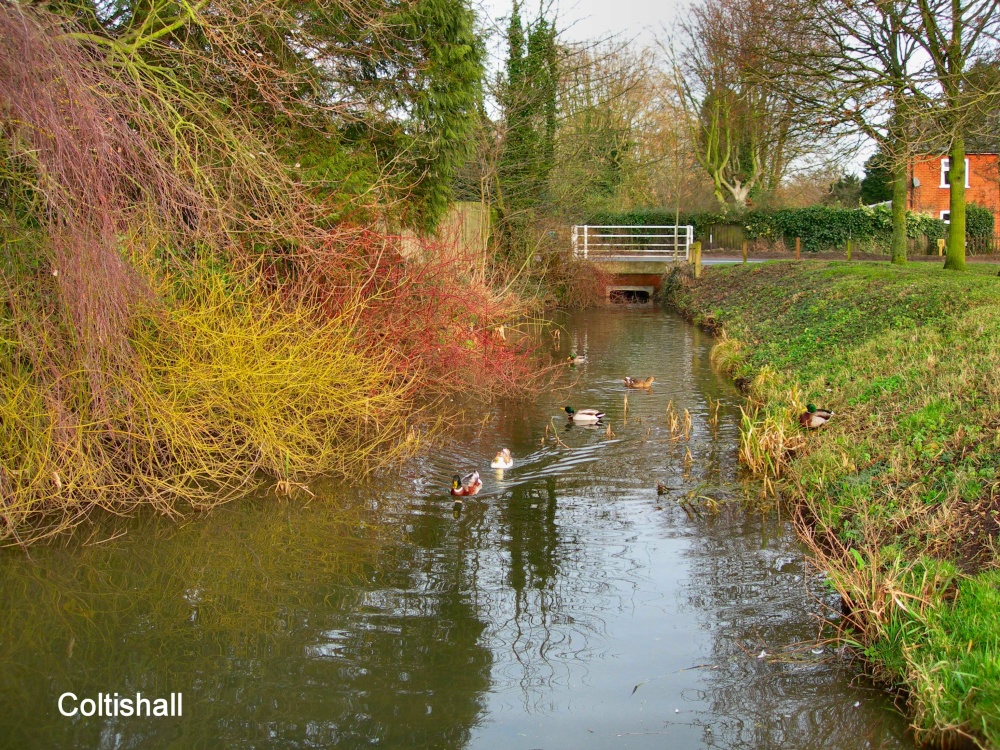
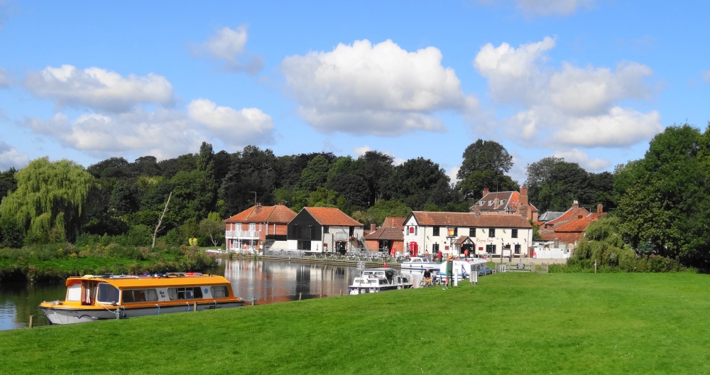
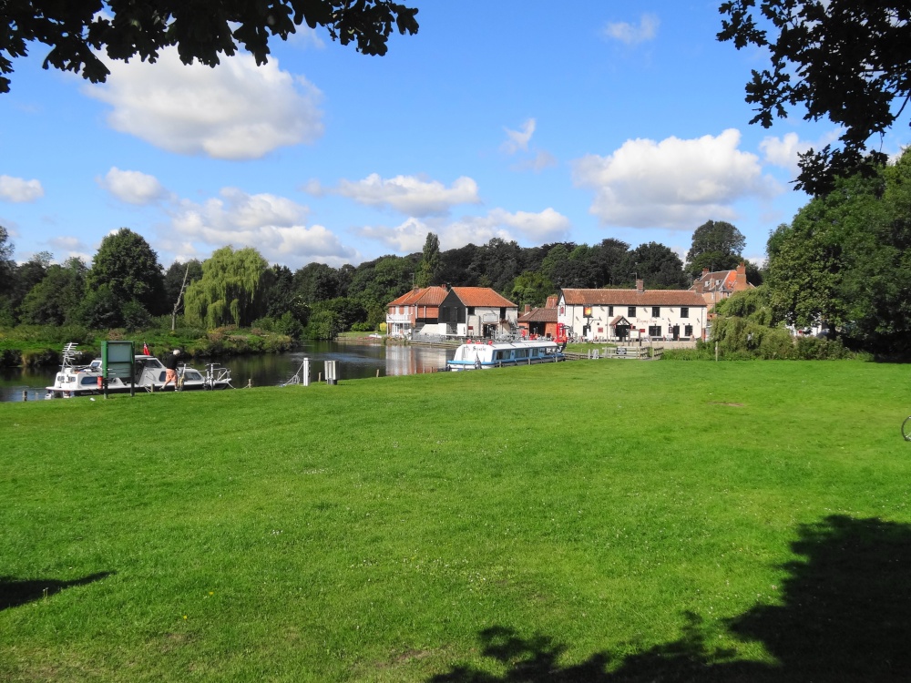
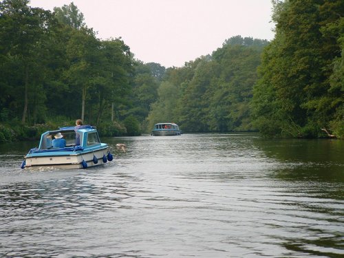
This lovely place stands on the River Bure, in recent years it has become a hive of bustling activity especially in summertime when it acts as a Mecca for boating enthusiasts who.....

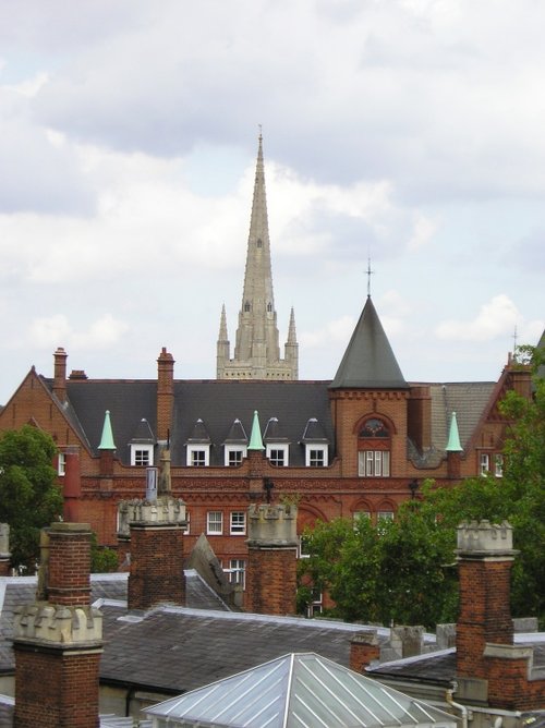
Norwich is one of England's most beautiful cities, it is a rich tapestry of modern style mixed with plenty of echoes of the past, all preserved for future generations to come...
The town is attractive with a delightful mixture of buildings, including timber-frame black and white, it is pleasant for taking a stroll, and The Boulevard is where you can hire a boat or book a trip on the Waveney...
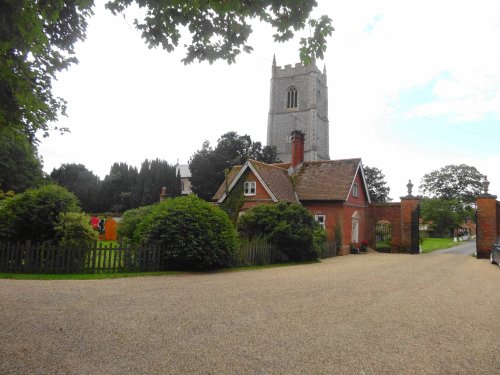
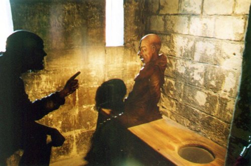
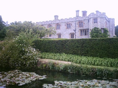
This is a village that is used to publicity, it has been the setting for numerous films including The Go-Between, made in 1970 starring Alan Bates and the beautiful Julie Christie...
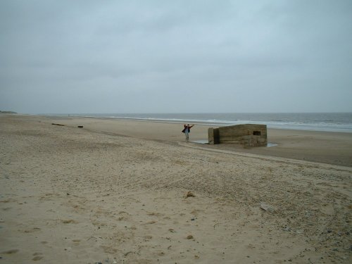
Hemsby is located close to Great Yarmouth, within easy reach of the fine network of waterways covering the landscape of the Norfolk Broads...
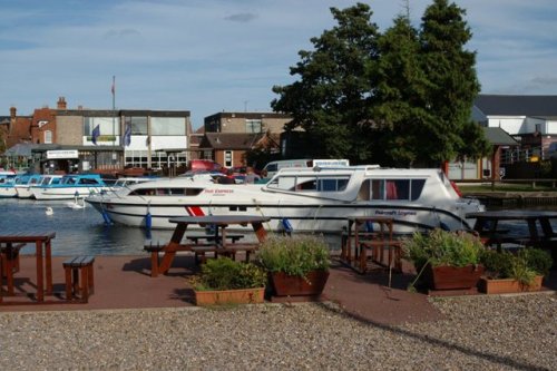
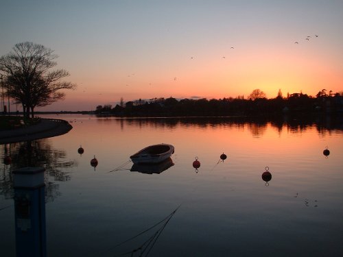
A trip to the Norfolk Broads is to experience a little bit of paradise where the most beautiful sound, is the sound of silence......
In a town that is full of ancient well preserved streets and buildings which retain their medieval appearance and atmosphere, it.....
This magnificent 13th century castle is one of Norfolk's premier tourist attractions. It was originally built as a Royal palace,.....
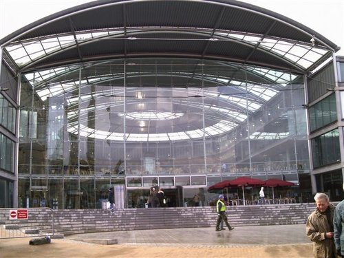
A unique landmark building in the heart of the city of Norwich, The Forum is a dynamic centre for learning, information and.....
This stunning Jacobean mansion was spawned from Hatfield House which belonged to the powerful Cecil family. Both buildings were.....

..
..
Follow PicturesOfEngland.com on social media and help share the beauty of England....