Please login or click here to join.
Forgot Password? Click Here to reset pasword
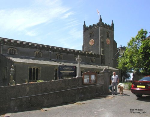
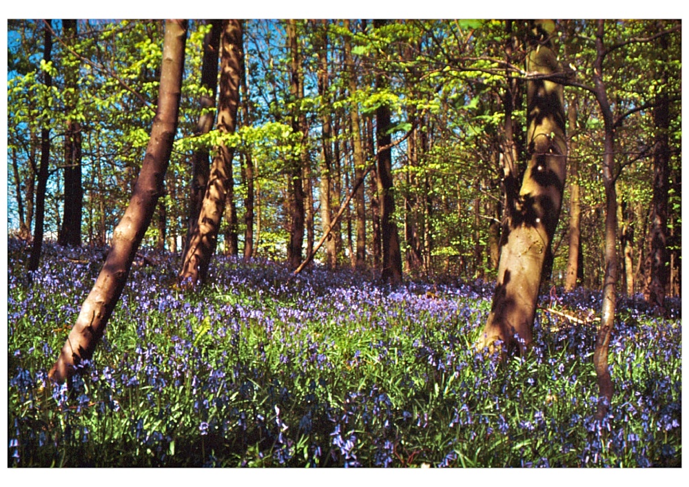
Warton is a pleasant village to visit. Interestingly, it is in a site considered to be of special scientific interest, quite possibly the home of early man...
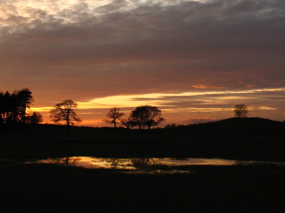
Hest Bank makes an interesting alternative to crowded Morecambe, it is ideal as a base for touring coast and the old cotton towns of Lancashire...
This pretty village has all the ingredients of an old style fishing village with a delightful mix-match of charming properties rising up from a beach of firm golden sand littered with colourful sailing boats...
This is a city which long ago lost it's grim clogs and mill image to give way to a fast growing city with a fine reputation as a centre of commerce and culture where bright, modern University buildings sit comfortably with Lancaster's historic areas...

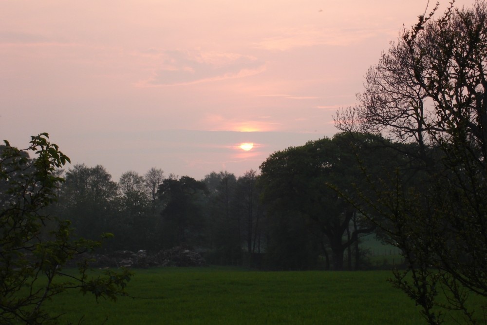
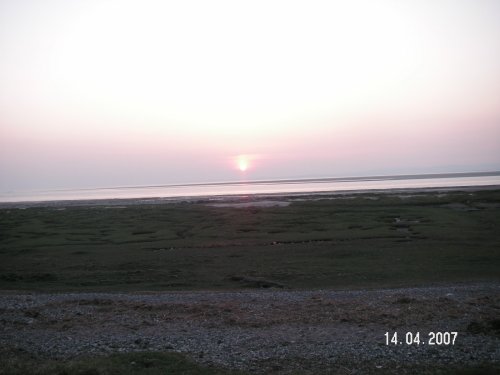
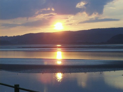
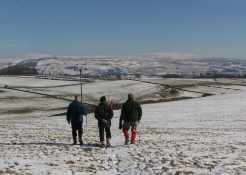
Morecambe has always been one of the most popular and successful seaside resorts in England. It has one of the most spectacular views in England. Looking from the promenade the.....
..
..
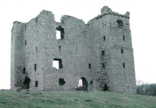
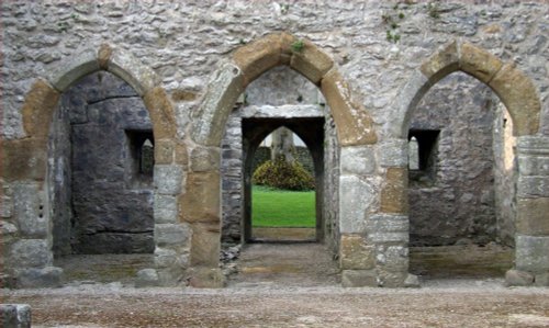
The oldest building in the parish of Arnside. Arnside Tower is a ruin of a Pele tower which were fortified structures quite.....
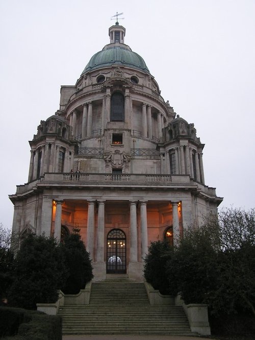
The Ashton Memorial with its green dome, overlooks the City from Williamson Park. It forms a famous Classical landmark and was.....
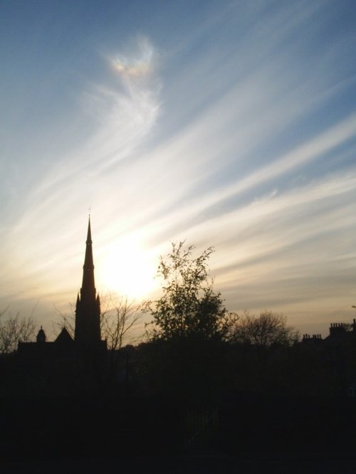
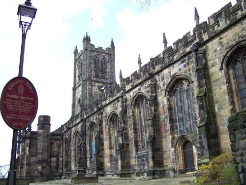
This may not be as old as other English cathedral churches, but with its soaring spire reaching to a height of 240 feet and a.....
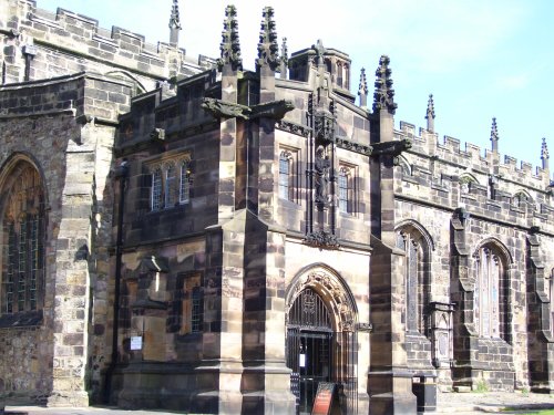
Dominating the skyline of the town, Lancaster Castle is of the best-preserved castles in England. This Castle is still used as a.....
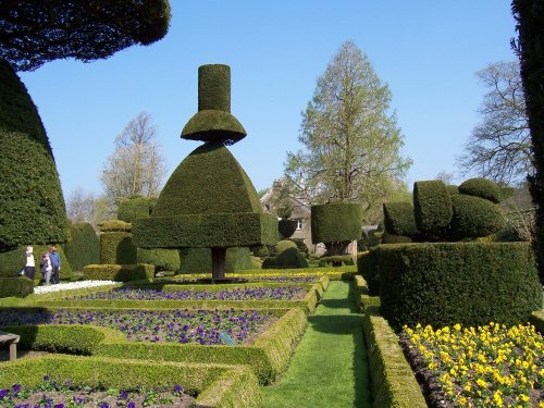
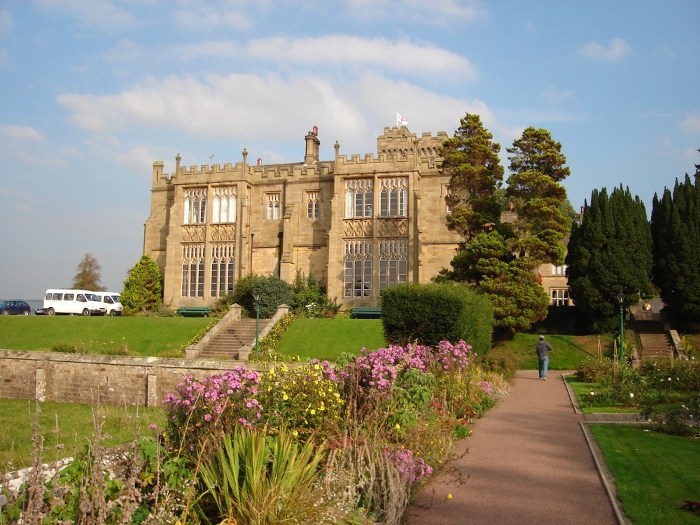
Levens Hall is a wonderful Elizabethan mansion, which began life as a medieval tower refuge against the Scots, it was completed.....
Follow PicturesOfEngland.com on social media and help share the beauty of England....