County Town, being sited on the River Medina, about 5 miles from the sea. Despite its name, the town became the 'New Port' and was given its charter by Richard de Revers, Lord of the Island, as early as 1180...
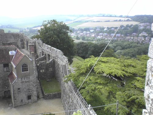
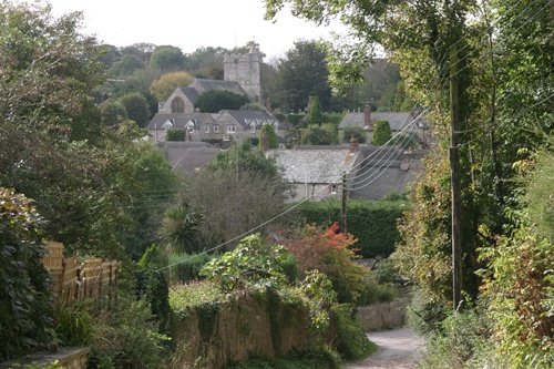
Carisbrooke sits close to Newport on the lovely Isle of Wight...
Standing close to the saltmarshes and creeks along the Beaulieu River, in an area of outstanding natural beauty, Exbury must be one of the most captivating villages for miles around...
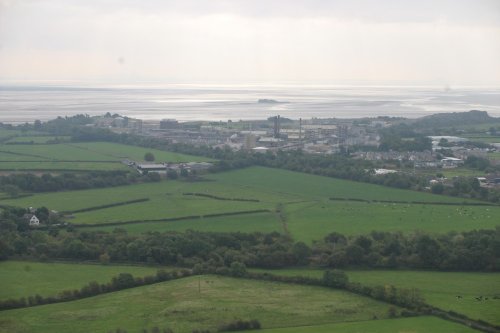
One of the Island's most popular resorts and is situated on the north-east coast. The town is the first port of call from the mainland on the south-east side...
This lovely village is set in the lush greenery of the New Forest where a pretty village street leads to the banks of the Beaulieu River at the point at which it opens up as an estuary...
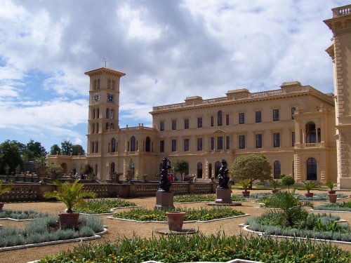
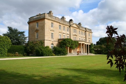
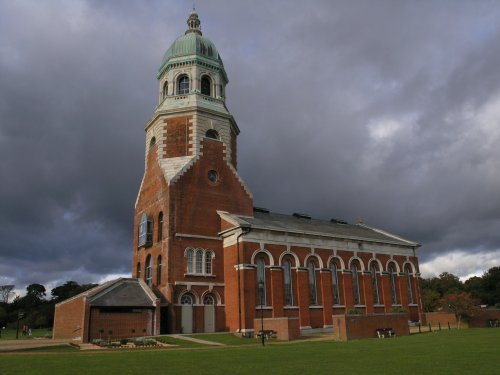
It is often said, in spite of the fact Queen Victoria spent much of her time at Balmoral in the Scottish highlands, that Osborne.....
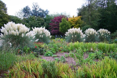
This is a spectacular garden hidden in pleasant countryside overlooking the Beaulieu River in the New Forest. The.....
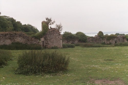
The ruins of Quarr Abbey can be found close to the entrance of Wooten Creek, a pretty waterway used by small fishing boats and.....
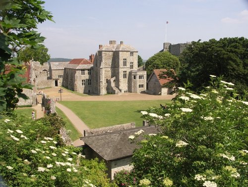
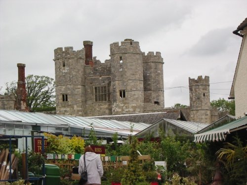
The castle is where the Roundheads kept King Charles I a prisoner from 1647 until shortly before his execution on 30 January.....
..
..
..
Follow PicturesOfEngland.com on social media and help share the beauty of England....