Please login or click here to join.
Forgot Password? Click Here to reset pasword
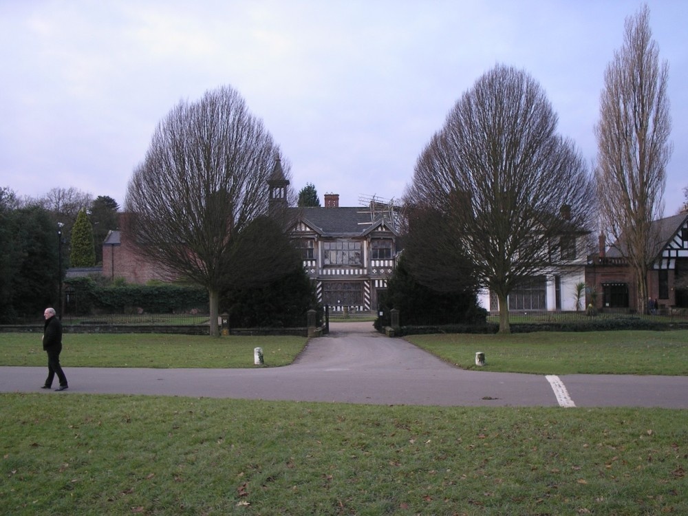
Wythenshawe Park is one of Manchester Leisure's regional parks. The park is set in 109.27 hectares (270 acres) of green area and boasts a wide range of leisure opportunities for all age groups, all year round. The park hosts Family Fundays throughout the summer, and an annual firework and bonfire extravaganza.
Wythenshawe Hall was a family home for nearly four hundred years. The original Hall was built around 1540 by Robert Tatton, and was developed over the following centuries by fourteen generations of his family. In 1926 the Tatton estate was sold to provide new housing for the people of Manchester and the Hall and parkland were turned into an art gallery and landmark for the many people who live and work locally.
a Historic Market Town in the county of Greater Manchester
(3.0 miles, 4.8 km, direction W)First developed as a quiet hamlet on the edge of the sweeping Cheshire Plain, where life went quietly on...
a Historic City in the county of Greater Manchester
(5.4 miles, 8.7 km, direction N)A thriving truly cosmopolitan city with a great mixture of new and old. The capital of the north..
in the county of Greater Manchester
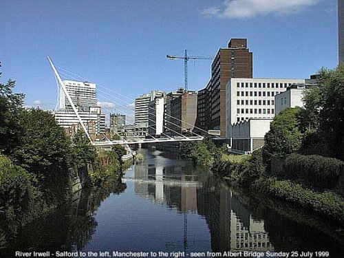
(5.9 miles, 9.5 km, direction N)The City of Salford lies at the heart of the Metropolis known as Greater Manchester in an area where cotton was once king and its mill workers were portrayed for posterity by acclaimed 20th-century artist L.S.Lowry...
a Picturesque Village in the county of Cheshire
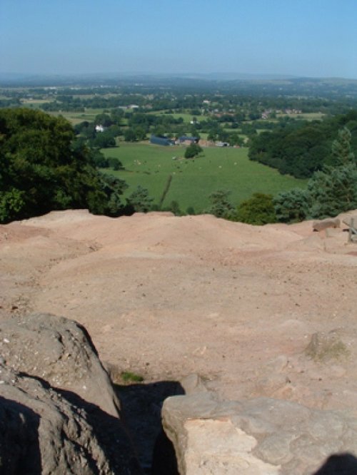
(7.3 miles, 11.8 km, direction S)Alderley Edge is a popular tourist spot in the county of Cheshire, consisting of a prominent 'edge' or sandstone ridge which is popular with walkers and offers stunning views. You.....
in the county of Greater Manchester
(8.1 miles, 13.0 km, direction NE)Audenshaw is a suburb of Greater Manchester. It is probably best known for its reservoirs and the busy waters of the Ashton canal, beside which visitors can see clusters of delightful canal-side properties...
All towns in Greater Manchester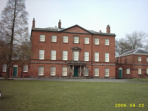
This is a pleasant russet brick house built by Timothy Lightoler in the Mid 18th-century. The interior contains one of the most.....

At restored Quarry Mill the air hangs heavy with the atmosphere of the Victorian people of Wilmslow who spent their days toiling.....
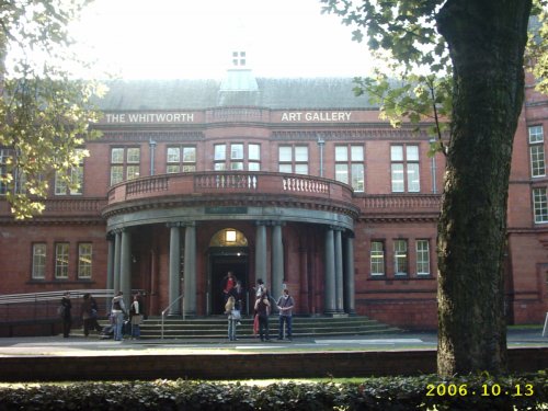
Internationally famous for its collections of art and design, the Whitworth Art Gallery in Manchester, north west England, is.....
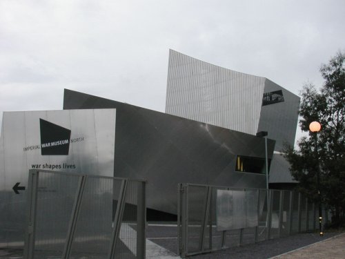
Opened at The Quays in Trafford Park, Manchester in July 2002 and created to give northern audiences access to the national.....
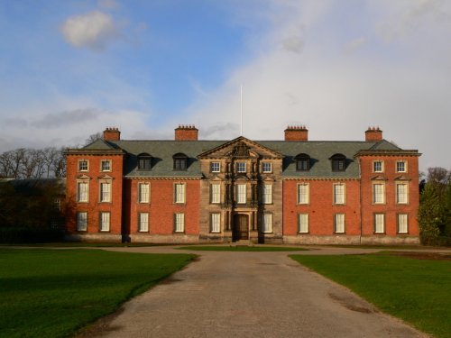
This handsome 18th century red brick house was built around an Elizabethan moated manor house, built by the first George Booth. .....
Follow PicturesOfEngland.com on social media and help share the beauty of England....