Please login or click here to join.
Forgot Password? Click Here to reset pasword
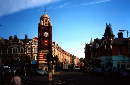
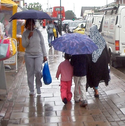
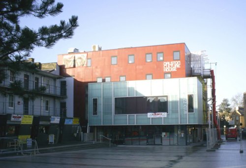
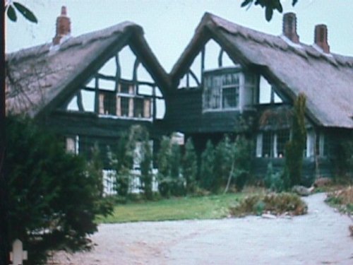
If you would like to add a description of Friern Barnet, please use our Friern Barnet forum here. To upload your Friern Barnet photography and create your very own 'Pictures of England Gallery', click here or here to join the site and become part of the Pictures of England community, or simply see below for nearby recommended towns, attractions, and Friern Barnet accommodation.
..
..
..

..
..

Stamford Hill lies in the north of the London Borough of Hackney. It is a popular residential area, and home to one of Europes' largest Orthodox Jewish communities...
..
..

Stoke Newington offers visitors a diverse cultural experience, it has restaurants of all types of cuisine, plenty of pubs, clubs, shops and markets, and is sufficiently close to all the historic attractions at the heart of the City of London...
..
..
..
Camden town is a vibrant cosmopolitan region of London...

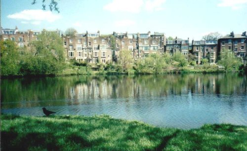
This is one of London's leafy suburbs where visitors can enjoy seeing elegant Victorian and Edwardian houses whilst enjoying the great outdoors...
..
..

..
..

..
The name of the area is taken from the boy martyred in AD 304. Pancras was the orphaned Christian son of a Phrygian nobleman who was brought up at the court of the Emperor in Rome...
..

..
..
..
..
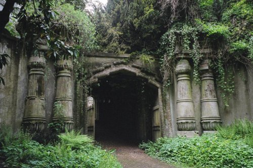
London's famous victorian Cemetery..
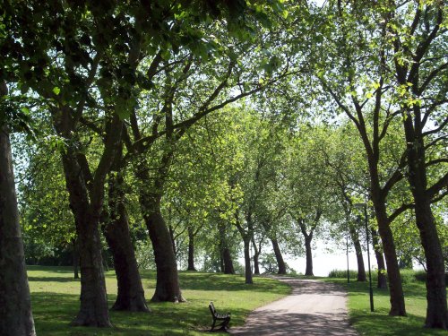
This marvellous richly planted seemingly unending open area is one of London's favourite places. It was formerly the grounds of.....

..

Since opening its doors to the public in 1847 London Zoo has become the most famous zoo in the world. With over 650 species, an.....
..
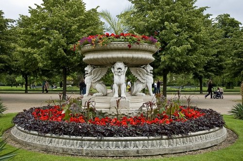
Although the history of Regent's Park stretches back to the time of Charles I, it really only came into its own during the early.....
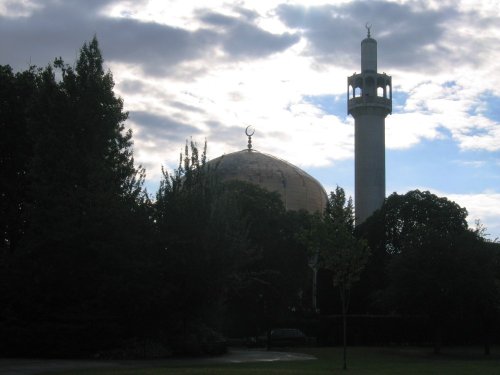
The Central London Mosque, founded in 1965 was designed by Sir Frederick Gibberd. 1978 saw the completion of the Mosque. The.....
Follow PicturesOfEngland.com on social media and help share the beauty of England....