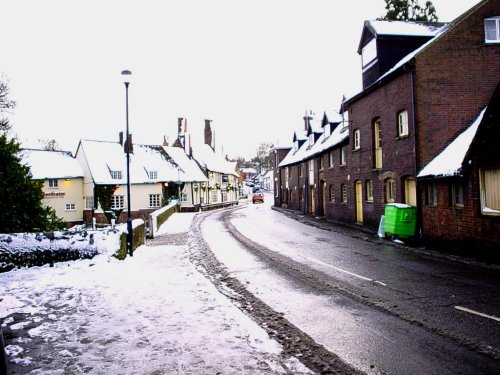
If you would like to add a description of Kilburn, please use our Kilburn forum here. To upload your Kilburn photography and create your very own 'Pictures of England Gallery', click here or here to join the site and become part of the Pictures of England community, or simply see below for nearby recommended towns, attractions, and Kilburn accommodation.

This area of London is known throughout the world as the scene of London's biggest annual street party...
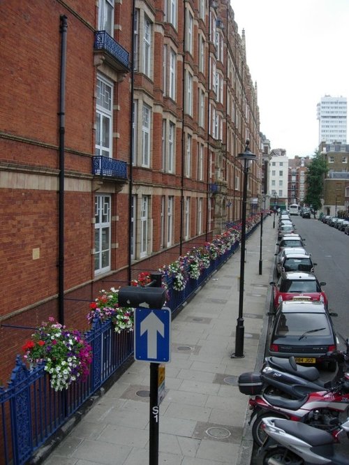
Marylebone is one of London's more affluent area's, it is home mostly to the well to do, and yet only a couple of centuries ago a large workhouse was built here to give shelter to the poor and homeless, often foundlings were discovered on the workhouse doorstep...
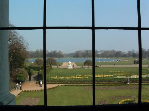
The attractive Royal borough of Kensington has many special places. Most prominent is Kensington Palace, birthplace of Queen Victoria...
Camden town is a vibrant cosmopolitan region of London...
Mayfair has it all, it is the haunt of the rich and famous, with elegant houses and apartment buildings that are the sole province of the wealthy...

The Central London Mosque, founded in 1965 was designed by Sir Frederick Gibberd. 1978 saw the completion of the Mosque. The.....

Since opening its doors to the public in 1847 London Zoo has become the most famous zoo in the world. With over 650 species, an.....
Although the history of Regent's Park stretches back to the time of Charles I, it really only came into its own during the early.....
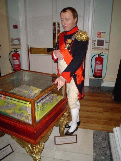
Madame Tussauds, the worldwide famous Waxworks Museum has a multitude of fascinating exhibits of famous people such as Michael.....
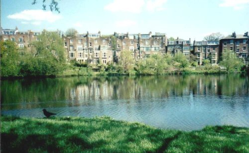
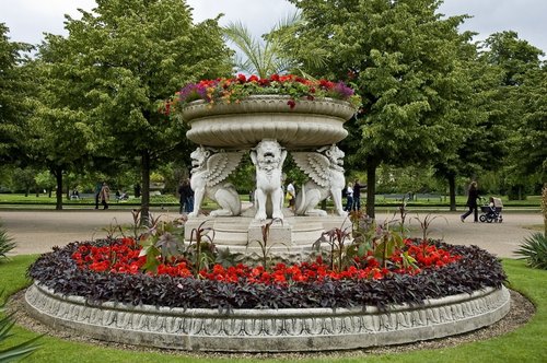
This marvellous richly planted seemingly unending open area is one of London's favourite places. It was formerly the grounds of.....
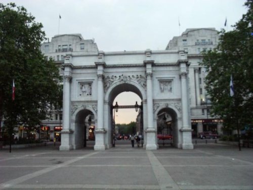
Marble Arch was was designed by John Nash and purpose built in 1828 to be the grand entrance to Buckingham Palace. It is.....

One of the Royal parks of London, Hyde park is one of London's finest historic landscapes...
Follow PicturesOfEngland.com on social media and help share the beauty of England....