Please login or click here to join.
Forgot Password? Click Here to reset pasword
If you would like to add a description of Belmont, please use our Belmont forum here. To upload your Belmont photography and create your very own 'Pictures of England Gallery', click here or here to join the site and become part of the Pictures of England community, or simply see below for nearby recommended towns, attractions, and Belmont accommodation.
Ealing is a thriving place which is now hugely cosmopolitan and has a wide range of multi-cultural offerings...
This is a lovely old town where three rivers meet, it has lakes and watermeadows, and during the 20th-century was known for having one of the finest bathing lakes, close to.....
This area of London is known throughout the world as the scene of London's biggest annual street party...
Kew is just downstream from the delights of Richmond, and is best known for the Royal Botanic Gardens, or as they are more popularly known 'Kew Gardens'...
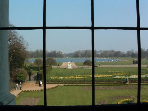
The attractive Royal borough of Kensington has many special places. Most prominent is Kensington Palace, birthplace of Queen Victoria...

..
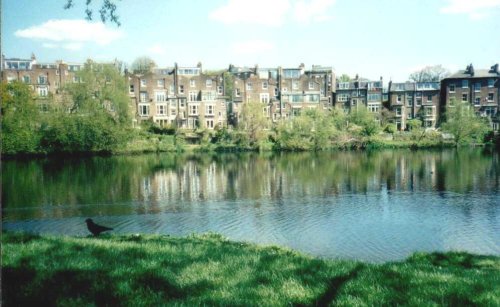
This marvellous richly planted seemingly unending open area is one of London's favourite places. It was formerly the grounds of.....
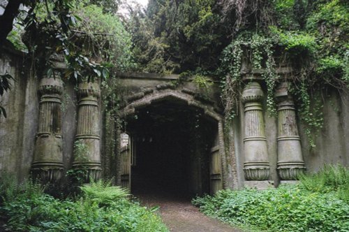
London's famous victorian Cemetery..
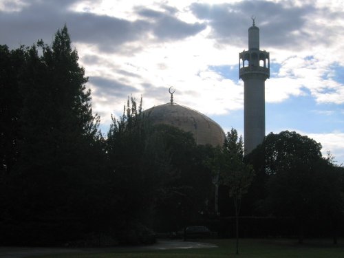
The Central London Mosque, founded in 1965 was designed by Sir Frederick Gibberd. 1978 saw the completion of the Mosque. The.....

Since opening its doors to the public in 1847 London Zoo has become the most famous zoo in the world. With over 650 species, an.....

Kensington Palace is not only the private residence for several members of the Royal Family, it also has designated areas that.....
See also Kew Royal Botanical Gardens..
Follow PicturesOfEngland.com on social media and help share the beauty of England....
