Please login or click here to join.
Forgot Password? Click Here to reset pasword
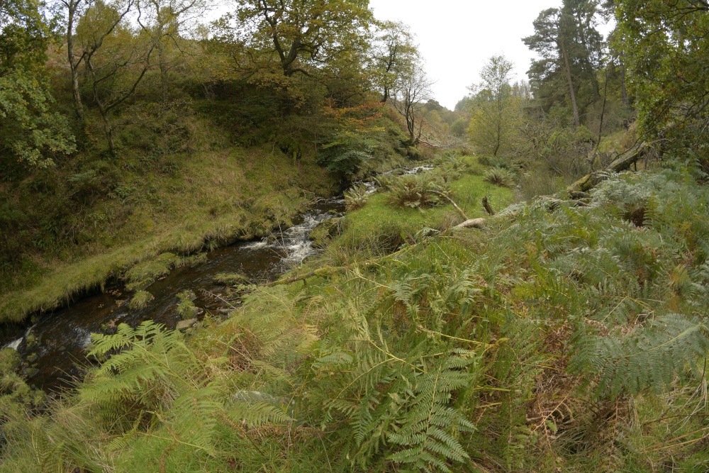
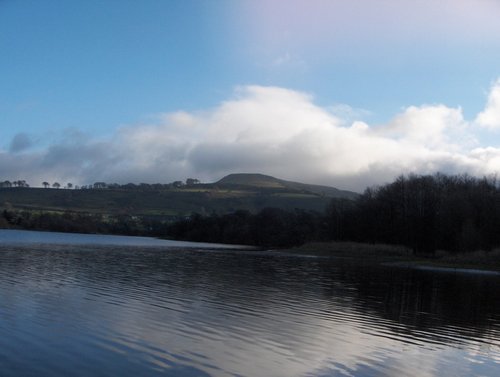
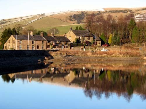
Goyt's Moss lies in the wild and beautiful Goyt Valley, its steep slopes sweep down into the tranquil waters of the Fernlee Reservoir and the Errwood Reservoir, which is dotted with sailing boats in the summer. The area is renowned for delightful walks, and for the ancient sport of fell racing.
The region was once busy with farms, coalfields, and in the distant past even a gunpowder factory. A noted feature often visited by hikers is the romantic ruinous Errwood Hall. Deserted when the valley was flooded to create the reservoir, the picturesque 18th century house surrounded by banks of rhododendrons is now preserved as a ruin.
This is an idyllic area for anyone who enjoys an almost limitless variety of scenery, it has secretive wooded places for wildlife and silvery streams flowing into the reservoir at the valley bottom.
a Historic Market Town in the county of Derbyshire
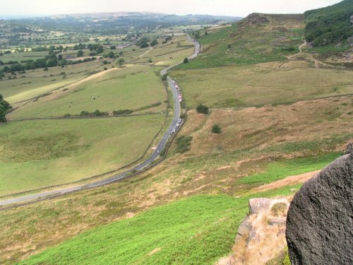
(2.7 miles, 4.4 km, direction E)This barely spoilt town offers an exciting opportunity to enjoy a town crammed with beautiful buildings whilst exploring the high upland regions of England's glorious Peak District National Park...
in the county of Derbyshire
(4.9 miles, 7.9 km, direction N)An attractive small town in the High Peak district of Derbyshire...
in the county of Derbyshire
(5.5 miles, 8.9 km, direction NE)Chapel is a well preserved, picturesque place. It has a lovely old church dating back to the 14th-century which stands on the spot of an earlier church built by foresters a century or so before...
in the county of Derbyshire
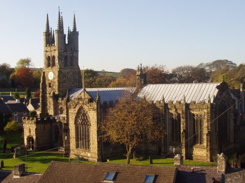
(8.6 miles, 13.8 km, direction E)Tideswell is famous for its superb, large church, known as the "Cathedral of the Peak"...
in the county of Greater Manchester
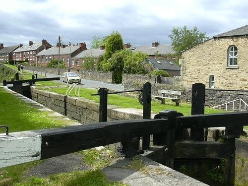
(10.2 miles, 16.5 km, direction N)Marple has many splendid canal features from the past, these include a flight of 16 locks and a three arched aqueduct which takes the Peak Forest canal over the River Goyt...
All towns in Derbyshire
..

Tegg's Nose Country Park comprises mainly of wild untamed countryside high above Macclesfield. It offers nature lovers many.....
Dating form the 18th Century and standing in beautiful surroundings, on the edge of Macclesfield Forest Reservoir, this stone.....
The spectacular Roaches are situated at the end of the Pennine Way, these together with oddly named Hen Cloud contrive between.....
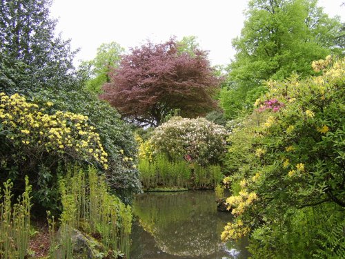
Set amidst the grandeur of the high Peaks amongst softly rolling countryside of undisputed splendour is the magnificent house.....
Follow PicturesOfEngland.com on social media and help share the beauty of England....