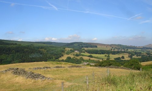
The spectacular Roaches are situated at the end of the Pennine Way, these together with oddly named Hen Cloud contrive between them to form the last outcrop of battered Millstone Grit at the southern and western edge of the Dark Peak.
Comprising of rock and heather this picturesque area once belonged to the Swythamley Estate, it was purchased by the Peak District National Park in 1980 following the break up of the estate so that the beauty of this unique area would remain protected for the enjoyment of everyone. It has many quaint facets including a cottage built into the walls of rock! This was once a gamekeepers residence, but is now a hut for climbers.
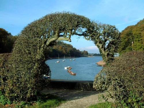
Looming out from swirling mist, the weird weathered shapes of the Roaches challenge climbers to scale heights of up to 1,700 feet. Unexpectedly, at the halfway point you climb out of the mist into a pretty wooded pasture where there are richer soils and easier slopes. On reaching the top you reap a rich reward of fantastic views taking in the sweeping contours of Axe Edge, the shimmering waters of Tittersworth Reservoir, and the lofty Congleton hill known locally as The Cloud. Engulfed between the massive boulders at the summit is a little pool, this makes an attractive place for a mid-climb rest and to pick out your next goal, it also provides you with the opportunity to admire a landscape of unrivalled beauty.
The Roaches are found around 3 miles north-west of Leek, they are accessed from the village of Upper Hulme.
in the county of Staffordshire
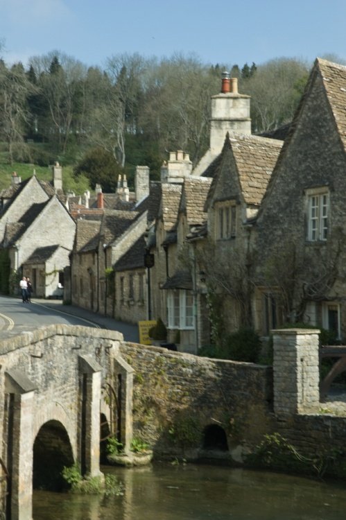
(4.6 miles, 7.4 km, direction SW)A pretty village with a delightful cluster of cottages and houses with lovely gardens, bordered by woods at the south end of the picturesque Rudyard Reservoir...
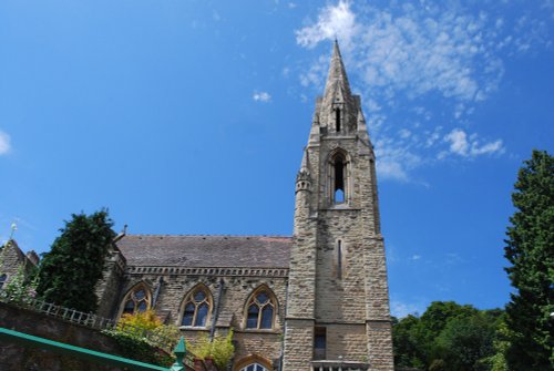
a Historic Market Town in the county of Derbyshire
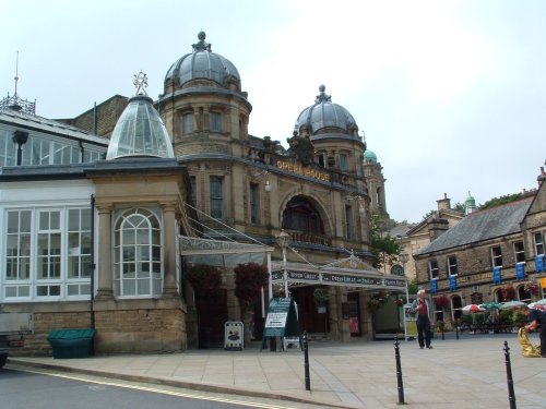
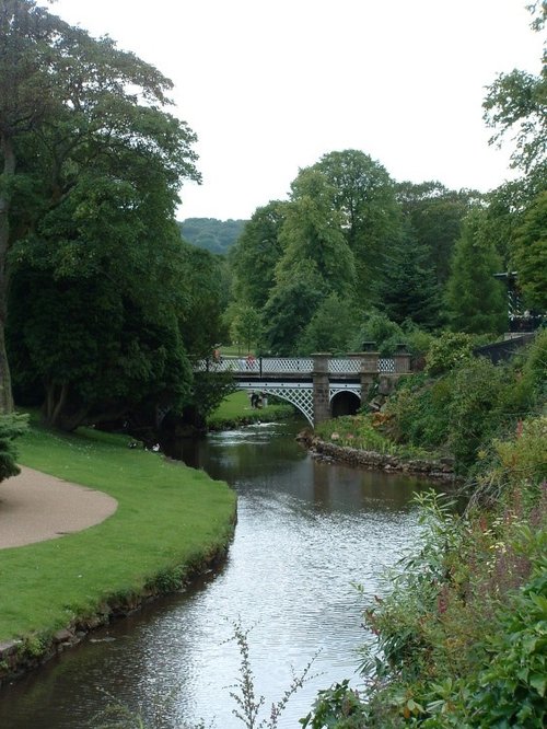
(7.1 miles, 11.4 km, direction NE)This barely spoilt town offers an exciting opportunity to enjoy a town crammed with beautiful buildings whilst exploring the high upland regions of England's glorious Peak District National Park...
in the county of Derbyshire
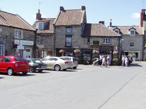
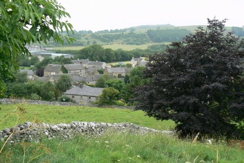
(8.6 miles, 13.8 km, direction E)Hartington is a small village centred around a medieval market place, with attractive 18th and 19th century buildings...
in the county of Staffordshire
(9.9 miles, 15.9 km, direction SW)The sheer scale of the height of this village with the quaint sounding name has made it famous, for it is believed that on a clear day the hill is visible to no less than five counties...
in the county of Staffordshire
(10.3 miles, 16.6 km, direction S)Attractively situated on the banks of the Caldon Canal in the beautiful Churnet Valley. Froghall offers visitors the opportunity to experience a diverse range of landscapes including fine watermeadows with a wealth of wildlife...
All towns in Staffordshire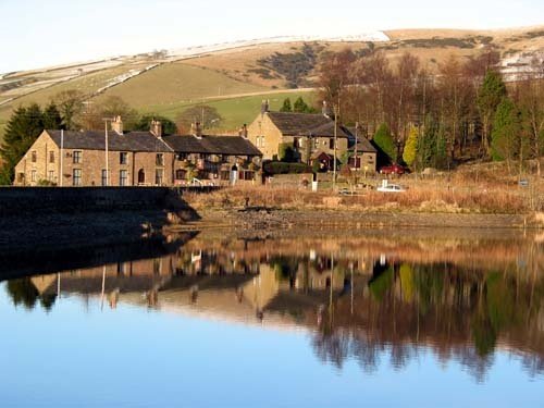
Dating form the 18th Century and standing in beautiful surroundings, on the edge of Macclesfield Forest Reservoir, this stone.....
Goyt's Moss lies in the wild and beautiful Goyt Valley, its steep slopes sweep down into the tranquil waters of the Fernlee.....

Tegg's Nose Country Park comprises mainly of wild untamed countryside high above Macclesfield. It offers nature lovers many.....
..
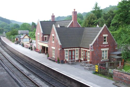
The Churnet Valley Railway is a preserved standard gauge heritage railway to the east of Stoke-on-Trent in Staffordshire,.....
Enjoy this site?
Please help us stay online by making a donation today - thank you for your kind support.

Follow PicturesOfEngland.com on social media and help share the beauty of England....