Please login or click here to join.
Forgot Password? Click Here to reset pasword
If you would like to add a description of Boythorpe, please use our Boythorpe forum here. To upload your Boythorpe photography and create your very own 'Pictures of England Gallery', click here or here to join the site and become part of the Pictures of England community, or simply see below for nearby recommended towns, attractions, and Boythorpe accommodation.
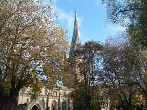
Chesterfield is an attractive town close to the dramatic peaks of the Peak District National Park. It is well known for its strange landmark, the crooked spire of its parish.....
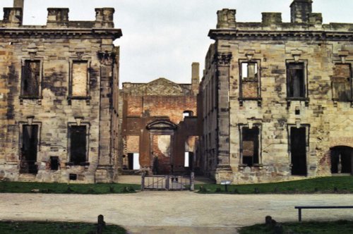
This is a village noted for the romantic ruins of what was once one of the grandest houses in Derbyshire...
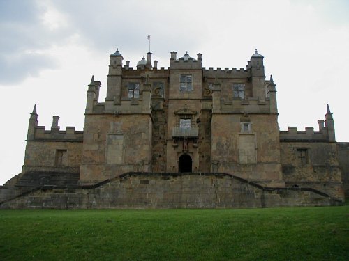
Bolsover is a small town lying 5 miles east of Chesterfield. It occupies a picturesque valley setting, watched over by 17th century Bolsover Castle which stands on the site of a former fortress of Norman times...

It was the 6th Duke of Devonshire who looked out of his window one day from Chatsworth House, and realised that the magnificent view of the park in front of him was blocked by a.....
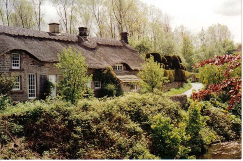
Set amidst the stark loneliness of the High Peak the village of Baslow is surrounded by some of the finest historic properties to be found in Derbyshire...
..
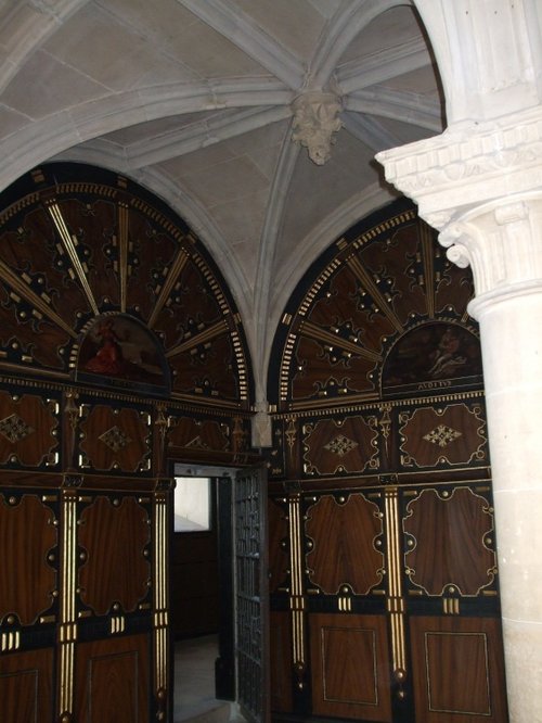
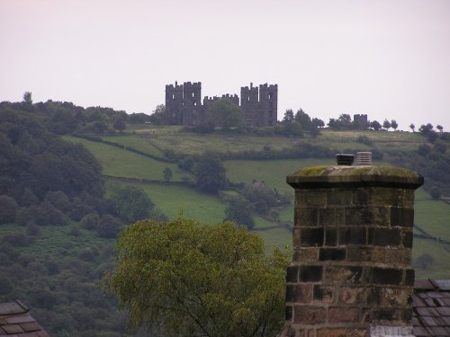
The early morning sun streams down on a piece of Derbyshire's proud heritage, as into view come the magnificent ruins of Bolsover.....
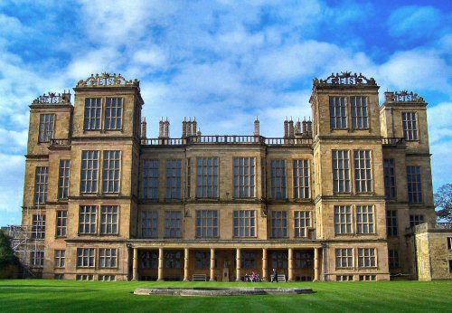
This magnificent Elizabethan house was begun by Elizabeth, Countess of Shrewsbury (Bess of Hardwick) in the year 1591. For the.....
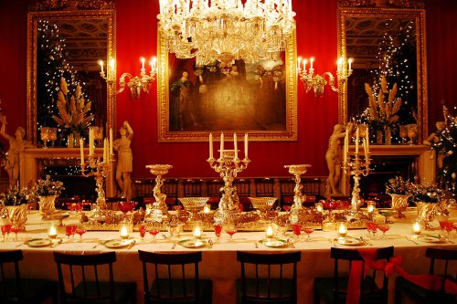
The magnificent Classical mansion that is Chatsworth House, is one of the most celebrated Historic Houses in England. Built in.....
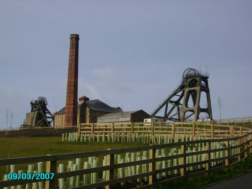
Pleasley Pit Country park is a reclaimed colliery site, which now offers nature lovers the chance to see record numbers of.....
The Matlocks between them form some of the most outstanding countryside in the Peak District. Here you can find Riber Castle.....
..
Follow PicturesOfEngland.com on social media and help share the beauty of England....
