Please login or click here to join.
Forgot Password? Click Here to reset pasword
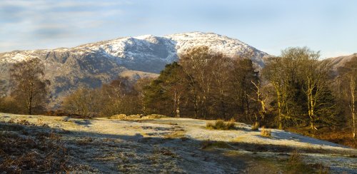
It offers a panorama of superb views in all directions, and is certainly one of the most magnificent walking areas close to the western fringe of the Lake District National Park...
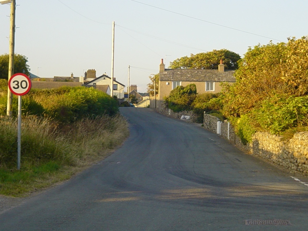
Dalton-in-Furness can be found at the meeting point of the roads leading from the mass of sands forming the Furness peninsula-one road leads from Ulverston and the other from.....
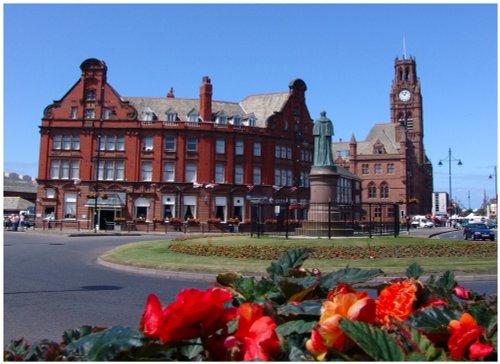
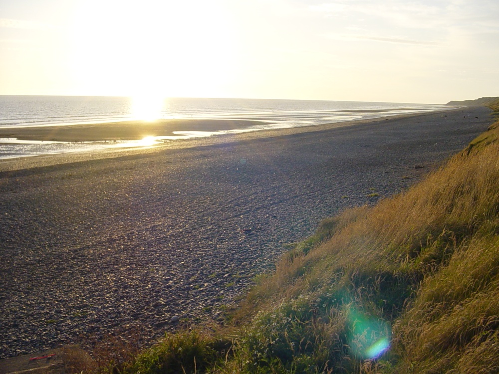
Barrow-in-Furnace is defined by three things, the glorious red Sandstone ruins of Furnace Abbey, founded by King Steven in 1132, its beautiful sea and coastline where visitors thrill to the exciting sight of tall ships competing in the Tall Ship's Festival, and the magical views of Lakeland's distant towering peaks...
Special for being the only coastal village within the Lake District National Park, Ravenglass lies where three important rivers converge into the sea...
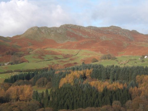
Scenery does not come much finer than the scenic beauty surrounding the Valley of the River Duddon where you will find the delightful hamlet of Hall Dunnerdale...

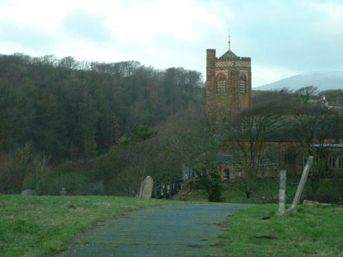
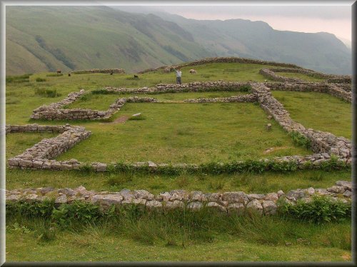
St Mary of Furness was founded in 1123 by Stephen, later King of England...
..
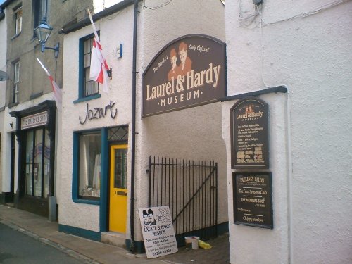
The Laurel and Hardy Museum is appropriately sited in the town of Ulverston, Stan Laurel's birthplace. He was born in 1890, the.....
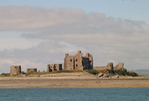
The last foreign invasion of England took place in 1486 when Irish and Flemish supporters of Lambert Simnel landed at Piel in a.....
..

Wast Water is the deepest lake in England at 280 feet deep. The awesome peaks of Sca Fell and Great Gable tower over the wild,.....
This exceptional magical landscape is known as Beatrix Potter Country. For it is here amongst Lakeland's magnificent tarns and.....
Follow PicturesOfEngland.com on social media and help share the beauty of England....